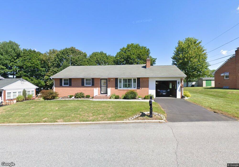
79 George St Taneytown, MD 21787
Estimated Value: $280,276 - $322,000
--
Bed
1
Bath
1,338
Sq Ft
$229/Sq Ft
Est. Value
About This Home
This home is located at 79 George St, Taneytown, MD 21787 and is currently estimated at $305,819, approximately $228 per square foot. 79 George St is a home located in Carroll County with nearby schools including Taneytown Elementary School, Northwest Middle School, and Francis Scott Key High School.
Ownership History
Date
Name
Owned For
Owner Type
Purchase Details
Closed on
Jul 23, 2014
Sold by
Smith Kathleen A
Bought by
Smith Kathleen A
Current Estimated Value
Home Financials for this Owner
Home Financials are based on the most recent Mortgage that was taken out on this home.
Original Mortgage
$144,000
Interest Rate
4.14%
Mortgage Type
New Conventional
Create a Home Valuation Report for This Property
The Home Valuation Report is an in-depth analysis detailing your home's value as well as a comparison with similar homes in the area
Home Values in the Area
Average Home Value in this Area
Purchase History
| Date | Buyer | Sale Price | Title Company |
|---|---|---|---|
| Smith Kathleen A | $180,000 | Safeguard Title Insurance |
Source: Public Records
Mortgage History
| Date | Status | Borrower | Loan Amount |
|---|---|---|---|
| Closed | Smith Kathleen A | $144,000 |
Source: Public Records
Tax History Compared to Growth
Tax History
| Year | Tax Paid | Tax Assessment Tax Assessment Total Assessment is a certain percentage of the fair market value that is determined by local assessors to be the total taxable value of land and additions on the property. | Land | Improvement |
|---|---|---|---|---|
| 2025 | $3,182 | $233,833 | $0 | $0 |
| 2024 | $3,182 | $220,067 | $0 | $0 |
| 2023 | $3,095 | $206,300 | $75,000 | $131,300 |
| 2022 | $2,868 | $195,867 | $0 | $0 |
| 2021 | $5,490 | $185,433 | $0 | $0 |
| 2020 | $2,589 | $175,000 | $75,000 | $100,000 |
| 2019 | $2,498 | $166,533 | $0 | $0 |
| 2018 | $2,345 | $158,067 | $0 | $0 |
| 2017 | $2,229 | $149,600 | $0 | $0 |
| 2016 | -- | $149,600 | $0 | $0 |
| 2015 | -- | $149,600 | $0 | $0 |
| 2014 | -- | $157,300 | $0 | $0 |
Source: Public Records
Map
Nearby Homes
- 125 Commerce St
- 8 Courtland St
- 5 Reaverton Ave
- 68 Crimson Ave
- 105 Ridge Ave
- 27 Planetree Dr
- 38 W Baltimore St
- 41 Westview Dr
- 547 Kenan St
- 205 Ridge Ave
- 545 Kenan St
- 54 W Baltimore St
- 58 W Baltimore St
- 209 Colbert St
- 428 E Baltimore St
- 430 E Baltimore St
- 142 Crimson Ave
- 64 Bancroft St
- 209 Grand Dr
- 0 Harney Rd
- 77 George St
- 81 George St
- 202 Carroll Heights Rd
- 201 Carroll Heights Rd
- 76 George St
- 502 Darby Dr
- 203 Carroll Heights Rd
- 204 Carroll Heights Rd
- 85 George St
- 74 George St
- 504 Darby Dr
- 206 Carroll Heights Rd
- 508 Darby Dr
- 64 George St
- 100 George St
- 506 Darby Dr
- 73 George St
- 97 George St
- 208 Carroll Heights Rd
- 102 George St