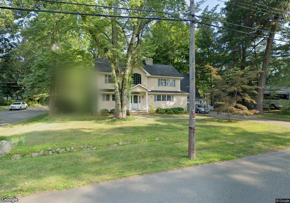
79 Haring Dr Old Tappan, NJ 07675
Estimated Value: $1,335,000 - $1,529,000
5
Beds
3
Baths
3,648
Sq Ft
$391/Sq Ft
Est. Value
About This Home
This home is located at 79 Haring Dr, Old Tappan, NJ 07675 and is currently estimated at $1,424,898, approximately $390 per square foot. 79 Haring Dr is a home located in Bergen County with nearby schools including T. Baldwin Demarest Elementary School, Charles DeWolf Middle School, and Northern Valley Regional High School at Old Tappan.
Ownership History
Date
Name
Owned For
Owner Type
Purchase Details
Closed on
Jun 4, 2021
Sold by
Mertz William J and Darnulc Kathleen A
Bought by
Park Woong Jae and Lee Yoo Jin
Current Estimated Value
Home Financials for this Owner
Home Financials are based on the most recent Mortgage that was taken out on this home.
Original Mortgage
$686,250
Interest Rate
2.9%
Mortgage Type
New Conventional
Purchase Details
Closed on
Mar 2, 1993
Bought by
Mertz William J and Carol Curcio
Create a Home Valuation Report for This Property
The Home Valuation Report is an in-depth analysis detailing your home's value as well as a comparison with similar homes in the area
Home Values in the Area
Average Home Value in this Area
Purchase History
| Date | Buyer | Sale Price | Title Company |
|---|---|---|---|
| Park Woong Jae | $915,000 | Fidelity National Ttl Ins Co | |
| Park Woong Jae | $915,000 | Fidelity National Title | |
| Mertz William J | $254,000 | -- |
Source: Public Records
Mortgage History
| Date | Status | Borrower | Loan Amount |
|---|---|---|---|
| Previous Owner | Park Woong Jae | $686,250 |
Source: Public Records
Tax History Compared to Growth
Tax History
| Year | Tax Paid | Tax Assessment Tax Assessment Total Assessment is a certain percentage of the fair market value that is determined by local assessors to be the total taxable value of land and additions on the property. | Land | Improvement |
|---|---|---|---|---|
| 2025 | $20,672 | $938,800 | $347,500 | $591,300 |
| 2024 | $20,222 | $938,800 | $347,500 | $591,300 |
| 2023 | $19,978 | $938,800 | $347,500 | $591,300 |
| 2022 | $19,978 | $938,800 | $347,500 | $591,300 |
| 2021 | $19,151 | $938,800 | $347,500 | $591,300 |
| 2020 | $19,640 | $938,800 | $347,500 | $591,300 |
| 2019 | $19,367 | $938,800 | $347,500 | $591,300 |
| 2018 | $18,973 | $938,800 | $347,500 | $591,300 |
| 2017 | $18,823 | $938,800 | $347,500 | $591,300 |
| 2016 | $18,335 | $938,800 | $347,500 | $591,300 |
| 2015 | $18,044 | $938,800 | $347,500 | $591,300 |
| 2014 | $17,565 | $938,800 | $347,500 | $591,300 |
Source: Public Records
Map
Nearby Homes
- 121 Winding Creek
- 4 Lenape Ln Unit 805
- 11 Oconnors Ln
- 11 Oconners Ln
- 192 White Ave
- 32 Moeser Place
- 28 Woods Edge Rd
- 1 Woods Edge Rd
- 959 Broadway
- 1011 Washington Ave S
- 48 Flint Terrace
- 43 Old Tappan Rd
- 401 Dercole Ct Unit 332
- 401 Dercole Ct Unit 127
- 401 Dercole Ct Unit 319
- 401 Dercole Ct Unit CT114
- 21 Birchwood Rd
- 99 Ogle Rd
- 7 Orchard Ln
- 407 Overbrook Rd