Estimated Value: $96,000 - $157,000
2
Beds
1
Bath
900
Sq Ft
$130/Sq Ft
Est. Value
About This Home
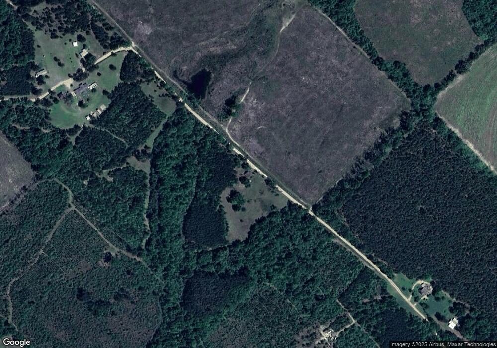
This home is located at 79 Harrell Loop Rd, Rhine, GA 31077 and is currently estimated at $116,959, approximately $129 per square foot. 79 Harrell Loop Rd is a home with nearby schools including Telfair County Elementary School, Telfair County Middle School, and Telfair County High School.
Ownership History
Date
Name
Owned For
Owner Type
Purchase Details
Closed on
Oct 27, 2019
Sold by
Wilson Judy
Bought by
Roberts Arthur G and Roberts Lonnie E
Current Estimated Value
Purchase Details
Closed on
Jan 30, 2015
Sold by
Banks Cynthia D
Bought by
Roberts Arthur G and Roberts Lonnie E
Purchase Details
Closed on
Dec 2, 2014
Sold by
Harrell Alma Jean
Bought by
Roberts Arthur G and Banks Cynthia D
Purchase Details
Closed on
Nov 19, 1998
Sold by
Harrell John R
Bought by
Harrell John R and Harrell Alm
Create a Home Valuation Report for This Property
The Home Valuation Report is an in-depth analysis detailing your home's value as well as a comparison with similar homes in the area
Purchase History
| Date | Buyer | Sale Price | Title Company |
|---|---|---|---|
| Roberts Arthur G | $3,000 | -- | |
| Roberts Arthur G | -- | -- | |
| Roberts Arthur G | -- | -- | |
| Harrell John R | -- | -- |
Source: Public Records
Tax History
| Year | Tax Paid | Tax Assessment Tax Assessment Total Assessment is a certain percentage of the fair market value that is determined by local assessors to be the total taxable value of land and additions on the property. | Land | Improvement |
|---|---|---|---|---|
| 2024 | $706 | $23,728 | $11,992 | $11,736 |
| 2023 | $681 | $22,866 | $11,634 | $11,232 |
| 2022 | $681 | $22,866 | $11,634 | $11,232 |
| 2021 | $588 | $18,785 | $11,067 | $7,718 |
| 2020 | $566 | $17,791 | $11,067 | $6,724 |
| 2019 | $588 | $18,377 | $11,067 | $7,310 |
| 2018 | $506 | $15,741 | $11,067 | $4,674 |
| 2017 | $500 | $18,176 | $9,842 | $8,334 |
| 2016 | $500 | $15,688 | $9,842 | $5,846 |
| 2015 | -- | $15,688 | $9,842 | $5,846 |
| 2014 | -- | $15,374 | $9,382 | $5,992 |
| 2013 | -- | $15,374 | $9,382 | $5,992 |
Source: Public Records
Map
Nearby Homes
- 1533 W River Rd
- 0 Marchants Dairy Rd
- Lot 38 Crestview Rd
- Tract 2 Kinnett Rd
- Tract 1 Kinnett Rd
- Tract 7 Kinnett Rd
- 0 Harmony Church Rd Unit 26175074
- 0 River Rd
- 568 Hopewell Church Rd
- 68 Sand Ridge Rd
- Tract 6 United Church Rd
- Tract 8 United Church Rd
- 0 United Church Rd
- 65 Central St
- 101 4th St
- 0 Harmony Ln Unit 10662327
- 644 Ashe-Harrell Loop
- 152 Seaweed Rd
- 2937 Walker Rd
- 115 City Road 191
Your Personal Tour Guide
Ask me questions while you tour the home.
