Estimated Value: $874,000 - $1,060,000
4
Beds
3
Baths
2,459
Sq Ft
$387/Sq Ft
Est. Value
About This Home
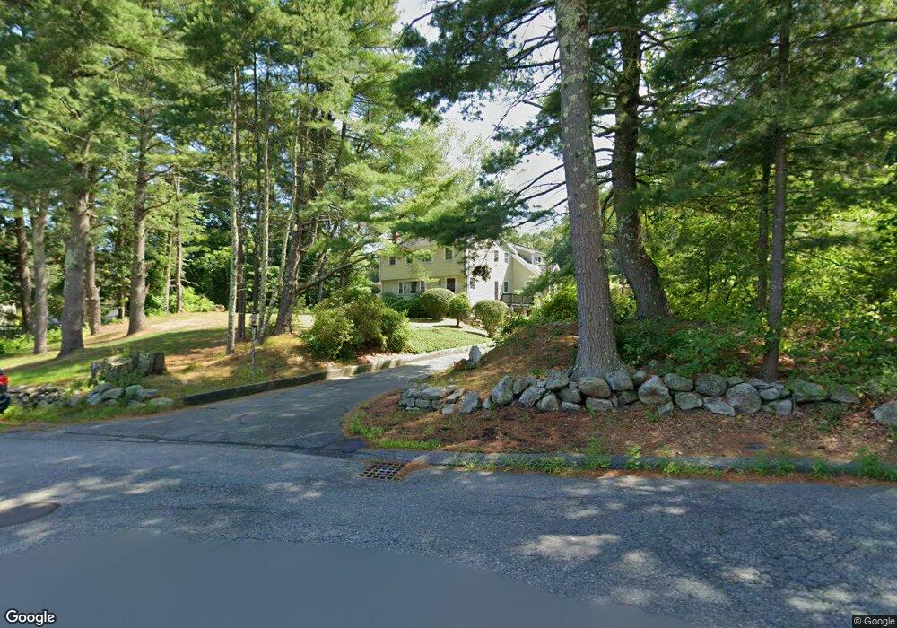
This home is located at 79 Harris St, Acton, MA 01720 and is currently estimated at $950,632, approximately $386 per square foot. 79 Harris St is a home located in Middlesex County with nearby schools including Acton-Boxborough Regional High School and Oak Meadow Montessori School.
Ownership History
Date
Name
Owned For
Owner Type
Purchase Details
Closed on
Apr 17, 1992
Sold by
Cochrane Irene F
Bought by
Jarostchuk Alexander and Jarostchuk Lena
Current Estimated Value
Create a Home Valuation Report for This Property
The Home Valuation Report is an in-depth analysis detailing your home's value as well as a comparison with similar homes in the area
Home Values in the Area
Average Home Value in this Area
Purchase History
| Date | Buyer | Sale Price | Title Company |
|---|---|---|---|
| Jarostchuk Alexander | $182,000 | -- |
Source: Public Records
Mortgage History
| Date | Status | Borrower | Loan Amount |
|---|---|---|---|
| Open | Jarostchuk Alexander | $275,000 | |
| Closed | Jarostchuk Alexander | $285,000 | |
| Closed | Jarostchuk Alexander | $129,000 |
Source: Public Records
Tax History
| Year | Tax Paid | Tax Assessment Tax Assessment Total Assessment is a certain percentage of the fair market value that is determined by local assessors to be the total taxable value of land and additions on the property. | Land | Improvement |
|---|---|---|---|---|
| 2025 | $13,459 | $784,800 | $291,200 | $493,600 |
| 2024 | $12,559 | $753,400 | $291,200 | $462,200 |
| 2023 | $12,485 | $711,000 | $264,900 | $446,100 |
| 2022 | $11,800 | $606,700 | $230,100 | $376,600 |
| 2021 | $11,527 | $569,800 | $213,100 | $356,700 |
| 2020 | $10,867 | $564,800 | $213,100 | $351,700 |
| 2019 | $10,346 | $534,100 | $213,100 | $321,000 |
| 2018 | $10,155 | $524,000 | $213,100 | $310,900 |
| 2017 | $10,060 | $527,800 | $213,100 | $314,700 |
| 2016 | $9,852 | $512,300 | $213,100 | $299,200 |
| 2015 | $9,660 | $507,100 | $213,100 | $294,000 |
| 2014 | $9,309 | $478,600 | $213,100 | $265,500 |
Source: Public Records
Map
Nearby Homes
- 390 Great Rd Unit B16
- 388 Great Rd Unit A9
- 388 Great Rd Unit B14
- 386 Great Rd Unit A8
- 420 Great Rd Unit B3
- 380A Great Rd Unit 301
- 380 Great Rd Unit B301
- 5 Samantha Way Unit 5
- 11 Walnut St
- 11 Davis Rd Unit A5
- 15 Davis Rd Unit B-8
- 159 Skyline Dr Unit 159
- 405 Great Elm Way
- 262 Brown Bear Crossing Unit 262
- 87 Canterbury Hill Rd
- 237 Brown Bear Crossing Unit 237
- 238 Brown Bear Crossing Unit 238
- 927 Main St
- 2 Duston Ln
- 524 Main St
- 750 Main St
- 746 Main St
- 77 Harris St
- 1 Monument Place
- 1 Monument Place Unit 1
- 2 Monument Place Unit 2
- 2 Monument Place Unit 1
- 3 Monument Place
- 6 Monument Place
- 6 Monument Place Unit 3
- 6 Monument Place Unit 6
- 75 Harris St
- 5 Monument Place Unit 5
- 751 Main St
- 8 Monument Place Unit 8
- 766 Main St
- 760 Main St
- 7 Monument Place Unit 7
- 10 Monument Place Unit 10
- 764 Main St
Your Personal Tour Guide
Ask me questions while you tour the home.