79 Hawks Nest Rd Mannington, WV 26582
Estimated Value: $137,000 - $190,729
3
Beds
2
Baths
1,624
Sq Ft
$100/Sq Ft
Est. Value
About This Home
This home is located at 79 Hawks Nest Rd, Mannington, WV 26582 and is currently estimated at $161,682, approximately $99 per square foot. 79 Hawks Nest Rd is a home with nearby schools including Blackshere Elementary School, Mannington Middle School, and North Marion High School.
Ownership History
Date
Name
Owned For
Owner Type
Purchase Details
Closed on
Oct 7, 2024
Sold by
Lucas Shirley L and Cyphers Barbara Jo
Bought by
Reed Natalie and Reed John
Current Estimated Value
Purchase Details
Closed on
Sep 20, 2021
Sold by
Cyphers Michael and Cyphers Barbara Jo
Bought by
Stalnaker Mary Diane
Purchase Details
Closed on
Oct 26, 2020
Sold by
Cyphers Michael and Cyphers Barbara Jo
Bought by
Cyphers Michael and Cyphers Barbara Jo
Home Financials for this Owner
Home Financials are based on the most recent Mortgage that was taken out on this home.
Original Mortgage
$90,000
Interest Rate
2.9%
Mortgage Type
New Conventional
Create a Home Valuation Report for This Property
The Home Valuation Report is an in-depth analysis detailing your home's value as well as a comparison with similar homes in the area
Home Values in the Area
Average Home Value in this Area
Purchase History
| Date | Buyer | Sale Price | Title Company |
|---|---|---|---|
| Reed Natalie | -- | None Listed On Document | |
| Stalnaker Mary Diane | -- | None Available | |
| Cyphers Michael | -- | None Available |
Source: Public Records
Mortgage History
| Date | Status | Borrower | Loan Amount |
|---|---|---|---|
| Previous Owner | Cyphers Michael | $90,000 |
Source: Public Records
Tax History Compared to Growth
Tax History
| Year | Tax Paid | Tax Assessment Tax Assessment Total Assessment is a certain percentage of the fair market value that is determined by local assessors to be the total taxable value of land and additions on the property. | Land | Improvement |
|---|---|---|---|---|
| 2025 | $1,056 | $84,960 | $13,320 | $71,640 |
| 2024 | $1,056 | $83,040 | $13,320 | $69,720 |
| 2023 | $1,021 | $80,100 | $13,320 | $66,780 |
| 2022 | $963 | $77,820 | $13,320 | $64,500 |
| 2021 | $1,554 | $147,090 | $52,890 | $94,200 |
| 2020 | $1,455 | $138,410 | $48,170 | $90,240 |
| 2019 | $1,417 | $133,320 | $50,760 | $82,560 |
| 2018 | $1,301 | $124,840 | $50,380 | $74,460 |
| 2017 | $1,223 | $119,570 | $46,430 | $73,140 |
| 2016 | $555 | $63,240 | $40,020 | $23,220 |
| 2015 | $447 | $64,580 | $40,020 | $24,560 |
| 2014 | $447 | $56,140 | $31,920 | $24,220 |
Source: Public Records
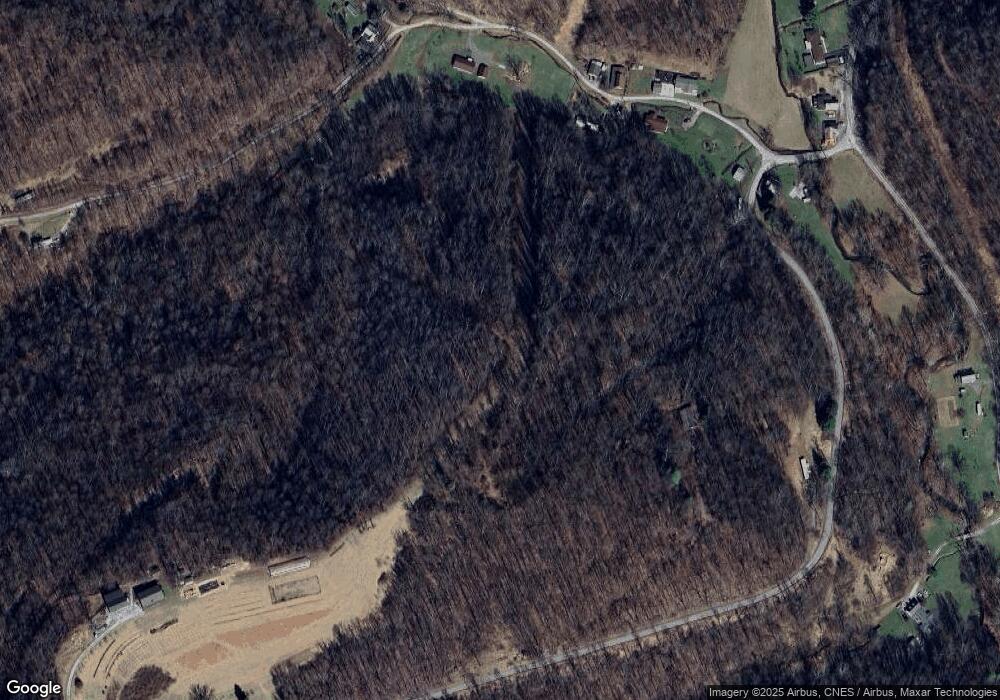
Map
Nearby Homes
- 2869 Odells Knob Rd
- Lot 2 E Run Cir
- Tbd Long Run Rd
- 5007 Freedom Hwy
- 221 Meadow Ave
- 1008 E Main St
- TBD Brush Run
- 250 Main St
- 74 Long Meadow Ln
- TBD Helens Run Rd
- 00 Helens Run Rd
- TBD Highland St
- 0 Marshall St
- 300 Adams St
- 63 Broomfield St
- 90 W Enterprise Rd
- 403 James St
- 65 N Walnut St
- 822 Hood Ave
- 413 W Main St
- 30 Hawks Nest Rd
- 108 Hawks Nest Rd
- 67 Browns Run Rd
- 33 Hawks Nest Rd
- 2286 Flaggy Meadow Rd
- 2300 Flaggy Meadow Rd
- 2242 Flaggy Meadow Rd
- 2264 Flaggy Meadow Rd
- 1391 Wyatt Rd
- 926 Festus Ridge Rd
- 2198 Flaggy Meadow Rd
- 2180 Flaggy Meadow Rd
- 1753 Bingamon Rd
- 2130 Flaggy Meadow Rd
- 1721 Bingamon Rd
- 1317 Wyatt Rd
- 1713 Bingamon Rd
- 4 States Rd
- 60 Lost Way
- 1683 Bingamon Rd