79 Hemmelskamp Rd Wilton, CT 06897
Estimated Value: $1,582,000 - $1,823,000
4
Beds
3
Baths
3,716
Sq Ft
$448/Sq Ft
Est. Value
About This Home
This home is located at 79 Hemmelskamp Rd, Wilton, CT 06897 and is currently estimated at $1,665,252, approximately $448 per square foot. 79 Hemmelskamp Rd is a home located in Fairfield County with nearby schools including Miller-Driscoll School, Cider Mill School, and Middlebrook School.
Ownership History
Date
Name
Owned For
Owner Type
Purchase Details
Closed on
Mar 10, 2016
Sold by
Lawrence Alicia A
Bought by
Lawrence Alicia A
Current Estimated Value
Purchase Details
Closed on
Mar 18, 2010
Sold by
Quigley Elizabeth
Bought by
Lawrence Scott P and Lawrence Alicia A
Purchase Details
Closed on
May 4, 1994
Sold by
Multi I Unionoreo Inc
Bought by
Mccarthy Susan and Bates Stephen
Create a Home Valuation Report for This Property
The Home Valuation Report is an in-depth analysis detailing your home's value as well as a comparison with similar homes in the area
Home Values in the Area
Average Home Value in this Area
Purchase History
| Date | Buyer | Sale Price | Title Company |
|---|---|---|---|
| Lawrence Alicia A | -- | -- | |
| Lawrence Alicia A | -- | -- | |
| Lawrence Scott P | $1,185,000 | -- | |
| Mccarthy Susan | $200,000 | -- |
Source: Public Records
Mortgage History
| Date | Status | Borrower | Loan Amount |
|---|---|---|---|
| Open | Mccarthy Susan | $676,000 | |
| Previous Owner | Mccarthy Susan | $700,000 |
Source: Public Records
Tax History
| Year | Tax Paid | Tax Assessment Tax Assessment Total Assessment is a certain percentage of the fair market value that is determined by local assessors to be the total taxable value of land and additions on the property. | Land | Improvement |
|---|---|---|---|---|
| 2025 | $24,147 | $989,240 | $326,550 | $662,690 |
| 2024 | $24,519 | $1,024,170 | $349,020 | $675,150 |
| 2023 | $21,561 | $736,890 | $319,830 | $417,060 |
| 2022 | $20,802 | $736,890 | $319,830 | $417,060 |
| 2021 | $8,985 | $736,890 | $319,830 | $417,060 |
| 2020 | $8,767 | $736,890 | $319,830 | $417,060 |
| 2019 | $8,443 | $736,890 | $319,830 | $417,060 |
| 2018 | $20,335 | $721,350 | $343,350 | $378,000 |
| 2017 | $8,486 | $721,350 | $343,350 | $378,000 |
| 2016 | $19,722 | $721,350 | $343,350 | $378,000 |
| 2015 | $19,061 | $710,430 | $343,350 | $367,080 |
| 2014 | $18,900 | $712,950 | $354,340 | $358,610 |
Source: Public Records
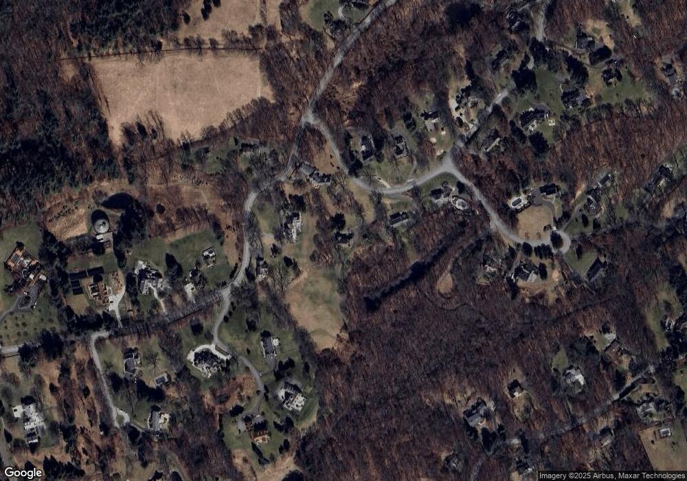
Map
Nearby Homes
- 221 Catalpa Rd
- 330 Ridgefield Rd
- 33 Middlebrook Farm Rd
- 475 Danbury Rd
- 349 Mountain Rd
- 20 Pheasant Run Rd
- 109 Signal Hill Rd
- 88 Drum Hill Rd
- 38 Honey Hill Rd
- 78 Pin Oak Ln
- 25 Powder Horn Hill Rd
- 55 Tanners Dr
- 178 Linden Tree Rd
- 14 Tanners Dr
- 26 Ledgewood Dr
- 15 River Rd Unit STE 210
- 45 Ledgewood Dr
- 131 Indian Hill Rd
- 360 Thayer Pond Rd
- 00 Old Mill Rd
- 147 Olmstead Hill Rd
- 167 Olmstead Hill Rd
- 80 Hemmelskamp Rd
- 75 Hemmelskamp Rd
- 143 Olmstead Hill Rd
- 70 Hemmelskamp Rd
- 11 Surrey Glen
- 133 Olmstead Hill Rd
- 134 Olmstead Hill Rd
- 19 Surrey Glen
- 67 Hemmelskamp Rd
- 62 Hemmelskamp Rd
- 131 Olmstead Hill Rd
- 56 Hemmelskamp Rd
- 21 Surrey Glen
- 135 Olmstead Hill Rd
- 126 Olmstead Hill Rd
- 233 Catalpa Rd
- 18 Surrey Glen
- 227 Catalpa Rd
Your Personal Tour Guide
Ask me questions while you tour the home.