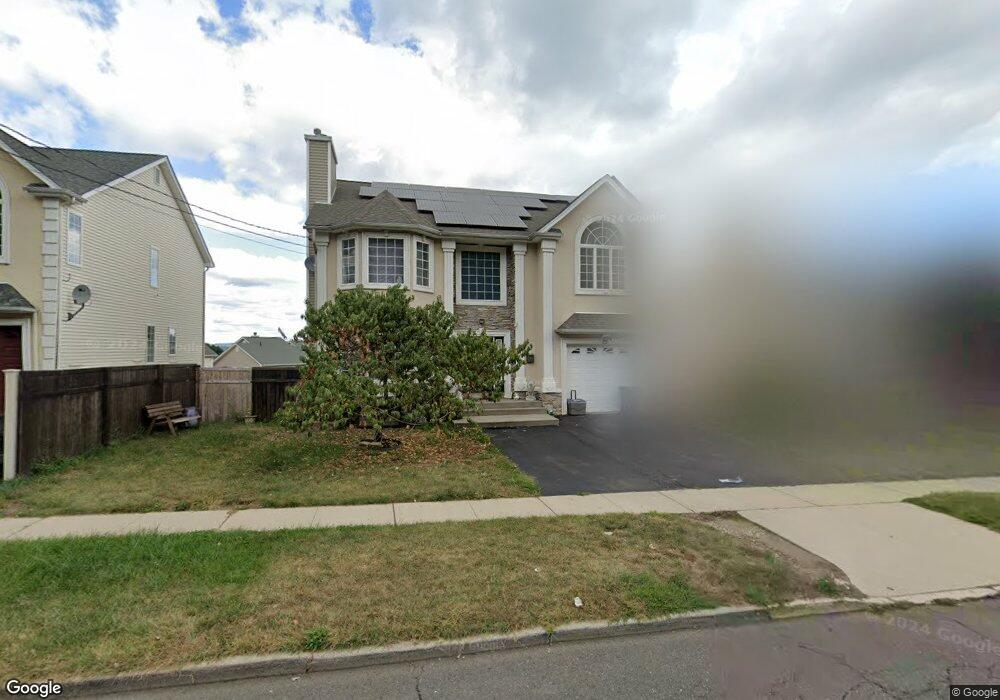
79 Hudson Ave Haverstraw, NY 10927
Estimated Value: $654,000 - $786,000
4
Beds
3
Baths
2,524
Sq Ft
$276/Sq Ft
Est. Value
About This Home
This home is located at 79 Hudson Ave, Haverstraw, NY 10927 and is currently estimated at $697,809, approximately $276 per square foot. 79 Hudson Ave is a home located in Rockland County with nearby schools including Haverstraw Elementary School, West Haverstraw Elementary School, and Fieldstone Secondary School.
Ownership History
Date
Name
Owned For
Owner Type
Purchase Details
Closed on
May 3, 2007
Sold by
Wales Corley Roseland Corp
Bought by
Embola Carl and Embola Martha
Current Estimated Value
Home Financials for this Owner
Home Financials are based on the most recent Mortgage that was taken out on this home.
Original Mortgage
$460,464
Interest Rate
8.12%
Mortgage Type
Purchase Money Mortgage
Purchase Details
Closed on
Mar 28, 2007
Sold by
Wales Corley Roseland Corp
Bought by
Resto Milokssy
Home Financials for this Owner
Home Financials are based on the most recent Mortgage that was taken out on this home.
Original Mortgage
$460,464
Interest Rate
8.12%
Mortgage Type
Purchase Money Mortgage
Purchase Details
Closed on
May 30, 2003
Sold by
S S A Construction Corp
Bought by
Wales Corley Roseland Corp
Create a Home Valuation Report for This Property
The Home Valuation Report is an in-depth analysis detailing your home's value as well as a comparison with similar homes in the area
Home Values in the Area
Average Home Value in this Area
Purchase History
| Date | Buyer | Sale Price | Title Company |
|---|---|---|---|
| Embola Carl | $575,580 | None Available | |
| Resto Milokssy | $572,450 | Fidelity Natl Title Ins Co | |
| Wales Corley Roseland Corp | $1,100,000 | -- |
Source: Public Records
Mortgage History
| Date | Status | Borrower | Loan Amount |
|---|---|---|---|
| Previous Owner | Embola Carl | $460,464 | |
| Previous Owner | Resto Milokssy | $417,000 |
Source: Public Records
Tax History Compared to Growth
Tax History
| Year | Tax Paid | Tax Assessment Tax Assessment Total Assessment is a certain percentage of the fair market value that is determined by local assessors to be the total taxable value of land and additions on the property. | Land | Improvement |
|---|---|---|---|---|
| 2024 | $78,140 | $283,500 | $100,000 | $183,500 |
| 2023 | $78,140 | $283,500 | $100,000 | $183,500 |
| 2022 | $73,951 | $283,500 | $100,000 | $183,500 |
| 2021 | $70,391 | $283,500 | $100,000 | $183,500 |
| 2020 | $15,394 | $283,500 | $100,000 | $183,500 |
| 2019 | $3,162 | $283,500 | $100,000 | $183,500 |
| 2018 | $14,955 | $283,500 | $100,000 | $183,500 |
| 2017 | $15,413 | $283,500 | $100,000 | $183,500 |
| 2016 | $17,735 | $338,600 | $100,000 | $238,600 |
| 2015 | -- | $338,600 | $100,000 | $238,600 |
| 2014 | -- | $338,600 | $100,000 | $238,600 |
Source: Public Records
Map
Nearby Homes
- 9 W Lincoln St
- 60 Hudson Ave
- 59 Hudson Ave
- 9 Hillside Ave
- 27 Conger Ave
- 20 W Broad St
- 24 Partition St
- 37 Conklin Ave
- 127 Hudson Ave
- 25 Fourth St
- 112 Clove Ave
- 5 Coyne Dr
- 68 Hillside Ave
- 31 Spring St
- 84 Village Mill Unit 84
- 63 Westside Ave
- 165 Gurnee Ave
- 1207 Round Pointe Dr
- 1308 Round Pointe Dr Unit 1308
- 1320 Round Pointe Dr