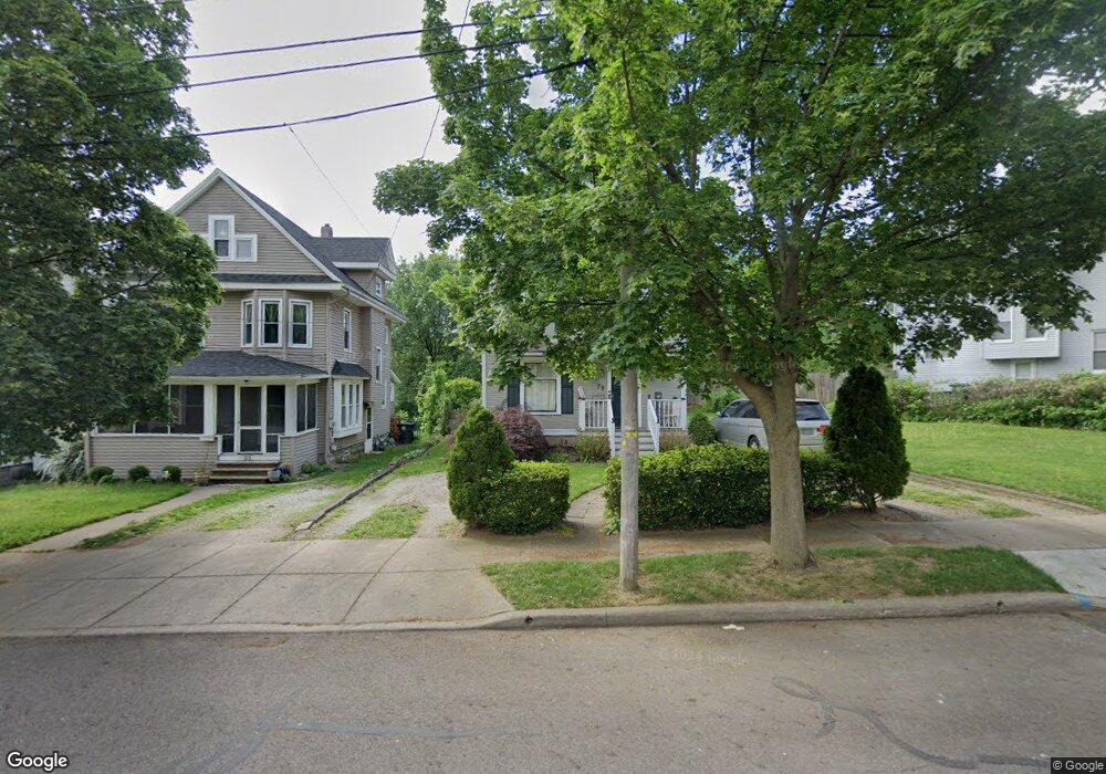
79 Hurlburt Ave Akron, OH 44303
West Hill NeighborhoodEstimated Value: $135,832 - $184,000
3
Beds
2
Baths
1,430
Sq Ft
$111/Sq Ft
Est. Value
About This Home
This home is located at 79 Hurlburt Ave, Akron, OH 44303 and is currently estimated at $158,208, approximately $110 per square foot. 79 Hurlburt Ave is a home located in Summit County with nearby schools including King Community Learning Center, Towpath Trail High School, and St. Vincent Elementary School.
Ownership History
Date
Name
Owned For
Owner Type
Purchase Details
Closed on
Aug 10, 2000
Sold by
Burkhalter Jennifer L and Burkhalter Jennifer L
Bought by
Daniels Jamie and Daniels Jennifer L
Current Estimated Value
Home Financials for this Owner
Home Financials are based on the most recent Mortgage that was taken out on this home.
Original Mortgage
$25,000
Interest Rate
8.16%
Create a Home Valuation Report for This Property
The Home Valuation Report is an in-depth analysis detailing your home's value as well as a comparison with similar homes in the area
Home Values in the Area
Average Home Value in this Area
Purchase History
| Date | Buyer | Sale Price | Title Company |
|---|---|---|---|
| Daniels Jamie | -- | Tower City Title Agency Inc |
Source: Public Records
Mortgage History
| Date | Status | Borrower | Loan Amount |
|---|---|---|---|
| Closed | Daniels Jamie | $25,000 |
Source: Public Records
Tax History
| Year | Tax Paid | Tax Assessment Tax Assessment Total Assessment is a certain percentage of the fair market value that is determined by local assessors to be the total taxable value of land and additions on the property. | Land | Improvement |
|---|---|---|---|---|
| 2024 | $2,442 | $42,739 | $12,551 | $30,188 |
| 2023 | $2,442 | $42,739 | $12,551 | $30,188 |
| 2022 | $2,412 | $33,131 | $9,730 | $23,401 |
| 2021 | $2,414 | $33,131 | $9,730 | $23,401 |
| 2020 | $2,101 | $28,780 | $5,380 | $23,400 |
| 2019 | $1,649 | $20,450 | $5,380 | $15,070 |
| 2018 | $1,571 | $20,450 | $5,380 | $15,070 |
| 2017 | $1,595 | $20,450 | $5,380 | $15,070 |
| 2016 | $1,596 | $20,450 | $5,380 | $15,070 |
| 2015 | $1,595 | $20,450 | $5,380 | $15,070 |
| 2014 | $1,583 | $20,450 | $5,380 | $15,070 |
| 2013 | $1,554 | $20,470 | $5,380 | $15,090 |
Source: Public Records
Map
Nearby Homes
- 557 Weber Ave
- 462 Hickory St
- 105 Westwood Ave
- 87 Hawthorne Ave
- 114 Beck Ave
- 295 Grove St
- 205 Edgerton Rd
- 732 Buckeye Dr
- 428 Aqueduct St
- 212 Gale St
- Plot A Weber Ave
- Plot B Weber Ave
- 699 W Exchange St
- 262 S Portage Path
- 467 Aqueduct St
- 444 Evers St
- 127 Hollinger Ave
- 836 Carnation Ct
- 141 Grand Ave
- 425 Spaulding St
- 83 Hurlburt Ave
- 75 Hurlburt Ave
- 67 Hurlburt Ave
- 87 Hurlburt Ave
- 112 Aqueduct St
- 63 Hurlburt Ave
- 66 N Balch St
- 68 N Balch St
- 59 Hurlburt Ave
- 80 Hurlburt Ave
- 86 Hurlburt Ave
- 62 N Balch St
- 76 Hurlburt Ave
- 53 Hurlburt Ave
- 68 Hurlburt Ave
- 525 Stratford Ave
- 64 Hurlburt Ave
- 152 Aqueduct St
- 60 Hurlburt Ave
- 63 65 N Balch St
Your Personal Tour Guide
Ask me questions while you tour the home.