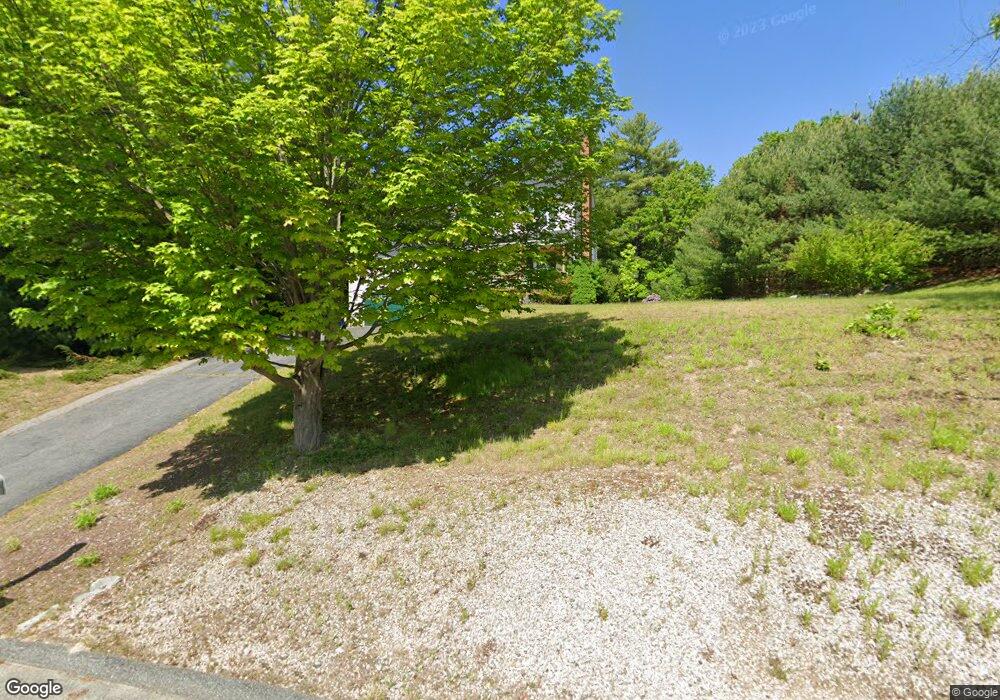
79 Lake St Uxbridge, MA 01569
Estimated Value: $544,000 - $654,000
3
Beds
3
Baths
1,644
Sq Ft
$358/Sq Ft
Est. Value
About This Home
This home is located at 79 Lake St, Uxbridge, MA 01569 and is currently estimated at $589,182, approximately $358 per square foot. 79 Lake St is a home located in Worcester County with nearby schools including Uxbridge High School, Whitinsville Christian School, and Our Lady of the Valley Regional School.
Ownership History
Date
Name
Owned For
Owner Type
Purchase Details
Closed on
Jun 4, 2007
Sold by
Fancher Laura and Fancher Thomas J
Bought by
Gnatek David and Hillgardner Sharley
Current Estimated Value
Home Financials for this Owner
Home Financials are based on the most recent Mortgage that was taken out on this home.
Original Mortgage
$276,800
Outstanding Balance
$169,831
Interest Rate
6.24%
Mortgage Type
Purchase Money Mortgage
Estimated Equity
$419,351
Purchase Details
Closed on
Jan 30, 2002
Sold by
Coughlin John K
Bought by
Fancher Thomas J and Fancher Laura
Purchase Details
Closed on
Feb 17, 1998
Sold by
Kronmiller Carl G and Kronmiller Marie O
Bought by
Coughlin John K and Coughlin Lisa M
Purchase Details
Closed on
Mar 3, 1997
Sold by
Dima Rozalyn L and Moulison David C
Bought by
Kronmiller Carl G and Kronmiller Marie O
Purchase Details
Closed on
Apr 12, 1993
Sold by
Blackstone Chicago Co
Bought by
Moulison David C and Dima Rozalyn
Create a Home Valuation Report for This Property
The Home Valuation Report is an in-depth analysis detailing your home's value as well as a comparison with similar homes in the area
Home Values in the Area
Average Home Value in this Area
Purchase History
| Date | Buyer | Sale Price | Title Company |
|---|---|---|---|
| Gnatek David | $346,000 | -- | |
| Fancher Thomas J | $260,000 | -- | |
| Coughlin John K | $159,900 | -- | |
| Kronmiller Carl G | $155,500 | -- | |
| Moulison David C | $104,040 | -- |
Source: Public Records
Mortgage History
| Date | Status | Borrower | Loan Amount |
|---|---|---|---|
| Open | Gnatek David | $276,800 | |
| Previous Owner | Moulison David C | $207,000 | |
| Previous Owner | Moulison David C | $49,000 |
Source: Public Records
Tax History Compared to Growth
Tax History
| Year | Tax Paid | Tax Assessment Tax Assessment Total Assessment is a certain percentage of the fair market value that is determined by local assessors to be the total taxable value of land and additions on the property. | Land | Improvement |
|---|---|---|---|---|
| 2025 | $55 | $417,100 | $151,900 | $265,200 |
| 2024 | $5,182 | $401,100 | $144,100 | $257,000 |
| 2023 | $4,940 | $354,100 | $124,600 | $229,500 |
| 2022 | $4,515 | $297,800 | $109,000 | $188,800 |
| 2021 | $4,675 | $295,500 | $106,700 | $188,800 |
| 2020 | $4,726 | $282,300 | $105,100 | $177,200 |
| 2019 | $4,707 | $271,300 | $105,100 | $166,200 |
| 2018 | $4,579 | $266,700 | $105,100 | $161,600 |
| 2017 | $4,179 | $246,400 | $103,200 | $143,200 |
| 2016 | $4,224 | $240,400 | $93,400 | $147,000 |
| 2015 | $4,138 | $237,800 | $93,400 | $144,400 |
Source: Public Records
Map
Nearby Homes
- 75 Lake St
- 50 Carrington Ln
- 0 Louis St
- 4 Strathmore Shire Dr Unit B
- 3 Strathmore Shire Unit A
- 237 Heritage Dr Unit 237
- 240 Heritage Dr
- 129 Elm St Unit Lot 7
- 307 N Main St
- 36 Elm St
- 71 Rivulet St Unit B
- 0 Homestead Ave
- 125 Saint Andre Dr
- 235 Rivulet St
- 99 Country Club Dr
- 13 Blanchard Ave
- 831 Providence Rd Unit 837
- 20 Nature View Dr Unit 20
- 24 Olde Canal Way Unit 24
- 7 Jefferson Ct Unit 7