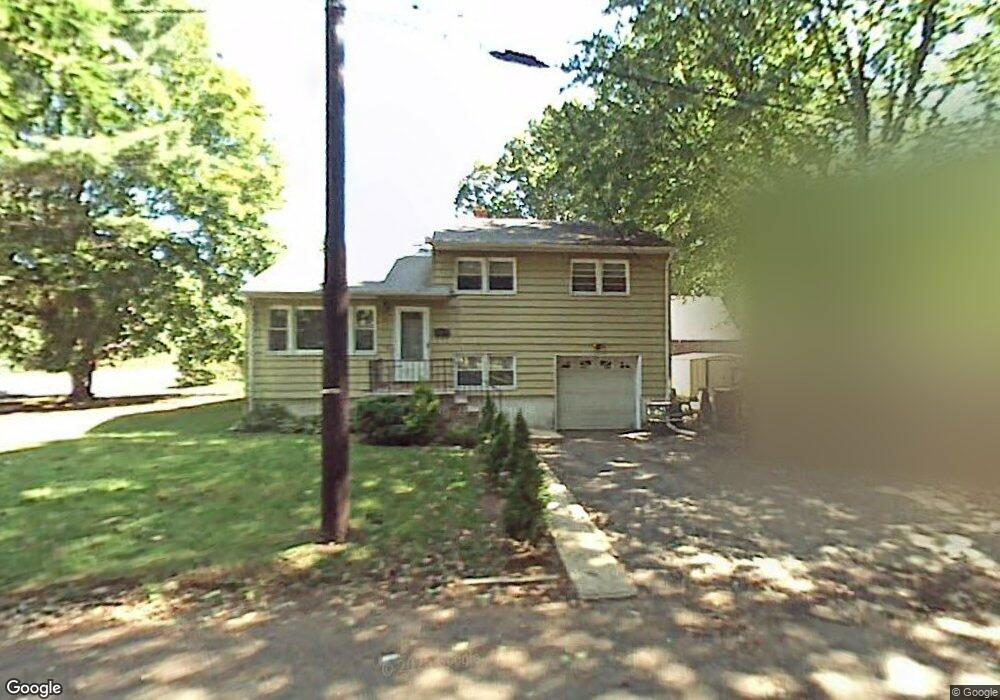
79 Laramie Rd Unit 83 Plainfield, NJ 07060
Estimated Value: $432,859 - $490,000
Studio
--
Bath
1,320
Sq Ft
$355/Sq Ft
Est. Value
About This Home
This home is located at 79 Laramie Rd Unit 83, Plainfield, NJ 07060 and is currently estimated at $468,465, approximately $354 per square foot. 79 Laramie Rd Unit 83 is a home located in Union County with nearby schools including Cedarbrook K-8 Center, Hubbard Middle School, and Plainfield High School.
Ownership History
Date
Name
Owned For
Owner Type
Purchase Details
Closed on
Aug 11, 1997
Sold by
Gillette Vemal C and Gillette Deborah Annette
Bought by
Smith Sheryl D and Gillette Wayne
Current Estimated Value
Purchase Details
Closed on
Mar 31, 1982
Bought by
Smith Sheryl D - Gillette Wayne
Create a Home Valuation Report for This Property
The Home Valuation Report is an in-depth analysis detailing your home's value as well as a comparison with similar homes in the area
Home Values in the Area
Average Home Value in this Area
Purchase History
| Date | Buyer | Sale Price | Title Company |
|---|---|---|---|
| Smith Sheryl D | $90,000 | -- | |
| Smith Sheryl D - Gillette Wayne | $25,000 | -- |
Source: Public Records
Tax History
| Year | Tax Paid | Tax Assessment Tax Assessment Total Assessment is a certain percentage of the fair market value that is determined by local assessors to be the total taxable value of land and additions on the property. | Land | Improvement |
|---|---|---|---|---|
| 2025 | $9,099 | $104,200 | $34,900 | $69,300 |
| 2024 | $9,009 | $104,200 | $34,900 | $69,300 |
| 2023 | $9,009 | $104,200 | $34,900 | $69,300 |
| 2022 | $8,814 | $104,200 | $34,900 | $69,300 |
| 2021 | $8,737 | $104,200 | $34,900 | $69,300 |
| 2020 | $8,712 | $104,200 | $34,900 | $69,300 |
| 2019 | $8,712 | $104,200 | $34,900 | $69,300 |
| 2018 | $8,530 | $104,200 | $34,900 | $69,300 |
| 2017 | $8,321 | $104,200 | $34,900 | $69,300 |
| 2016 | $8,152 | $104,200 | $34,900 | $69,300 |
| 2015 | $7,911 | $104,200 | $34,900 | $69,300 |
| 2014 | -- | $104,200 | $34,900 | $69,300 |
Source: Public Records
Map
Nearby Homes
- 1209 Arlington Ave Unit B
- 1209 Rose St Unit 13
- 1065 Rose St Unit 69
- 78-80 Parkside Rd
- 1136 Hillside Ave
- 1369 Florence Ave Unit 73
- 957 Central Ave Unit 63
- 944 Madison Ave Unit 46
- 1365 Marlborough Ave
- 1039-41 Field Ave
- 1039 Field Ave Unit 41
- 1454 S End Pkwy Unit 56
- 911 13 Plainfield Ave
- 911 Plainfield Ave Unit 13
- 966 Hillside Ave Unit 76
- 1712 Kenyon Ave
- 1716 Kenyon Ave
- 720 Madison Ave Unit 22
- 1200-06 Watchung Ave
- 614-34 W 8th St Unit 15
- 75 Laramie Rd Unit 77
- 1275 Arlington Ave Unit 77
- 73 Laramie Rd
- 69-71 Laramie Rd
- 69 Laramie Rd Unit 71
- 1279-81 Arlington Ave
- 1254 Arlington Ave Unit 60
- 1257 Arlington Ave Unit 59
- 1257-59 Arlington Ave
- 67 Laramie Rd
- 1283 Arlington Ave Unit 85
- 1250 Cameron Ave Unit 52
- 1252 Cameron Ave
- 65 Laramie Rd
- 1246 Cameron Ave Unit 48
- 1287 Arlington Ave
- 61 Laramie Rd Unit 63
- 1247 Arlington Ave Unit 1255
- 1247-1255 Arlington Ave
- 1242 Cameron Ave Unit 44
Your Personal Tour Guide
Ask me questions while you tour the home.