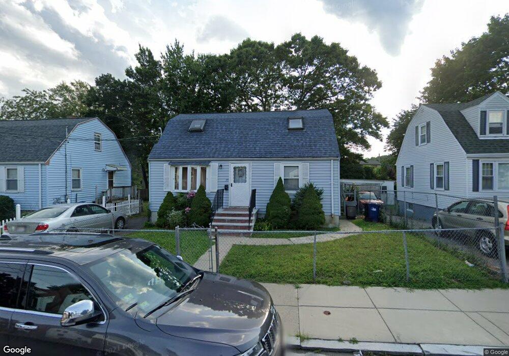
79 Lewiston St Hyde Park, MA 02136
Hyde Park NeighborhoodEstimated Value: $587,000 - $615,000
4
Beds
3
Baths
1,317
Sq Ft
$460/Sq Ft
Est. Value
About This Home
This home is located at 79 Lewiston St, Hyde Park, MA 02136 and is currently estimated at $605,685, approximately $459 per square foot. 79 Lewiston St is a home located in Suffolk County with nearby schools including Boston Preparatory Charter Public School and New Beginnings Academy.
Ownership History
Date
Name
Owned For
Owner Type
Purchase Details
Closed on
Oct 28, 1991
Sold by
Fnma
Bought by
Cazeau Jean C and Cazeau Carline
Current Estimated Value
Home Financials for this Owner
Home Financials are based on the most recent Mortgage that was taken out on this home.
Original Mortgage
$69,700
Interest Rate
8.98%
Mortgage Type
Purchase Money Mortgage
Purchase Details
Closed on
Aug 1, 1991
Sold by
Johnson Wayne M and 1St Colonial Mtg
Bought by
First Colonial Mtg
Create a Home Valuation Report for This Property
The Home Valuation Report is an in-depth analysis detailing your home's value as well as a comparison with similar homes in the area
Home Values in the Area
Average Home Value in this Area
Purchase History
| Date | Buyer | Sale Price | Title Company |
|---|---|---|---|
| Cazeau Jean C | $82,000 | -- | |
| First Colonial Mtg | $95,202 | -- |
Source: Public Records
Mortgage History
| Date | Status | Borrower | Loan Amount |
|---|---|---|---|
| Closed | First Colonial Mtg | $69,000 | |
| Closed | First Colonial Mtg | $69,700 | |
| Previous Owner | First Colonial Mtg | $14,000 |
Source: Public Records
Tax History
| Year | Tax Paid | Tax Assessment Tax Assessment Total Assessment is a certain percentage of the fair market value that is determined by local assessors to be the total taxable value of land and additions on the property. | Land | Improvement |
|---|---|---|---|---|
| 2025 | $5,715 | $493,500 | $193,800 | $299,700 |
| 2024 | $5,753 | $527,800 | $194,100 | $333,700 |
| 2023 | $5,296 | $493,100 | $181,300 | $311,800 |
| 2022 | $4,969 | $456,700 | $167,900 | $288,800 |
| 2021 | $4,396 | $412,000 | $155,500 | $256,500 |
| 2020 | $3,973 | $376,200 | $149,300 | $226,900 |
| 2019 | $3,778 | $358,400 | $123,200 | $235,200 |
| 2018 | $3,577 | $341,300 | $123,200 | $218,100 |
| 2017 | $3,286 | $310,300 | $123,200 | $187,100 |
| 2016 | $3,346 | $304,200 | $123,200 | $181,000 |
| 2015 | $2,991 | $247,000 | $103,000 | $144,000 |
| 2014 | $3,087 | $245,400 | $103,000 | $142,400 |
Source: Public Records
Map
Nearby Homes
- 106 Lewiston St
- 19 Melba Way
- 0 Tina Ave
- 7 Winborough St
- 19 Tacoma St
- 60 Taunton Ave
- 87 Victoria Heights Rd
- 65 Victoria Heights Rd Unit 65
- 265 Hebron St
- 34 Ridlon Rd
- 75-77 Belnel Rd
- 27 Ralwood Rd
- 7 Elm St
- 240 Huntington Ave
- 519 Metropolitan Ave
- 107 West St
- 333 Brush Hill Rd
- 23 Caton St
- 18 Rugby Rd
- 1099 River St Unit 3
Your Personal Tour Guide
Ask me questions while you tour the home.