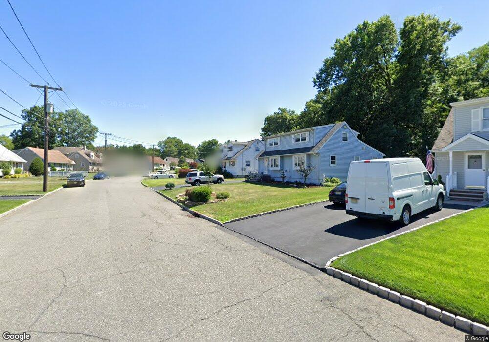
79 Lopez Rd Cedar Grove, NJ 07009
Estimated Value: $646,376 - $743,000
--
Bed
--
Bath
1,596
Sq Ft
$429/Sq Ft
Est. Value
About This Home
This home is located at 79 Lopez Rd, Cedar Grove, NJ 07009 and is currently estimated at $685,344, approximately $429 per square foot. 79 Lopez Rd is a home located in Essex County with nearby schools including Cedar Grove High School, Monarch Montessori School, and St Catherine Of Siena School.
Ownership History
Date
Name
Owned For
Owner Type
Purchase Details
Closed on
Oct 24, 2007
Sold by
Domenick Robert J and La Cara Joyce
Bought by
Lacara Joyce
Current Estimated Value
Purchase Details
Closed on
Dec 18, 1996
Sold by
Stice Judith
Bought by
Domenick Robert
Home Financials for this Owner
Home Financials are based on the most recent Mortgage that was taken out on this home.
Original Mortgage
$134,000
Outstanding Balance
$13,327
Interest Rate
7.46%
Estimated Equity
$672,017
Purchase Details
Closed on
Aug 10, 1990
Sold by
Kennedy Sydney
Bought by
Stice Judith
Create a Home Valuation Report for This Property
The Home Valuation Report is an in-depth analysis detailing your home's value as well as a comparison with similar homes in the area
Home Values in the Area
Average Home Value in this Area
Purchase History
| Date | Buyer | Sale Price | Title Company |
|---|---|---|---|
| Lacara Joyce | -- | None Available | |
| Domenick Robert | $168,000 | -- | |
| Stice Judith | -- | -- |
Source: Public Records
Mortgage History
| Date | Status | Borrower | Loan Amount |
|---|---|---|---|
| Open | Domenick Robert | $134,000 |
Source: Public Records
Tax History Compared to Growth
Tax History
| Year | Tax Paid | Tax Assessment Tax Assessment Total Assessment is a certain percentage of the fair market value that is determined by local assessors to be the total taxable value of land and additions on the property. | Land | Improvement |
|---|---|---|---|---|
| 2025 | $9,508 | $364,300 | $194,900 | $169,400 |
| 2024 | $9,508 | $364,300 | $194,900 | $169,400 |
| 2022 | $9,341 | $364,300 | $194,900 | $169,400 |
| 2021 | $9,228 | $364,300 | $194,900 | $169,400 |
| 2020 | $9,363 | $364,300 | $194,900 | $169,400 |
| 2019 | $9,148 | $364,300 | $194,900 | $169,400 |
| 2018 | $8,729 | $364,300 | $194,900 | $169,400 |
| 2017 | $8,634 | $364,300 | $194,900 | $169,400 |
| 2016 | $8,368 | $364,300 | $194,900 | $169,400 |
| 2015 | $8,175 | $364,300 | $194,900 | $169,400 |
| 2014 | $8,007 | $364,300 | $194,900 | $169,400 |
Source: Public Records
Map
Nearby Homes
- 120 Anderson Pkwy
- 505 Holly Ln
- 806 Holly Ln
- 911 Holly Ln Unit 11
- 911 Holly Ln
- 26 Chestnut Ct
- 1 Chestnut Ct
- 31 Chestnut Ct Unit 16
- 215 Eileen Dr
- 157 1st Ave
- 207 Eileen Dr
- 857 Pompton Ave
- 7 Mountain Ridge Dr Unit 4B
- 185 Wilmore Rd
- 303 Abbe Rd
- 4 Mountain Ridge Dr Unit 25
- 4 Mountain Ridge Dr
- 84 Center Ave
- 50 Laura Dr
- 47 1st Ave