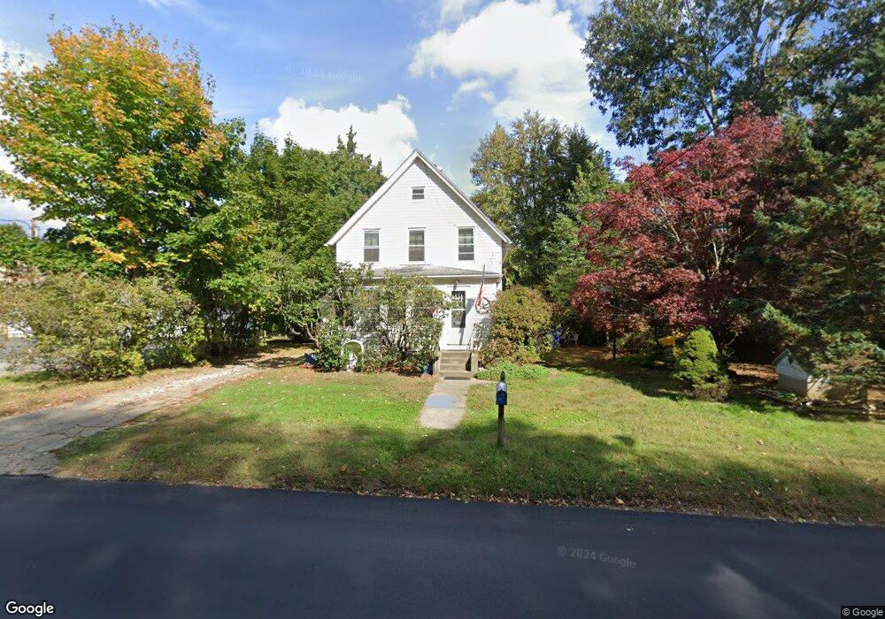
79 Maple Ave Uncasville, CT 06382
Oxoboxo River NeighborhoodEstimated Value: $269,000 - $341,000
3
Beds
2
Baths
1,494
Sq Ft
$199/Sq Ft
Est. Value
About This Home
This home is located at 79 Maple Ave, Uncasville, CT 06382 and is currently estimated at $297,055, approximately $198 per square foot. 79 Maple Ave is a home located in New London County with nearby schools including Leonard J. Tyl Middle School, Montville High School, and Bradley School-New London Regional.
Ownership History
Date
Name
Owned For
Owner Type
Purchase Details
Closed on
Aug 26, 1994
Sold by
Malarkey James R
Bought by
Venanzio Christopher M and Venanzio Audrey
Current Estimated Value
Home Financials for this Owner
Home Financials are based on the most recent Mortgage that was taken out on this home.
Original Mortgage
$82,200
Interest Rate
8.65%
Mortgage Type
Unknown
Create a Home Valuation Report for This Property
The Home Valuation Report is an in-depth analysis detailing your home's value as well as a comparison with similar homes in the area
Home Values in the Area
Average Home Value in this Area
Purchase History
| Date | Buyer | Sale Price | Title Company |
|---|---|---|---|
| Venanzio Christopher M | $83,420 | -- | |
| Venanzio Christopher M | $83,420 | -- |
Source: Public Records
Mortgage History
| Date | Status | Borrower | Loan Amount |
|---|---|---|---|
| Open | Venanzio Christopher M | $71,239 | |
| Closed | Venanzio Christopher M | $48,500 | |
| Closed | Venanzio Christopher M | $15,803 | |
| Closed | Venanzio Christopher M | $82,200 |
Source: Public Records
Tax History Compared to Growth
Tax History
| Year | Tax Paid | Tax Assessment Tax Assessment Total Assessment is a certain percentage of the fair market value that is determined by local assessors to be the total taxable value of land and additions on the property. | Land | Improvement |
|---|---|---|---|---|
| 2025 | $2,955 | $102,340 | $29,960 | $72,380 |
| 2024 | $2,842 | $102,340 | $29,960 | $72,380 |
| 2023 | $2,842 | $102,340 | $29,960 | $72,380 |
| 2022 | $2,734 | $102,340 | $29,960 | $72,380 |
| 2021 | $2,820 | $88,830 | $27,530 | $61,300 |
| 2020 | $2,876 | $88,830 | $27,530 | $61,300 |
| 2019 | $2,888 | $88,830 | $27,530 | $61,300 |
| 2018 | $2,819 | $88,830 | $27,530 | $61,300 |
| 2017 | $2,816 | $88,830 | $27,530 | $61,300 |
| 2016 | $2,641 | $86,280 | $34,400 | $51,880 |
| 2015 | $2,641 | $86,280 | $34,400 | $51,880 |
| 2014 | $2,534 | $86,280 | $34,400 | $51,880 |
Source: Public Records
Map
Nearby Homes
- 60 Hammel Ln
- 245 Norwich New London Turnpike Unit 22
- 57 Roselund Hill Rd
- 197 Norwich-New London Turnpike
- 36 Depot Rd
- 19 Wyndwood Rd
- 22 Heather Brook Rd
- 13 Dock Rd
- 0 Monahan Dr
- 5 Mountain Laurel Ridge
- 230 Gay Hill Rd
- 270 Gay Hill Rd
- 1 High Ridge Cir
- 320 Maple Ave
- 184 Kitemaug Rd
- 10 Marcia Dr
- 170 Raymond Hill Rd
- 505 Old Colchester Rd
- 6 Sunset Rd
- 127 Massapeag Rd