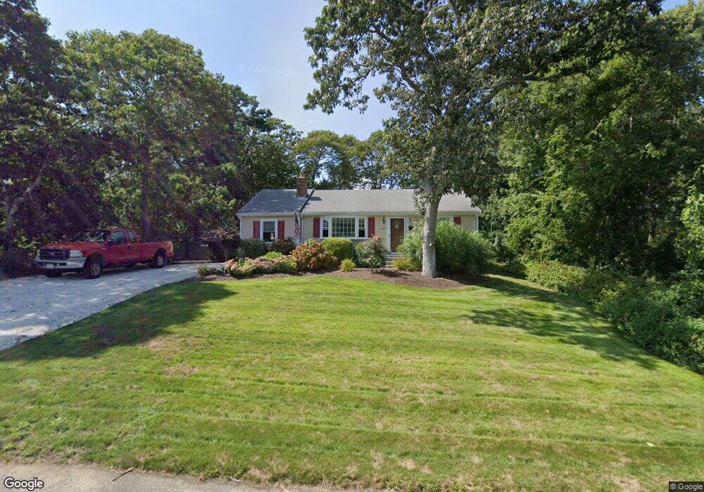
79 Michaels Ave Dennis Port, MA 02639
Dennis Port NeighborhoodEstimated Value: $499,000 - $701,000
2
Beds
1
Bath
1,001
Sq Ft
$594/Sq Ft
Est. Value
About This Home
This home is located at 79 Michaels Ave, Dennis Port, MA 02639 and is currently estimated at $594,451, approximately $593 per square foot. 79 Michaels Ave is a home located in Barnstable County with nearby schools including Dennis-Yarmouth Regional High School and St. Pius X. School.
Ownership History
Date
Name
Owned For
Owner Type
Purchase Details
Closed on
Apr 16, 2004
Sold by
Ladner Scott A and Ladner Tammy L
Bought by
Moore John J and Moore Patricia A
Current Estimated Value
Home Financials for this Owner
Home Financials are based on the most recent Mortgage that was taken out on this home.
Original Mortgage
$220,000
Outstanding Balance
$102,951
Interest Rate
5.58%
Mortgage Type
Purchase Money Mortgage
Estimated Equity
$491,500
Create a Home Valuation Report for This Property
The Home Valuation Report is an in-depth analysis detailing your home's value as well as a comparison with similar homes in the area
Home Values in the Area
Average Home Value in this Area
Purchase History
| Date | Buyer | Sale Price | Title Company |
|---|---|---|---|
| Moore John J | $275,000 | -- |
Source: Public Records
Mortgage History
| Date | Status | Borrower | Loan Amount |
|---|---|---|---|
| Open | Moore John J | $220,000 |
Source: Public Records
Tax History Compared to Growth
Tax History
| Year | Tax Paid | Tax Assessment Tax Assessment Total Assessment is a certain percentage of the fair market value that is determined by local assessors to be the total taxable value of land and additions on the property. | Land | Improvement |
|---|---|---|---|---|
| 2025 | $2,452 | $566,300 | $202,200 | $364,100 |
| 2024 | $2,287 | $520,900 | $194,500 | $326,400 |
| 2023 | $2,212 | $473,600 | $176,800 | $296,800 |
| 2022 | $2,127 | $379,800 | $159,300 | $220,500 |
| 2021 | $2,170 | $359,900 | $178,400 | $181,500 |
| 2020 | $1,956 | $320,700 | $156,100 | $164,600 |
| 2019 | $1,848 | $299,500 | $153,100 | $146,400 |
| 2018 | $1,778 | $280,500 | $145,700 | $134,800 |
| 2017 | $1,635 | $265,800 | $135,300 | $130,500 |
| 2016 | $1,680 | $257,300 | $145,700 | $111,600 |
| 2015 | $1,638 | $255,900 | $145,700 | $110,200 |
| 2014 | $1,493 | $235,100 | $124,900 | $110,200 |
Source: Public Records
Map
Nearby Homes
- 80 Michaels Ave
- 19 Standish Way
- 31 Easy St
- 12 Spoonbill Rd
- 71 Main St
- 37 Ocean Dr Unit 2
- 4 Coffey Ln
- 22 Wixon Rd
- 15 Woodside Park Rd
- 125 Main St Unit 3
- 64 Beaten Rd
- 61 Trotters Ln
- 72 Bassett Ln
- 112 Old Wharf Rd Unit E4
- 112 Old Wharf Rd Unit E1
- 154 Old Wharf Rd Unit 26
- 154 Old Wharf Rd Unit 14
- 120 Old Wharf Rd Unit 11
- 268 Main St
- 26 Center St
- 83 Michaels Ave
- 38 Barnard Rd
- 79 Michael's Ave
- 87 Michaels Ave
- 74 Michaels Ave
- 69 Michaels Ave
- 40 Barnard Rd
- 68 Michael's Ave
- 86 Michaels Ave
- 42 Barnard Rd
- 114 Michael's Ave
- 87 Lawrence Rd
- 93 Lawrence Rd
- 91 Michaels Ave
- 68 Michaels Ave
- 90 Michaels Ave
- 81 Lawrence Rd
- 44 Barnard Rd
- 95 Michaels Ave
- 4 Ezra Ln