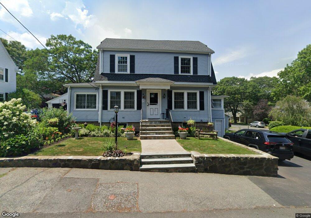
79 Millett Rd Swampscott, MA 01907
Estimated Value: $886,000 - $971,000
3
Beds
3
Baths
1,896
Sq Ft
$491/Sq Ft
Est. Value
About This Home
This home is located at 79 Millett Rd, Swampscott, MA 01907 and is currently estimated at $931,144, approximately $491 per square foot. 79 Millett Rd is a home located in Essex County with nearby schools including Swampscott Middle School and Swampscott High School.
Ownership History
Date
Name
Owned For
Owner Type
Purchase Details
Closed on
Apr 20, 2021
Sold by
Sweazy Kilmer T and Sweazy Larry E
Bought by
Lk Irt
Current Estimated Value
Purchase Details
Closed on
Jul 21, 2020
Sold by
Lk Irt
Bought by
Sweazy Kilmer T and Sweazy Larry E
Purchase Details
Closed on
Aug 11, 2017
Sold by
Sweazy Larry E and Sweazy Kilmer T
Bought by
Lk Irt and Sweazy
Purchase Details
Closed on
Jan 15, 1987
Sold by
Santry Stephen W
Bought by
Sweazy Larry E
Create a Home Valuation Report for This Property
The Home Valuation Report is an in-depth analysis detailing your home's value as well as a comparison with similar homes in the area
Home Values in the Area
Average Home Value in this Area
Purchase History
| Date | Buyer | Sale Price | Title Company |
|---|---|---|---|
| Lk Irt | -- | None Available | |
| Lk Irt | -- | None Available | |
| Lk Irt | -- | None Available | |
| Sweazy Kilmer T | -- | None Available | |
| Sweazy Kilmer T | -- | None Available | |
| Sweazy Kilmer T | -- | None Available | |
| Lk Irt | -- | -- | |
| Lk Irt | -- | -- | |
| Sweazy Larry E | $250,000 | -- |
Source: Public Records
Mortgage History
| Date | Status | Borrower | Loan Amount |
|---|---|---|---|
| Previous Owner | Sweazy Larry E | $385,000 | |
| Previous Owner | Sweazy Larry E | $25,000 | |
| Previous Owner | Sweazy Larry E | $400,000 | |
| Previous Owner | Sweazy Larry E | $251,000 |
Source: Public Records
Tax History
| Year | Tax Paid | Tax Assessment Tax Assessment Total Assessment is a certain percentage of the fair market value that is determined by local assessors to be the total taxable value of land and additions on the property. | Land | Improvement |
|---|---|---|---|---|
| 2025 | $9,397 | $819,300 | $349,200 | $470,100 |
| 2024 | $9,114 | $793,200 | $332,200 | $461,000 |
| 2023 | $8,473 | $721,700 | $298,100 | $423,600 |
| 2022 | $8,098 | $631,200 | $255,500 | $375,700 |
| 2021 | $8,025 | $581,500 | $238,500 | $343,000 |
| 2020 | $7,878 | $550,900 | $213,000 | $337,900 |
| 2019 | $8,050 | $529,600 | $191,700 | $337,900 |
| 2018 | $7,998 | $499,900 | $174,600 | $325,300 |
| 2017 | $8,184 | $469,000 | $163,500 | $305,500 |
| 2016 | $8,128 | $469,000 | $163,500 | $305,500 |
| 2015 | $8,043 | $469,000 | $163,500 | $305,500 |
| 2014 | $7,241 | $387,200 | $136,300 | $250,900 |
Source: Public Records
Map
Nearby Homes
- 75 Bay View Dr
- 38 Puritan Rd
- 71 Walnut Rd
- 27 Rockland St
- 133 Elmwood Rd Unit 2
- 245 Humphrey St Unit 205
- 48 Mountwood Rd
- 49 Blaney St
- 50 Mountwood Rd
- 22 Hemenway Rd
- 167-169 Walker Rd
- 169 Walker Rd Unit 2
- 168 Humphrey St Unit PH
- 315 Puritan Rd
- 35 Alden Rd
- 3 Didio Dr
- 8 Summit View Dr
- 110 Galloupes Point Rd
- 28 Claremont Terrace Unit 6
- 2 Ocean Ave
Your Personal Tour Guide
Ask me questions while you tour the home.