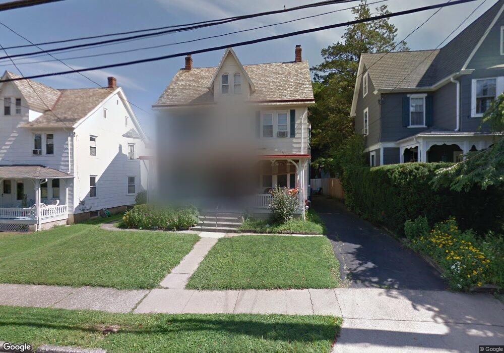
79 N Clinton St Doylestown, PA 18901
Estimated Value: $442,337 - $585,000
--
Bed
1
Bath
1,395
Sq Ft
$379/Sq Ft
Est. Value
About This Home
This home is located at 79 N Clinton St, Doylestown, PA 18901 and is currently estimated at $528,334, approximately $378 per square foot. 79 N Clinton St is a home located in Bucks County with nearby schools including Doyle El School, Lenape Middle School, and Central Bucks High School-West.
Ownership History
Date
Name
Owned For
Owner Type
Purchase Details
Closed on
Apr 24, 2006
Sold by
Gibson Norma Allers
Bought by
Munoz John C and Jordan Sharlene M
Current Estimated Value
Home Financials for this Owner
Home Financials are based on the most recent Mortgage that was taken out on this home.
Original Mortgage
$200,000
Outstanding Balance
$115,198
Interest Rate
6.4%
Mortgage Type
Purchase Money Mortgage
Estimated Equity
$413,136
Purchase Details
Closed on
Jul 19, 1996
Sold by
Young Edith W
Bought by
Gibson Norma Allers
Home Financials for this Owner
Home Financials are based on the most recent Mortgage that was taken out on this home.
Original Mortgage
$121,500
Interest Rate
8.37%
Create a Home Valuation Report for This Property
The Home Valuation Report is an in-depth analysis detailing your home's value as well as a comparison with similar homes in the area
Home Values in the Area
Average Home Value in this Area
Purchase History
| Date | Buyer | Sale Price | Title Company |
|---|---|---|---|
| Munoz John C | $324,000 | None Available | |
| Gibson Norma Allers | $135,000 | -- |
Source: Public Records
Mortgage History
| Date | Status | Borrower | Loan Amount |
|---|---|---|---|
| Open | Munoz John C | $200,000 | |
| Previous Owner | Gibson Norma Allers | $121,500 |
Source: Public Records
Tax History Compared to Growth
Tax History
| Year | Tax Paid | Tax Assessment Tax Assessment Total Assessment is a certain percentage of the fair market value that is determined by local assessors to be the total taxable value of land and additions on the property. | Land | Improvement |
|---|---|---|---|---|
| 2025 | $3,027 | $16,800 | $2,560 | $14,240 |
| 2024 | $3,027 | $16,800 | $2,560 | $14,240 |
| 2023 | $2,883 | $16,800 | $2,560 | $14,240 |
| 2022 | $2,843 | $16,800 | $2,560 | $14,240 |
| 2021 | $2,812 | $16,800 | $2,560 | $14,240 |
| 2020 | $2,781 | $16,800 | $2,560 | $14,240 |
| 2019 | $2,751 | $16,800 | $2,560 | $14,240 |
| 2018 | $2,717 | $16,800 | $2,560 | $14,240 |
| 2017 | $2,688 | $16,800 | $2,560 | $14,240 |
| 2016 | $2,688 | $16,800 | $2,560 | $14,240 |
| 2015 | -- | $16,800 | $2,560 | $14,240 |
| 2014 | -- | $16,800 | $2,560 | $14,240 |
Source: Public Records
Map
Nearby Homes
- 37 N Clinton St
- 130 N Clinton St
- 20 E Court St
- 69 E Oakland Ave
- 1 Barnes Ct
- 146 N Church St
- 195 Lafayette St
- 110 E Ashland St
- 146 E Court St
- 155 E Oakland Ave
- 236 Green St
- 9 Mill Creek Dr
- 89 Homestead Dr
- 6 Edison Ln Unit 1
- 418 North St
- 403 S Main St Unit S201
- 3 Steeplechase Dr
- 339 E Ashland St
- 121 Cottage St
- 114 Progress Dr
- 81 N Clinton St
- 73 N Clinton St
- 87 N Clinton St
- 69 N Clinton St
- 89 N Clinton St
- 67 N Clinton St
- 110 Decatur St
- 80 N Clinton St
- 74 N Clinton St
- 101 N Clinton St
- 59 N Clinton St
- 86 N Clinton St
- 68 N Clinton St
- 57 N Clinton St
- 102 Decatur St
- 64 N Clinton St
- 96 Decatur St
- 105 N Clinton St Unit A
- 105 N Clinton St
- 102 N Clinton St Unit 2