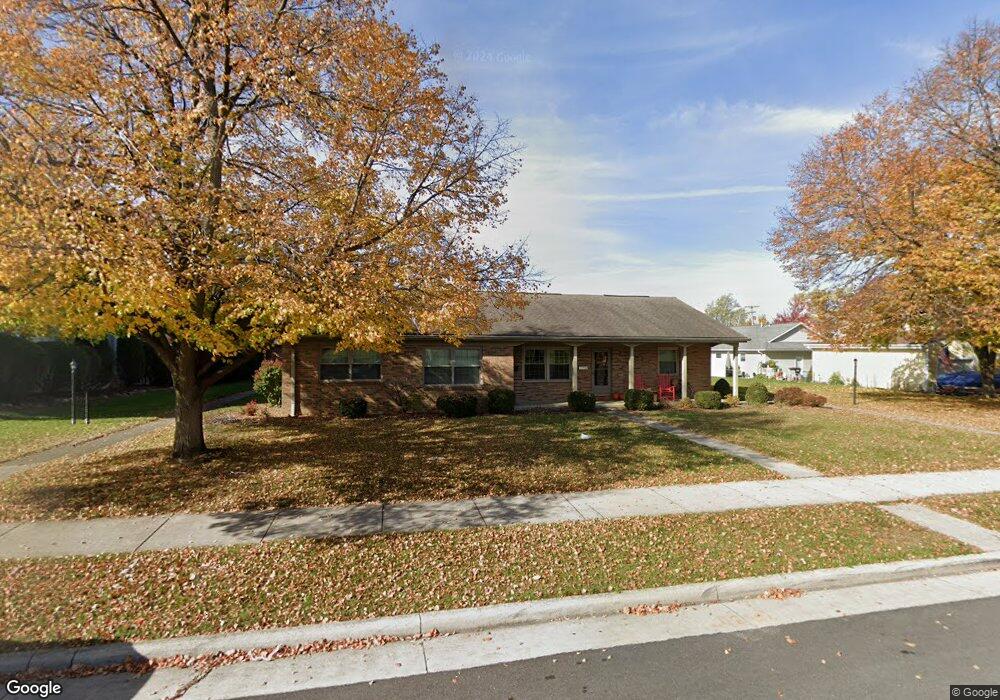
79 N Hanover St Minster, OH 45865
Estimated Value: $129,427 - $155,000
2
Beds
1
Bath
832
Sq Ft
$175/Sq Ft
Est. Value
About This Home
This home is located at 79 N Hanover St, Minster, OH 45865 and is currently estimated at $145,607, approximately $175 per square foot. 79 N Hanover St is a home located in Auglaize County with nearby schools including Minster Elementary School and Minster Junior/Senior High School.
Ownership History
Date
Name
Owned For
Owner Type
Purchase Details
Closed on
Nov 6, 2014
Sold by
Gaier Ida Mae
Bought by
Ripploh Michael J and Ripploh Susan M
Current Estimated Value
Purchase Details
Closed on
May 12, 1999
Sold by
Meyer Alma
Bought by
Gaier Ida Mae
Purchase Details
Closed on
Nov 6, 1996
Sold by
Dickman Charles H
Bought by
Meyer Alma
Purchase Details
Closed on
Jan 1, 1991
Purchase Details
Closed on
Nov 1, 1987
Create a Home Valuation Report for This Property
The Home Valuation Report is an in-depth analysis detailing your home's value as well as a comparison with similar homes in the area
Home Values in the Area
Average Home Value in this Area
Purchase History
| Date | Buyer | Sale Price | Title Company |
|---|---|---|---|
| Ripploh Michael J | $68,500 | Attorney | |
| Gaier Ida Mae | $67,500 | -- | |
| Meyer Alma | $70,000 | -- | |
| -- | $58,000 | -- | |
| -- | $42,700 | -- |
Source: Public Records
Tax History
| Year | Tax Paid | Tax Assessment Tax Assessment Total Assessment is a certain percentage of the fair market value that is determined by local assessors to be the total taxable value of land and additions on the property. | Land | Improvement |
|---|---|---|---|---|
| 2025 | $2,113 | $30,420 | $4,200 | $26,220 |
| 2024 | $2,113 | $30,420 | $4,200 | $26,220 |
| 2023 | $1,068 | $30,420 | $4,200 | $26,220 |
| 2022 | $959 | $24,980 | $4,680 | $20,300 |
| 2021 | $966 | $24,980 | $4,680 | $20,300 |
| 2020 | $986 | $24,987 | $4,683 | $20,304 |
| 2019 | $863 | $20,314 | $3,808 | $16,506 |
| 2018 | $863 | $20,314 | $3,808 | $16,506 |
| 2017 | $803 | $20,314 | $3,808 | $16,506 |
| 2016 | $761 | $19,324 | $3,654 | $15,670 |
| 2015 | $748 | $19,324 | $3,654 | $15,670 |
| 2014 | $419 | $19,324 | $3,654 | $15,670 |
| 2013 | $439 | $19,324 | $3,654 | $15,670 |
Source: Public Records
Map
Nearby Homes
- 31 Melcher St
- 7 E 2nd St
- 17 Stonegate Dr
- 0 Stonegate Dr Unit 14 10544847
- 0 Stonegate Dr Unit 21 10544857
- 36 Shania Place Unit 23
- 28 Shania Place Unit 33
- 19 Shania Place Unit 33
- 27 Shania Place Unit 26
- 1991 Minster Egypt Pike
- 561 S Walnut St Unit Lot3
- 610 S Walnut St
- 5761 Fisher & Koverman Rd
- 315 Mid Lane St
- 217 S Washington St
- 410 E Cherry St
- 130 Janice Dr
- 312 Margaret St
- 316 Margaret St
- 323 Margaret St
- 81 N Hanover St
- 83 N Hanover St Unit C
- 85 N Hanover St
- 85 N Hanover St
- 85 S Hanover St
- 87 N Hanover St Unit E
- 87 N Hanover St
- 73 N Hanover St
- 89 N Hanover St Unit F
- 91 N Hanover St Unit G
- 93 S Hanover St
- 93 N Hanover St
- 95 N Hanover St
- 31 W 5th St
- 63 N Hanover St
- 39 W 5th St
- 55 N Hanover St
- 107 N Hanover St
- 86 S Hanover St
- 45 W 5th St
Your Personal Tour Guide
Ask me questions while you tour the home.