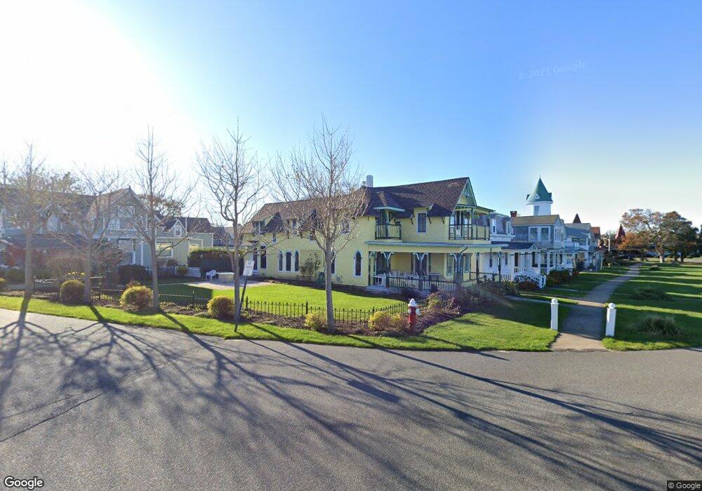
79 Ocean Ave Oak Bluffs, MA 02557
Oak Bluffs NeighborhoodEstimated Value: $1,755,000 - $2,984,000
3
Beds
3
Baths
1,896
Sq Ft
$1,337/Sq Ft
Est. Value
About This Home
This home is located at 79 Ocean Ave, Oak Bluffs, MA 02557 and is currently estimated at $2,534,318, approximately $1,336 per square foot. 79 Ocean Ave is a home with nearby schools including Oak Bluffs Elementary School and Martha's Vineyard Regional High School.
Ownership History
Date
Name
Owned For
Owner Type
Purchase Details
Closed on
May 10, 1999
Sold by
Anne L Palmer Rev Lt
Bought by
Lehr Michael
Current Estimated Value
Create a Home Valuation Report for This Property
The Home Valuation Report is an in-depth analysis detailing your home's value as well as a comparison with similar homes in the area
Home Values in the Area
Average Home Value in this Area
Purchase History
| Date | Buyer | Sale Price | Title Company |
|---|---|---|---|
| Lehr Michael | $435,000 | -- |
Source: Public Records
Mortgage History
| Date | Status | Borrower | Loan Amount |
|---|---|---|---|
| Open | Lehr Michael | $858,000 | |
| Closed | Lehr Michael | $298,000 | |
| Closed | Lehr Michael | $300,700 |
Source: Public Records
Tax History Compared to Growth
Tax History
| Year | Tax Paid | Tax Assessment Tax Assessment Total Assessment is a certain percentage of the fair market value that is determined by local assessors to be the total taxable value of land and additions on the property. | Land | Improvement |
|---|---|---|---|---|
| 2025 | $16,048 | $3,177,800 | $2,176,500 | $1,001,300 |
| 2024 | $15,334 | $2,932,000 | $1,977,900 | $954,100 |
| 2023 | $14,519 | $2,749,900 | $1,921,800 | $828,100 |
| 2022 | $14,264 | $2,100,800 | $1,463,300 | $637,500 |
| 2021 | $3,011 | $1,829,100 | $1,250,600 | $578,500 |
| 2020 | $2,012 | $1,727,400 | $1,191,000 | $536,400 |
| 2019 | $12,420 | $1,615,100 | $1,092,300 | $522,800 |
| 2018 | $2,774 | $1,480,800 | $958,300 | $522,500 |
| 2017 | $11,136 | $1,366,400 | $898,800 | $467,600 |
| 2016 | $10,944 | $1,349,500 | $926,600 | $422,900 |
| 2015 | $10,424 | $1,309,500 | $926,600 | $382,900 |
| 2014 | $8,714 | $1,115,700 | $690,800 | $424,900 |
Source: Public Records
Map
Nearby Homes
- 46 Kennebec Ave
- 34 Massasoit Ave
- 1 Cottage Park
- 2 Lincoln Ave
- 10 Siloam Ave
- 4 Canonicus Ave
- 50 Canonicus Ave
- 24 School St
- 113 Dukes County Ave Unit Multi-Family
- 181 Circuit Ave
- 47 E East Chop Dr Unit 5
- 47 E Chop Dr Unit 4
- 47 E Chop Dr Unit 2
- 47 E Chop Dr Unit 3
- 47 E Chop Dr Unit 1
- 47 E Chop Dr
- 47 E Chop Dr Unit 5
- 9 Brunswick Ave
- 77 Ocean Ave
- 75 Ocean Ave
- 8 Naumkeag Ave
- 27 Samoset Ave
- 73 Ocean Ave
- 71 Ocean Ave
- 71 Ocean Ave
- 87 Ocean Ave
- 26 Samoset Ave
- 28 Samoset Ave
- 55 Samoset Ave
- 55 Samoset Ave Unit Avenue
- 40 Samoset Ave
- 36 Samoset Ave
- 34 Samoset Ave
- 55 Samoset Ave Unit 1
- 24 Samoset Ave
- 69 Ocean Ave
- 30 Samoset Ave
- 20 Samoset Ave