Estimated Value: $288,000 - $465,000
1
Bed
1
Bath
470
Sq Ft
$778/Sq Ft
Est. Value
About This Home
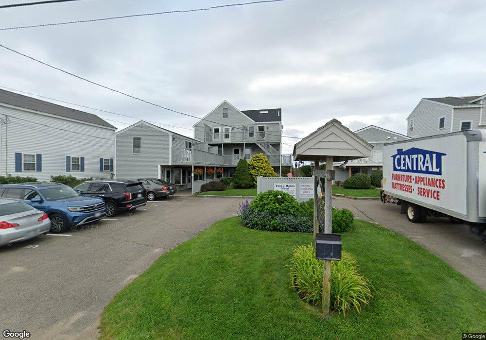
This home is located at 79 Ocean Ave Unit 6, Wells, ME 04090 and is currently estimated at $365,782, approximately $778 per square foot. 79 Ocean Ave Unit 6 is a home located in York County with nearby schools including Wells Junior High School, Wells Elementary School, and Wells High School.
Ownership History
Date
Name
Owned For
Owner Type
Purchase Details
Closed on
Jul 10, 2024
Sold by
Fatsis Cindy L
Bought by
Cindy L Fatsis Ret and Fatsis
Current Estimated Value
Purchase Details
Closed on
Jul 9, 2024
Sold by
Number 6 Ocean Dunes Rt and Fatsis
Bought by
Fatsis Cindy L
Purchase Details
Closed on
Jan 24, 2005
Sold by
Dorothy Lourie T and Dorothy Cobin
Bought by
Gussman Reginald and Lourie Dorothy
Create a Home Valuation Report for This Property
The Home Valuation Report is an in-depth analysis detailing your home's value as well as a comparison with similar homes in the area
Home Values in the Area
Average Home Value in this Area
Purchase History
| Date | Buyer | Sale Price | Title Company |
|---|---|---|---|
| Cindy L Fatsis Ret | -- | None Available | |
| Cindy L Fatsis Ret | -- | None Available | |
| Cindy L Fatsis Ret | -- | None Available | |
| Cindy L Fatsis Ret | -- | None Available | |
| Fatsis Cindy L | -- | None Available | |
| Fatsis Cindy L | -- | None Available | |
| Fatsis Cindy L | -- | None Available | |
| Fatsis Cindy L | -- | None Available | |
| Gussman Reginald | -- | -- | |
| Gussman Reginald | -- | -- |
Source: Public Records
Tax History Compared to Growth
Tax History
| Year | Tax Paid | Tax Assessment Tax Assessment Total Assessment is a certain percentage of the fair market value that is determined by local assessors to be the total taxable value of land and additions on the property. | Land | Improvement |
|---|---|---|---|---|
| 2024 | $2,480 | $407,850 | $333,650 | $74,200 |
| 2023 | $2,804 | $470,410 | $396,210 | $74,200 |
| 2022 | $2,375 | $227,050 | $180,120 | $46,930 |
| 2021 | $2,389 | $227,050 | $180,120 | $46,930 |
| 2020 | $2,379 | $227,050 | $180,120 | $46,930 |
| 2019 | $2,366 | $227,050 | $180,120 | $46,930 |
| 2018 | $2,285 | $225,410 | $180,120 | $45,290 |
| 2017 | $2,290 | $225,410 | $180,120 | $45,290 |
| 2016 | $2,268 | $225,410 | $180,120 | $45,290 |
| 2015 | $2,243 | $225,410 | $180,120 | $45,290 |
| 2013 | $2,056 | $225,410 | $180,120 | $45,290 |
Source: Public Records
Map
Nearby Homes
- 168 Ocean Ave
- 314 Ocean Ave
- 9 Bourne Ave Unit B6
- 9 Bourne Ave Unit P-22
- 718 Main St Unit A3
- 341 Ocean Ave Unit 1
- 76 Post Rd Unit 17M &18M
- 32 Tatnic Rd
- 390 Ocean Ave
- 404 Ocean Ave Unit 7
- 32 Queens Way
- 56 Kings Hwy
- 15 Blanchard St
- 1 Old County Rd Unit 702
- 1 Old County Rd Unit 165
- 1 Old County Rd Unit 132
- Lot 2 Maling Ln
- 64 Old Kings Hwy
- 12 Whiporwill Dr
- 11 Partridge Ln
- 79 Ocean Ave Unit 8
- 79 Ocean Ave Unit 7
- 79 Ocean Ave Unit 5
- 79 Ocean Ave Unit 4
- 79 Ocean Ave Unit 3
- 79 Ocean Ave Unit 2
- 79 Ocean Ave Unit 12
- 79 Ocean Ave Unit 11
- 79 Ocean Ave Unit 10
- 79 Ocean Ave Unit 1
- 79 Ocean Ave
- 85 Ocean Ave
- 73 Ocean Ave
- 89 Ocean Ave
- 69 Ocean Ave
- 88 Ocean Ave
- 93 Ocean Ave
- 65 Ocean Ave
- 95 Ocean Ave
- 97 Ocean Ave Unit 2