79 Old Doe Rd Durham, ME 04222
Estimated Value: $450,721 - $600,000
2
Beds
2
Baths
1,568
Sq Ft
$328/Sq Ft
Est. Value
About This Home
This home is located at 79 Old Doe Rd, Durham, ME 04222 and is currently estimated at $513,680, approximately $327 per square foot. 79 Old Doe Rd is a home located in Androscoggin County with nearby schools including Durham Community School and Freeport High School.
Ownership History
Date
Name
Owned For
Owner Type
Purchase Details
Closed on
Apr 18, 2008
Sold by
Waterman Dean C and Waterman Dana E
Bought by
Daly Adam D and Daly Rebecca K
Current Estimated Value
Home Financials for this Owner
Home Financials are based on the most recent Mortgage that was taken out on this home.
Original Mortgage
$215,000
Outstanding Balance
$137,114
Interest Rate
6.1%
Mortgage Type
Purchase Money Mortgage
Estimated Equity
$376,566
Create a Home Valuation Report for This Property
The Home Valuation Report is an in-depth analysis detailing your home's value as well as a comparison with similar homes in the area
Home Values in the Area
Average Home Value in this Area
Purchase History
| Date | Buyer | Sale Price | Title Company |
|---|---|---|---|
| Daly Adam D | -- | -- |
Source: Public Records
Mortgage History
| Date | Status | Borrower | Loan Amount |
|---|---|---|---|
| Open | Daly Adam D | $215,000 |
Source: Public Records
Tax History
| Year | Tax Paid | Tax Assessment Tax Assessment Total Assessment is a certain percentage of the fair market value that is determined by local assessors to be the total taxable value of land and additions on the property. | Land | Improvement |
|---|---|---|---|---|
| 2024 | $3,995 | $183,700 | $66,900 | $116,800 |
| 2023 | $3,922 | $183,700 | $66,900 | $116,800 |
| 2022 | $3,803 | $183,700 | $66,900 | $116,800 |
| 2021 | $3,803 | $183,700 | $66,900 | $116,800 |
| 2020 | $3,720 | $183,700 | $66,900 | $116,800 |
| 2019 | $3,720 | $183,700 | $66,900 | $116,800 |
| 2018 | $3,619 | $183,700 | $66,900 | $116,800 |
| 2016 | $3,454 | $183,700 | $66,900 | $116,800 |
| 2015 | $3,196 | $183,700 | $66,900 | $116,800 |
| 2014 | $3,059 | $183,700 | $66,900 | $116,800 |
| 2013 | $2,746 | $183,700 | $66,900 | $116,800 |
Source: Public Records
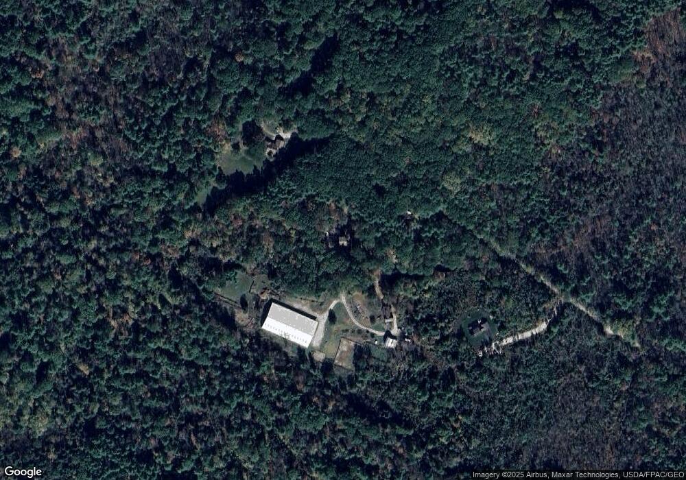
Map
Nearby Homes
- 253 Quaker Meeting House Rd
- 006-114 Old Brunswick Rd
- 42A Wardtown Rd
- 0 Nyasa Ln
- 64 Wardtown Rd
- 2 Renee Rd
- 21 Renee Rd
- 39 Pine Knoll Dr
- 4 Harper's Trail
- Lot 9 Little Fawn Ln
- 8 Statler Ln
- 45 Ruby Ln
- 1 Wardtown Rd
- 16 Piper Farm Rd
- 0 Prout Rd
- 1260 Us Route 1
- 768 Lawrence Rd
- 10 Prout Rd
- 850 Lawrence Rd
- Lot 8 Crossman Dr
- 86 Old Doe Rd
- 1561 Royalsborough Rd
- 24 Lucia Ln
- 1551 Royalsborough Rd
- 1558 Royalsborough Rd
- 1569 Royalsborough Rd
- 1579 Royalsborough
- 1548 Royalsborough Rd
- 1576 Royalsborough Rd
- 1540 Royalsborough Rd
- 14 Reed Rd
- 1531 Royalsborough Rd
- 1586 Royalsborough Rd
- 1532 Royalsborough Rd
- 1593 Royalsborough Rd
- 35 Reed Rd
- Lot 1 Chicadee
- Lot 1 Chickadee Ln
- 32 Reed Rd
- 26 Whippoorwill Ln
Your Personal Tour Guide
Ask me questions while you tour the home.