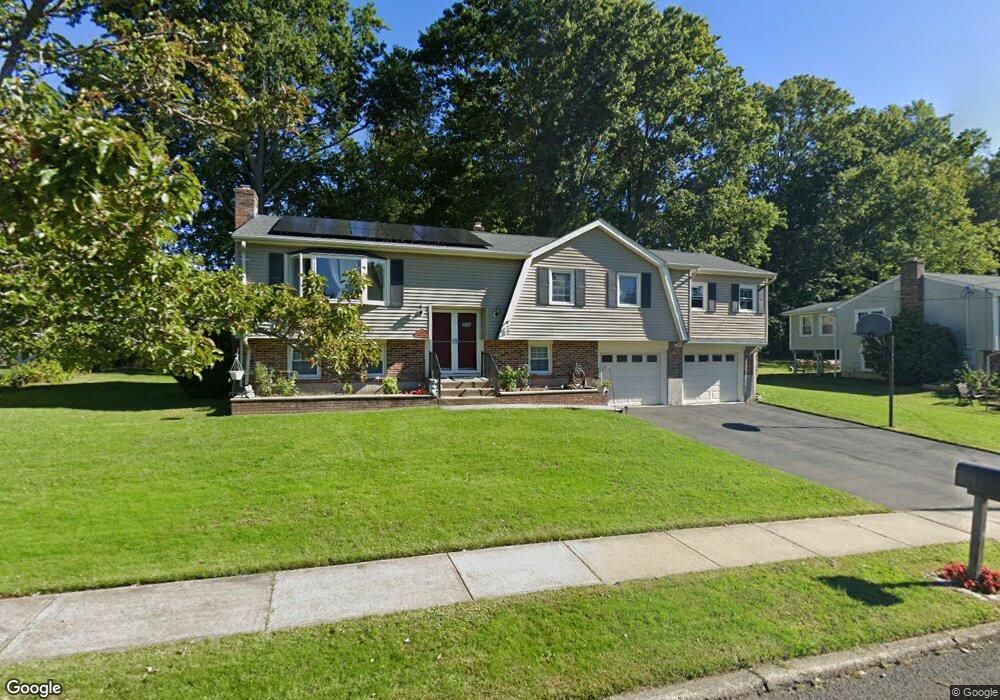
79 Oxbow Ln West Haven, CT 06516
West Shore NeighborhoodEstimated Value: $494,852 - $635,000
4
Beds
3
Baths
1,572
Sq Ft
$371/Sq Ft
Est. Value
About This Home
This home is located at 79 Oxbow Ln, West Haven, CT 06516 and is currently estimated at $582,963, approximately $370 per square foot. 79 Oxbow Ln is a home located in New Haven County with nearby schools including Carrigan 5/6 Intermediate School, Harry M. Bailey Middle School, and West Haven High School.
Ownership History
Date
Name
Owned For
Owner Type
Purchase Details
Closed on
Jul 21, 2003
Sold by
Prudential Res Svc Lp
Bought by
Davis Douglas J and Davis Elizabeth J
Current Estimated Value
Home Financials for this Owner
Home Financials are based on the most recent Mortgage that was taken out on this home.
Original Mortgage
$247,200
Outstanding Balance
$105,730
Interest Rate
5.34%
Mortgage Type
Purchase Money Mortgage
Estimated Equity
$477,233
Create a Home Valuation Report for This Property
The Home Valuation Report is an in-depth analysis detailing your home's value as well as a comparison with similar homes in the area
Home Values in the Area
Average Home Value in this Area
Purchase History
| Date | Buyer | Sale Price | Title Company |
|---|---|---|---|
| Davis Douglas J | $309,000 | -- | |
| Prudential Res Svc Lp | $309,000 | -- | |
| Davis Douglas J | $309,000 | -- |
Source: Public Records
Mortgage History
| Date | Status | Borrower | Loan Amount |
|---|---|---|---|
| Open | Davis Douglas J | $247,200 | |
| Closed | Davis Douglas J | $247,200 | |
| Previous Owner | Davis Douglas J | $139,000 |
Source: Public Records
Tax History Compared to Growth
Tax History
| Year | Tax Paid | Tax Assessment Tax Assessment Total Assessment is a certain percentage of the fair market value that is determined by local assessors to be the total taxable value of land and additions on the property. | Land | Improvement |
|---|---|---|---|---|
| 2025 | $9,778 | $292,110 | $91,070 | $201,040 |
| 2024 | $8,902 | $189,980 | $63,070 | $126,910 |
| 2023 | $8,597 | $190,610 | $63,070 | $127,540 |
| 2022 | $8,442 | $190,610 | $63,070 | $127,540 |
| 2021 | $8,442 | $190,610 | $63,070 | $127,540 |
| 2020 | $8,490 | $174,650 | $58,520 | $116,130 |
| 2019 | $8,219 | $174,650 | $58,520 | $116,130 |
| 2018 | $8,102 | $174,650 | $58,520 | $116,130 |
| 2017 | $7,884 | $174,650 | $58,520 | $116,130 |
| 2016 | $7,796 | $174,650 | $58,520 | $116,130 |
| 2015 | $7,883 | $197,680 | $62,370 | $135,310 |
| 2014 | $7,883 | $197,680 | $62,370 | $135,310 |
Source: Public Records
Map
Nearby Homes
- 238 Benham Hill Rd
- 110 Honey Pot Rd
- 224 Benham Hill Rd
- 75 Oxbow Ln
- 76 Oxbow Ln
- 241 Benham Hill Rd
- 235 Benham Hill Rd
- 216 Benham Hill Rd
- 231 Benham Hill Rd
- 108 Honey Pot Rd
- 118 Jessie Dr
- 73 Oxbow Ln
- 225 Benham Hill Rd
- 109 Honey Pot Rd
- 74 Oxbow Ln
- 219 Benham Hill Rd
- 110 Jessie Dr
- 208 Benham Hill Rd
- 94 Jessie Dr
- 117 Jessie Dr