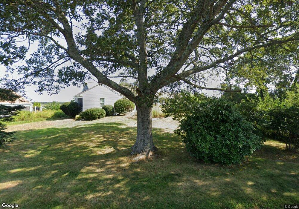
79 Pheasant Cove Cir Yarmouth Port, MA 02675
Yarmouth Port NeighborhoodEstimated Value: $913,000 - $1,763,000
3
Beds
3
Baths
1,675
Sq Ft
$706/Sq Ft
Est. Value
About This Home
This home is located at 79 Pheasant Cove Cir, Yarmouth Port, MA 02675 and is currently estimated at $1,182,371, approximately $705 per square foot. 79 Pheasant Cove Cir is a home located in Barnstable County with nearby schools including Dennis-Yarmouth Regional High School and St. Pius X. School.
Ownership History
Date
Name
Owned For
Owner Type
Purchase Details
Closed on
Apr 25, 2008
Sold by
Jenkins Richard A
Bought by
Jenkins Candace and Jenkins Richard A
Current Estimated Value
Purchase Details
Closed on
Mar 4, 2005
Sold by
Jenkins Doris P and Jenkins Richard A
Bought by
Jenkins Doris P and Jenkins Richard A
Purchase Details
Closed on
Dec 18, 1991
Sold by
Hempstead Priscilla W
Bought by
Jenkins Richard A and Jenkins Doris P
Create a Home Valuation Report for This Property
The Home Valuation Report is an in-depth analysis detailing your home's value as well as a comparison with similar homes in the area
Home Values in the Area
Average Home Value in this Area
Purchase History
| Date | Buyer | Sale Price | Title Company |
|---|---|---|---|
| Jenkins Candace | $47,929 | -- | |
| Jenkins Richard A | -- | -- | |
| Doris P Jenkins T | -- | -- | |
| Jenkins Doris P | -- | -- | |
| Jenkins Richard A | $280,000 | -- |
Source: Public Records
Tax History Compared to Growth
Tax History
| Year | Tax Paid | Tax Assessment Tax Assessment Total Assessment is a certain percentage of the fair market value that is determined by local assessors to be the total taxable value of land and additions on the property. | Land | Improvement |
|---|---|---|---|---|
| 2025 | $6,203 | $876,200 | $405,700 | $470,500 |
| 2024 | $5,794 | $785,100 | $353,000 | $432,100 |
| 2023 | $5,804 | $715,600 | $332,900 | $382,700 |
| 2022 | $6,661 | $725,600 | $377,700 | $347,900 |
| 2021 | $6,262 | $655,000 | $360,400 | $294,600 |
| 2020 | $6,224 | $622,400 | $359,900 | $262,500 |
| 2019 | $5,899 | $584,100 | $359,900 | $224,200 |
| 2018 | $5,846 | $568,100 | $343,900 | $224,200 |
| 2017 | $5,692 | $568,100 | $343,900 | $224,200 |
| 2016 | $5,670 | $568,100 | $343,900 | $224,200 |
| 2015 | $5,532 | $551,000 | $343,900 | $207,100 |
Source: Public Records
Map
Nearby Homes
- 30 W Woods
- 30 W Woods Cir Unit 30
- 2 Pine Grove
- 158 Kates Path
- 25 Oak Glen Village Unit 25
- 25 Oak Glen
- 28 Oak Glen
- 23 Dauphine Dr
- 19 John Hall Cartway Unit E
- 50 John Hall Cartway
- 50 John Hall Cartway Unit 50
- 19 John Halls Cartpath Village Unit E
- 42 John Hall Cartway Unit 42
- 228 Kates Path
- 17 Kates Path Unit A
- 17 Nottingham Dr
- 64 Kates Path
- 49 Rodoalph's Way
- 43 Canterbury Rd
- 21 Boxwood Cir
- 22 Pheasant Cove Cir
- 49 Pheasant Cove Cir
- 0 Pheasant Cove Cir
- 85 Pheasant Cove Cir
- 78 Pheasant Cove Cir
- 86 Pheasant Cove Cir
- 91 Pheasant Cove Cir
- 74 Pheasant Cove Cir
- 68 Pheasant Cove Cir
- 67 Pheasant Cove Cir
- 14 Pheasant Cove Cir
- 92 Pheasant Cove Cir
- 30 Pheasant Cove Cir
- 8 Pheasant Cove Cir
- 61 Pheasant Cove Cir
- 58 Pheasant Cove Cir
- 97 Pheasant Cove Cir
- 2 Pheasant Cove Cir
- 44 Pheasant Cove Cir
- 19 Pheasant Cove Cir