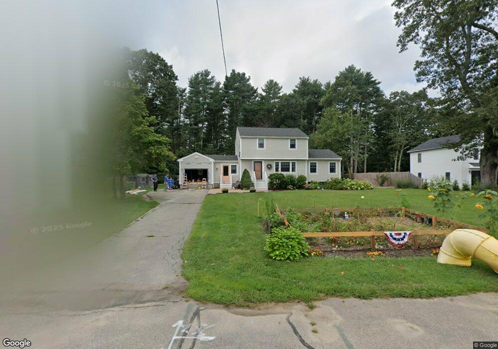
79 Phillips Ln Wrentham, MA 02093
Estimated Value: $456,000 - $692,000
3
Beds
2
Baths
1,275
Sq Ft
$461/Sq Ft
Est. Value
About This Home
This home is located at 79 Phillips Ln, Wrentham, MA 02093 and is currently estimated at $587,832, approximately $461 per square foot. 79 Phillips Ln is a home located in Norfolk County with nearby schools including Delaney Elementary School and Charles E Roderick.
Ownership History
Date
Name
Owned For
Owner Type
Purchase Details
Closed on
May 27, 2008
Sold by
Triplett Kevin T and Triplett Lynn A
Bought by
Dacko Michael and Dacko Lisa
Current Estimated Value
Home Financials for this Owner
Home Financials are based on the most recent Mortgage that was taken out on this home.
Original Mortgage
$322,440
Outstanding Balance
$205,742
Interest Rate
5.94%
Mortgage Type
Purchase Money Mortgage
Estimated Equity
$382,090
Create a Home Valuation Report for This Property
The Home Valuation Report is an in-depth analysis detailing your home's value as well as a comparison with similar homes in the area
Purchase History
| Date | Buyer | Sale Price | Title Company |
|---|---|---|---|
| Dacko Michael | $327,500 | -- |
Source: Public Records
Mortgage History
| Date | Status | Borrower | Loan Amount |
|---|---|---|---|
| Open | Dacko Michael | $322,440 |
Source: Public Records
Tax History
| Year | Tax Paid | Tax Assessment Tax Assessment Total Assessment is a certain percentage of the fair market value that is determined by local assessors to be the total taxable value of land and additions on the property. | Land | Improvement |
|---|---|---|---|---|
| 2025 | $6,190 | $534,100 | $289,100 | $245,000 |
| 2024 | $6,022 | $501,800 | $289,100 | $212,700 |
| 2023 | $5,679 | $450,000 | $262,900 | $187,100 |
| 2022 | $5,510 | $403,100 | $245,300 | $157,800 |
| 2021 | $5,057 | $359,400 | $214,100 | $145,300 |
| 2020 | $4,901 | $343,900 | $190,400 | $153,500 |
| 2019 | $4,758 | $337,000 | $190,400 | $146,600 |
| 2018 | $4,816 | $338,200 | $190,600 | $147,600 |
| 2017 | $4,544 | $318,900 | $186,900 | $132,000 |
| 2016 | $4,441 | $311,000 | $181,500 | $129,500 |
| 2015 | $4,337 | $289,500 | $174,500 | $115,000 |
| 2014 | $4,265 | $278,600 | $167,800 | $110,800 |
Source: Public Records
Map
Nearby Homes
- 500 Franklin St
- 287 Park St
- 246 Forest Grove Ave
- 50 Reed Fulton Ave Unit Lot 61
- 45 Joshua Rd
- 10 Nature View Dr
- 15 Nature View Dr
- 0 W Birch Rd
- 8 Ridgefield Rd
- 11 Weber Farm Rd Unit 11
- 2 Earle Stewart Ln
- 8 Weber Farm Rd Unit 8
- 12 Earle Stewart Ln
- 3 Earle Stewart Ln
- 576 Dedham St
- 10 Earle Stewart Ln Unit Lot 5
- 30 Weber Farm Rd Unit 30
- 9 Elliot Mills Unit 5
- 8 Elliot Mills Unit 30
- 5 Elliot Mills Unit 3
Your Personal Tour Guide
Ask me questions while you tour the home.