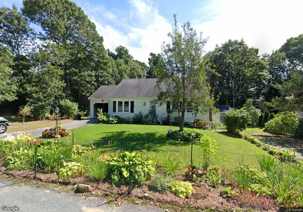
79 Pompano Rd Yarmouth Port, MA 02675
Yarmouth Port NeighborhoodEstimated Value: $594,515 - $684,000
3
Beds
3
Baths
1,152
Sq Ft
$557/Sq Ft
Est. Value
About This Home
This home is located at 79 Pompano Rd, Yarmouth Port, MA 02675 and is currently estimated at $641,879, approximately $557 per square foot. 79 Pompano Rd is a home located in Barnstable County with nearby schools including Dennis-Yarmouth Regional High School, St. Pius X. School, and Trinity Christian Academy of Cape Cod.
Create a Home Valuation Report for This Property
The Home Valuation Report is an in-depth analysis detailing your home's value as well as a comparison with similar homes in the area
Home Values in the Area
Average Home Value in this Area
Tax History Compared to Growth
Tax History
| Year | Tax Paid | Tax Assessment Tax Assessment Total Assessment is a certain percentage of the fair market value that is determined by local assessors to be the total taxable value of land and additions on the property. | Land | Improvement |
|---|---|---|---|---|
| 2025 | $3,556 | $502,300 | $165,000 | $337,300 |
| 2024 | $3,339 | $452,400 | $143,500 | $308,900 |
| 2023 | $3,435 | $423,500 | $130,400 | $293,100 |
| 2022 | $3,457 | $376,600 | $124,500 | $252,100 |
| 2021 | $3,365 | $352,000 | $124,500 | $227,500 |
| 2020 | $3,276 | $327,600 | $131,800 | $195,800 |
| 2019 | $3,083 | $305,200 | $131,800 | $173,400 |
| 2018 | $2,914 | $283,200 | $109,800 | $173,400 |
| 2017 | $2,756 | $275,000 | $109,800 | $165,200 |
| 2016 | $2,657 | $266,200 | $101,000 | $165,200 |
| 2015 | $2,607 | $259,700 | $96,600 | $163,100 |
Source: Public Records
Map
Nearby Homes
- 86 Pompano Rd
- 1 Barnacle Rd
- 43 Canterbury Rd
- 44 Stratford Ln
- 25 Oak Glen
- 25 Oak Glen Village Unit 25
- 34 Kates Path
- 34 Kates Path Unit 34
- 17 Kates Path Unit A
- 228 Kates Path
- 64 Kates Path
- 2 Pine Grove
- 7 Forest Gate Unit 7
- 30 W Woods Cir Unit 30
- 30 W Woods
- 6 Nimble Hill Dr
- 50 John Hall Cartway
- 50 John Hall Cartway Unit 50
- 8 Rowley Ln
- 42 John Hall Cartway Unit 42