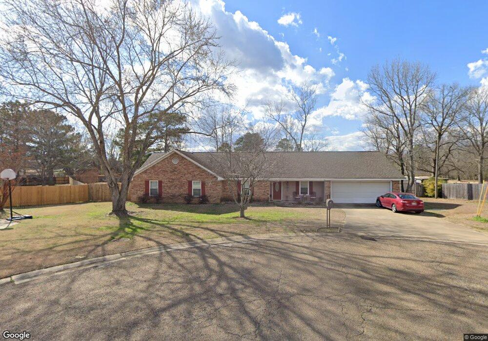
79 Powers Place Columbus, MS 39702
Estimated Value: $289,638 - $357,000
Studio
1
Bath
2,777
Sq Ft
$112/Sq Ft
Est. Value
About This Home
This home is located at 79 Powers Place, Columbus, MS 39702 and is currently estimated at $312,410, approximately $112 per square foot. 79 Powers Place is a home.
Ownership History
Date
Name
Owned For
Owner Type
Purchase Details
Closed on
Nov 16, 2006
Sold by
Solla-Bentley Micheal and Bentley Carolyn L
Bought by
Shepherd Kenneth A and Shepherd Robin Y
Current Estimated Value
Home Financials for this Owner
Home Financials are based on the most recent Mortgage that was taken out on this home.
Original Mortgage
$110,000
Outstanding Balance
$65,166
Interest Rate
6.33%
Estimated Equity
$247,244
Create a Home Valuation Report for This Property
The Home Valuation Report is an in-depth analysis detailing your home's value as well as a comparison with similar homes in the area
Home Values in the Area
Average Home Value in this Area
Purchase History
| Date | Buyer | Sale Price | Title Company |
|---|---|---|---|
| Shepherd Kenneth A | -- | -- |
Source: Public Records
Mortgage History
| Date | Status | Borrower | Loan Amount |
|---|---|---|---|
| Closed | Shepherd Kenneth A | $0 | |
| Open | Shepherd Kenneth A | $110,000 | |
| Previous Owner | Shepherd Kenneth A | $0 |
Source: Public Records
Tax History
| Year | Tax Paid | Tax Assessment Tax Assessment Total Assessment is a certain percentage of the fair market value that is determined by local assessors to be the total taxable value of land and additions on the property. | Land | Improvement |
|---|---|---|---|---|
| 2025 | $1,461 | $17,997 | $0 | $0 |
| 2024 | $1,446 | $17,997 | $0 | $0 |
| 2023 | $1,244 | $15,980 | $0 | $0 |
| 2022 | $1,245 | $15,980 | $0 | $0 |
| 2021 | $1,188 | $15,980 | $0 | $0 |
| 2020 | $1,107 | $15,980 | $0 | $0 |
| 2019 | $1,147 | $15,933 | $0 | $0 |
| 2018 | $1,147 | $15,954 | $0 | $0 |
| 2017 | $1,084 | $15,954 | $0 | $0 |
| 2016 | $1,084 | $15,954 | $0 | $0 |
| 2015 | $1,123 | $16,407 | $0 | $0 |
| 2014 | $1,115 | $16,320 | $0 | $0 |
Source: Public Records
Map
Nearby Homes
- 17 Paige Cove
- 178 Rogers Way
- 164 Sleepy Fawn Park
- 2654 Yorkville Rd E
- 836 Oswalt Rd
- 346 Williams Place
- 220 Woodridge Place
- 16 Jenny Ln
- 262 Center Rd
- 60 1st Colony Dr
- 9 Monticello Cir
- 274 Hughes Rd
- 59 Savannah St
- 91 Wilson Dr
- 0 Fiesta Dr
- 0 Yorkville Rd E
- 76 Richardson Rd
- 479 Bryant Rd
- 0 S Lehmberg Rd
- Lot 3 Lost Lake Hills Rd
Your Personal Tour Guide
Ask me questions while you tour the home.