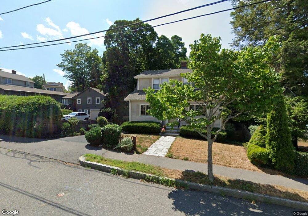
79 Pratt Rd Quincy, MA 02171
Squantum NeighborhoodEstimated Value: $717,696 - $819,000
3
Beds
1
Bath
1,454
Sq Ft
$532/Sq Ft
Est. Value
About This Home
This home is located at 79 Pratt Rd, Quincy, MA 02171 and is currently estimated at $774,174, approximately $532 per square foot. 79 Pratt Rd is a home located in Norfolk County with nearby schools including Squantum Elementary School, Atlantic Middle School, and North Quincy High School.
Create a Home Valuation Report for This Property
The Home Valuation Report is an in-depth analysis detailing your home's value as well as a comparison with similar homes in the area
Home Values in the Area
Average Home Value in this Area
Tax History Compared to Growth
Tax History
| Year | Tax Paid | Tax Assessment Tax Assessment Total Assessment is a certain percentage of the fair market value that is determined by local assessors to be the total taxable value of land and additions on the property. | Land | Improvement |
|---|---|---|---|---|
| 2025 | $7,648 | $663,300 | $375,500 | $287,800 |
| 2024 | $7,245 | $642,900 | $357,600 | $285,300 |
| 2023 | $6,759 | $607,300 | $340,500 | $266,800 |
| 2022 | $6,469 | $540,000 | $283,800 | $256,200 |
| 2021 | $6,440 | $530,500 | $283,800 | $246,700 |
| 2020 | $5,848 | $470,500 | $258,000 | $212,500 |
| 2019 | $5,594 | $445,700 | $258,000 | $187,700 |
| 2018 | $5,686 | $426,200 | $245,700 | $180,500 |
| 2017 | $5,468 | $385,900 | $213,700 | $172,200 |
| 2016 | $5,223 | $363,700 | $194,200 | $169,500 |
| 2015 | $5,022 | $344,000 | $194,200 | $149,800 |
| 2014 | $4,819 | $324,300 | $194,200 | $130,100 |
Source: Public Records
Map
Nearby Homes
- 22 Winslow Rd
- 15 Huckins Ave
- 1 Parke Ave
- 2 Parke Ave
- 153 Bayside Rd
- 15 Knollwood Rd
- 19 Knollwood Rd
- 63 Crabtree Rd
- 116 Crabtree Rd
- 19 Harbourside Rd Unit 19
- 6 Schooner Ln
- 10 Sloop Ln
- 9 Whaler Ln
- 1001 Marina Dr Unit 801
- 1001 Marina Dr Unit 213
- 1001 Marina Dr Unit 612
- 2001 Marina Dr Unit 506W
- 2001 Marina Dr Unit 211
- 25 Tilden Commons Dr
- 10 Seaport Dr Unit 2311