79 Railstone Dr Southbury, CT 06488
Estimated Value: $669,372 - $756,000
4
Beds
3
Baths
2,656
Sq Ft
$266/Sq Ft
Est. Value
About This Home
This home is located at 79 Railstone Dr, Southbury, CT 06488 and is currently estimated at $707,093, approximately $266 per square foot. 79 Railstone Dr is a home located in New Haven County with nearby schools including Long Meadow Elementary School, Memorial Middle School, and Pomperaug Regional High School.
Ownership History
Date
Name
Owned For
Owner Type
Purchase Details
Closed on
Mar 31, 2004
Sold by
Armstrong David and Armstrong Patricia
Bought by
Ceccolini John and Ceccolini Suzanne
Current Estimated Value
Home Financials for this Owner
Home Financials are based on the most recent Mortgage that was taken out on this home.
Original Mortgage
$390,350
Outstanding Balance
$182,412
Interest Rate
5.56%
Estimated Equity
$524,681
Purchase Details
Closed on
Aug 1, 1995
Sold by
Yonych Stephen
Bought by
Armstrong David and Armstrong Patricia
Home Financials for this Owner
Home Financials are based on the most recent Mortgage that was taken out on this home.
Original Mortgage
$200,000
Interest Rate
7.56%
Mortgage Type
Unknown
Create a Home Valuation Report for This Property
The Home Valuation Report is an in-depth analysis detailing your home's value as well as a comparison with similar homes in the area
Home Values in the Area
Average Home Value in this Area
Purchase History
| Date | Buyer | Sale Price | Title Company |
|---|---|---|---|
| Ceccolini John | $488,000 | -- | |
| Armstrong David | $292,000 | -- |
Source: Public Records
Mortgage History
| Date | Status | Borrower | Loan Amount |
|---|---|---|---|
| Open | Armstrong David | $390,350 | |
| Previous Owner | Armstrong David | $186,041 | |
| Previous Owner | Armstrong David | $188,824 | |
| Previous Owner | Armstrong David | $200,000 |
Source: Public Records
Tax History Compared to Growth
Tax History
| Year | Tax Paid | Tax Assessment Tax Assessment Total Assessment is a certain percentage of the fair market value that is determined by local assessors to be the total taxable value of land and additions on the property. | Land | Improvement |
|---|---|---|---|---|
| 2025 | $9,015 | $372,540 | $99,380 | $273,160 |
| 2024 | $8,792 | $372,540 | $99,380 | $273,160 |
| 2023 | $8,382 | $372,540 | $99,380 | $273,160 |
| 2022 | $8,148 | $284,500 | $103,230 | $181,270 |
| 2021 | $8,151 | $278,180 | $103,230 | $174,950 |
| 2020 | $8,151 | $278,180 | $103,230 | $174,950 |
| 2019 | $8,095 | $278,180 | $103,230 | $174,950 |
| 2018 | $8,067 | $278,180 | $103,230 | $174,950 |
| 2017 | $9,444 | $322,320 | $131,570 | $190,750 |
| 2016 | $9,283 | $322,320 | $131,570 | $190,750 |
| 2015 | $9,154 | $322,320 | $131,570 | $190,750 |
| 2014 | $8,896 | $322,320 | $131,570 | $190,750 |
Source: Public Records
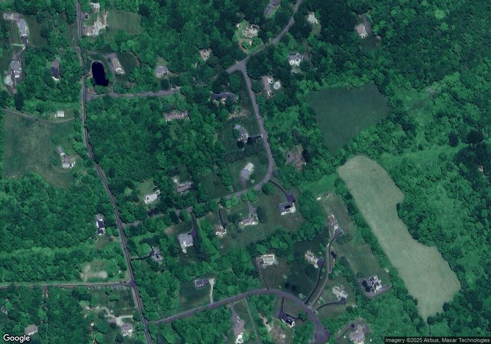
Map
Nearby Homes
- 308 Vista View Dr
- 324 Luther Dr
- 369 Strongtown Rd
- 919 Strongtown Rd
- 122 Strongtown Rd
- 146 Lantern Park Ln S
- 1088 Old Waterbury Rd
- 201 Forest Rd
- 623 Southford Rd
- 35 Far View Commons Unit 35
- 60 Far View Commons Unit 60
- 216 Hulls Hill Rd
- 795 Old Waterbury Rd
- 70 Diamond Match Rd
- 183 Hulls Hill Rd
- 20 Oakcrest Rd
- 20 Lantern Park Ln S
- 541 Benson Rd
- 633 Old Waterbury Rd
- 380 Old Waterbury Rd Unit 17
- 123 Railstone Dr
- 41 Railstone Dr
- 72 Railstone Dr
- 88 Railstone Dr
- 52 Railstone Dr
- 116 Railstone Dr
- 84 Homestead Rd
- 52 Homestead Rd
- 32 Railstone Dr
- 79 Overton Farm Rd
- 152 Railstone Dr
- 25 Railstone Dr
- 95 Overton Farm Rd
- 91 Overton Farm Rd
- 1737 Bucks Hill Rd
- 37 Overton Farm Rd
- 45 Homestead Rd
- 71 Homestead Rd
- 130 Homestead Rd
- 263 Homestead Rd