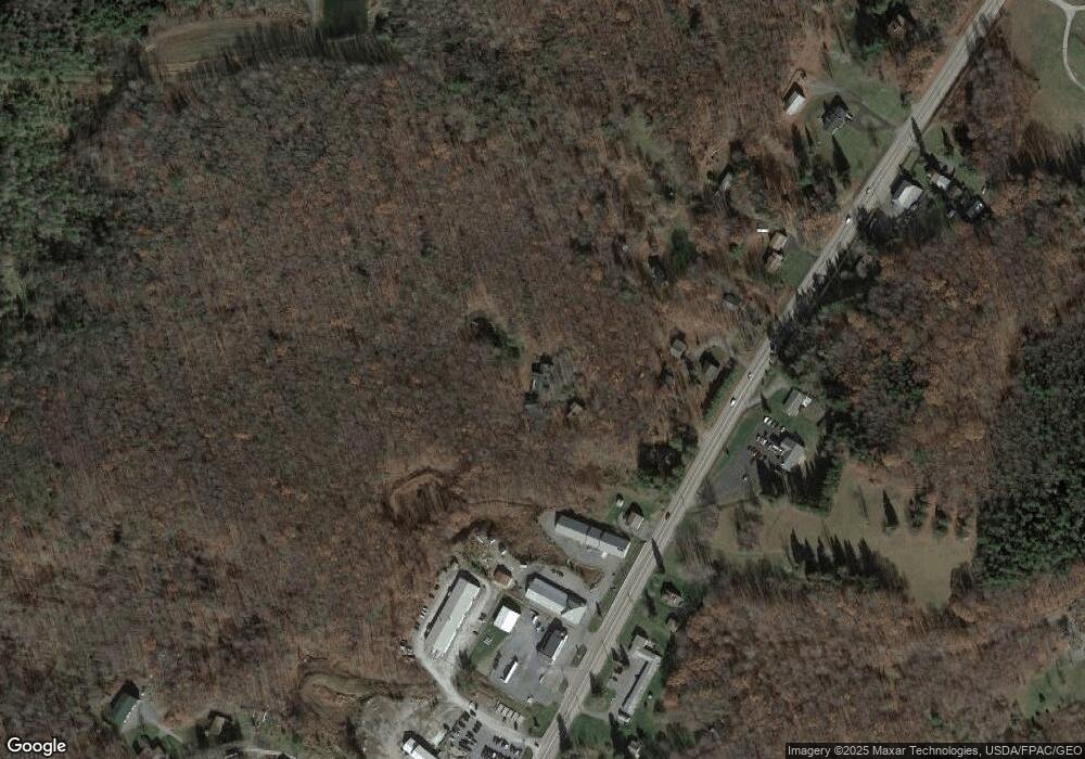
79 Ramsey Ln Oakland, MD 21550
Estimated Value: $200,000 - $337,000
--
Bed
3
Baths
1,080
Sq Ft
$237/Sq Ft
Est. Value
About This Home
This home is located at 79 Ramsey Ln, Oakland, MD 21550 and is currently estimated at $255,800, approximately $236 per square foot. 79 Ramsey Ln is a home located in Garrett County with nearby schools including Broad Ford Elementary School, Southern Middle School, and Southern Garrett High School.
Ownership History
Date
Name
Owned For
Owner Type
Purchase Details
Closed on
Sep 26, 2025
Sold by
Newton Robert W and Mcclure Laura N
Bought by
B & K Holdings Llc
Current Estimated Value
Purchase Details
Closed on
Jul 13, 2005
Sold by
Morel and Donald S
Bought by
Newton Robert W
Purchase Details
Closed on
Nov 3, 2000
Sold by
Stonesifer James H
Bought by
Moreland Donald S and Moreland Robin L
Purchase Details
Closed on
Mar 13, 1989
Sold by
Cross Edward and Cross Esther V
Bought by
Stonesifer James H
Create a Home Valuation Report for This Property
The Home Valuation Report is an in-depth analysis detailing your home's value as well as a comparison with similar homes in the area
Home Values in the Area
Average Home Value in this Area
Purchase History
| Date | Buyer | Sale Price | Title Company |
|---|---|---|---|
| B & K Holdings Llc | $75,000 | Deep Creek Title | |
| Newton Robert W | $110,000 | -- | |
| Moreland Donald S | $60,000 | -- | |
| Stonesifer James H | $41,000 | -- |
Source: Public Records
Mortgage History
| Date | Status | Borrower | Loan Amount |
|---|---|---|---|
| Closed | Moreland Donald S | -- |
Source: Public Records
Tax History Compared to Growth
Tax History
| Year | Tax Paid | Tax Assessment Tax Assessment Total Assessment is a certain percentage of the fair market value that is determined by local assessors to be the total taxable value of land and additions on the property. | Land | Improvement |
|---|---|---|---|---|
| 2025 | $1,446 | $122,300 | $33,300 | $89,000 |
| 2024 | $1,426 | $116,100 | $0 | $0 |
| 2023 | $1,361 | $109,900 | $0 | $0 |
| 2022 | $1,294 | $103,700 | $32,900 | $70,800 |
| 2021 | $1,304 | $103,667 | $0 | $0 |
| 2020 | $1,304 | $103,633 | $0 | $0 |
| 2019 | $1,303 | $103,600 | $32,900 | $70,700 |
| 2018 | $1,235 | $103,600 | $32,900 | $70,700 |
| 2017 | $1,225 | $103,600 | $0 | $0 |
| 2016 | -- | $103,800 | $0 | $0 |
| 2015 | -- | $103,800 | $0 | $0 |
| 2014 | -- | $103,800 | $0 | $0 |
Source: Public Records
Map
Nearby Homes
- 3930 Mayhew Inn Rd
- 444 Woodlands Hill Ln
- 0 Lot 29 Briarwood Ln Unit MDGA2008894
- 0 Lot 28 Briarwood Ln Unit MDGA2008896
- 4 Laurel Brook Dr
- 180 Mystic Creek Trail Unit 3A
- 94 Meadow Ct
- 0 Lake Shore Dr Unit MDGA2010464
- 0 Longview Ln
- 77 Meadow Ct
- 2463 Mayhew Inn Rd
- 0 Meadow Ct Unit MDGA2010558
- 66 Paradise Ridge Rd
- 0 Paradise Point Rd Unit MDGA2003916
- 180 Paradise Ridge Rd
- 56 Bee Tree Ln
- 1006 Lake Shore Dr
- 41 Boyd Paugh Ln
- 1118 Lake Shore Dr
- 272 McComas Beach Terrace
- Garrett Hwy
- 57 Ramsey Ln
- 0 Ramsey Ln
- 17869 Garrett Hwy
- 17979 Garrett Hwy
- 18089 Garrett Hwy
- 17921 Garrett Hwy
- 17955 Garrett Hwy
- 18025 Garrett Hwy
- 18025B Garrett Hwy
- 18025 Garrett Hwy
- 18025 Garrett Hwy Unit C
- 18025 Garrett Hwy Unit CABIN A
- 17801 Garrett Hwy
- 17863 Garrett Hwy
- 18071 Garrett Hwy
- 17894 Garrett Hwy
- 18091 Garrett Hwy
- 18012 Garrett Hwy
- 17848 Garrett Hwy
