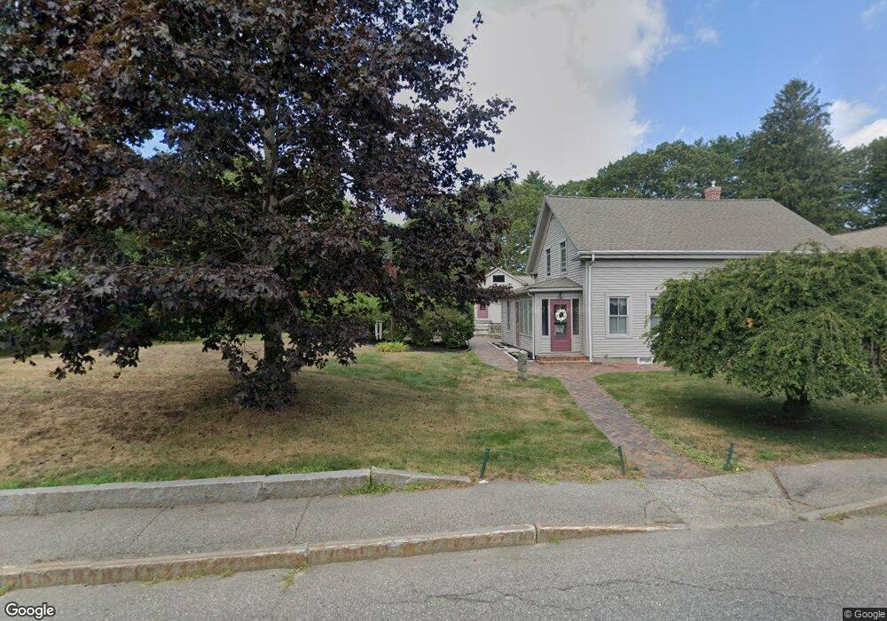
79 Rogers Rd Kittery, ME 03904
Estimated Value: $895,000 - $1,477,000
3
Beds
3
Baths
3,298
Sq Ft
$327/Sq Ft
Est. Value
About This Home
This home is located at 79 Rogers Rd, Kittery, ME 03904 and is currently estimated at $1,077,407, approximately $326 per square foot. 79 Rogers Rd is a home with nearby schools including Shapleigh School, Horace Mitchell Primary School, and Robert W Traip Academy.
Ownership History
Date
Name
Owned For
Owner Type
Purchase Details
Closed on
Feb 3, 2020
Sold by
Roberge Ann F
Bought by
Ann F Roberge Ret 2016
Current Estimated Value
Purchase Details
Closed on
Jun 3, 2016
Sold by
Roberge Ann F
Bought by
Ann F Roberge Ret and Roberge
Purchase Details
Closed on
May 30, 2012
Sold by
Johnson Richard D
Bought by
Lady Slipper Props Llc
Purchase Details
Closed on
Oct 17, 2006
Sold by
Lancaster Carol F and Mercer Gary L
Bought by
Johnson Richard D
Create a Home Valuation Report for This Property
The Home Valuation Report is an in-depth analysis detailing your home's value as well as a comparison with similar homes in the area
Home Values in the Area
Average Home Value in this Area
Purchase History
| Date | Buyer | Sale Price | Title Company |
|---|---|---|---|
| Ann F Roberge Ret 2016 | -- | None Available | |
| Ann F Roberge Ret 2016 | -- | None Available | |
| Roberge Ann F | -- | None Available | |
| Roberge Ann F | -- | None Available | |
| Lady Slipper Ret | -- | None Available | |
| Lady Slipper Ret | -- | None Available | |
| Ann F Roberge Ret 2016 | -- | None Available | |
| Roberge Ann F | -- | None Available | |
| Lady Slipper Ret | -- | None Available | |
| Ann F Roberge Ret | -- | -- | |
| Ann F Roberge Ret | -- | -- | |
| Lady Slipper Props Llc | -- | -- | |
| Lady Slipper Props Llc | -- | -- | |
| Johnson Richard D | -- | -- | |
| Johnson Richard D | -- | -- |
Source: Public Records
Tax History
| Year | Tax Paid | Tax Assessment Tax Assessment Total Assessment is a certain percentage of the fair market value that is determined by local assessors to be the total taxable value of land and additions on the property. | Land | Improvement |
|---|---|---|---|---|
| 2024 | $7,638 | $537,900 | $141,000 | $396,900 |
| 2023 | $7,321 | $537,900 | $141,000 | $396,900 |
| 2022 | $7,251 | $537,900 | $141,000 | $396,900 |
| 2021 | $6,993 | $537,900 | $141,000 | $396,900 |
| 2020 | $6,939 | $537,900 | $141,000 | $396,900 |
| 2019 | $6,708 | $385,500 | $71,900 | $313,600 |
| 2018 | $6,476 | $385,500 | $71,900 | $313,600 |
| 2017 | $6,361 | $385,500 | $71,900 | $313,600 |
| 2016 | $6,187 | $385,500 | $71,900 | $313,600 |
| 2015 | $6,041 | $385,500 | $71,900 | $313,600 |
| 2014 | $5,983 | $385,500 | $71,900 | $313,600 |
| 2013 | $5,867 | $385,500 | $71,900 | $313,600 |
Source: Public Records
Map
Nearby Homes
- 4 Trefethen Ave
- 29 Main St
- 12 Gillis Dr Unit 3
- 30-3 Regency Cir Unit 3
- 100 Shepard's Cove Rd Unit H305
- 100 Shepard's Cove Rd Unit G107
- 100 Shepards Cove Rd Unit H301
- 8 Spruce Point Rd
- 5 Spinney Way Unit 9
- 27 Oak Terrace
- 25 Oak Terrace
- 35 Badgers Island W Unit 203
- 35 Badgers Island W Unit 301
- 35 Badgers Island W Unit 302
- 35 Badgers Island W Unit 103
- 10 Bayview Ln
- 19 Aspen Cir
- 36 State St
- 66 State St Unit 202
- 137 Daniel St Unit D302
Your Personal Tour Guide
Ask me questions while you tour the home.