79 Rr 3 Okemah, OK 74859
Estimated Value: $296,000 - $1,046,000
2
Beds
1
Bath
1,536
Sq Ft
$497/Sq Ft
Est. Value
About This Home
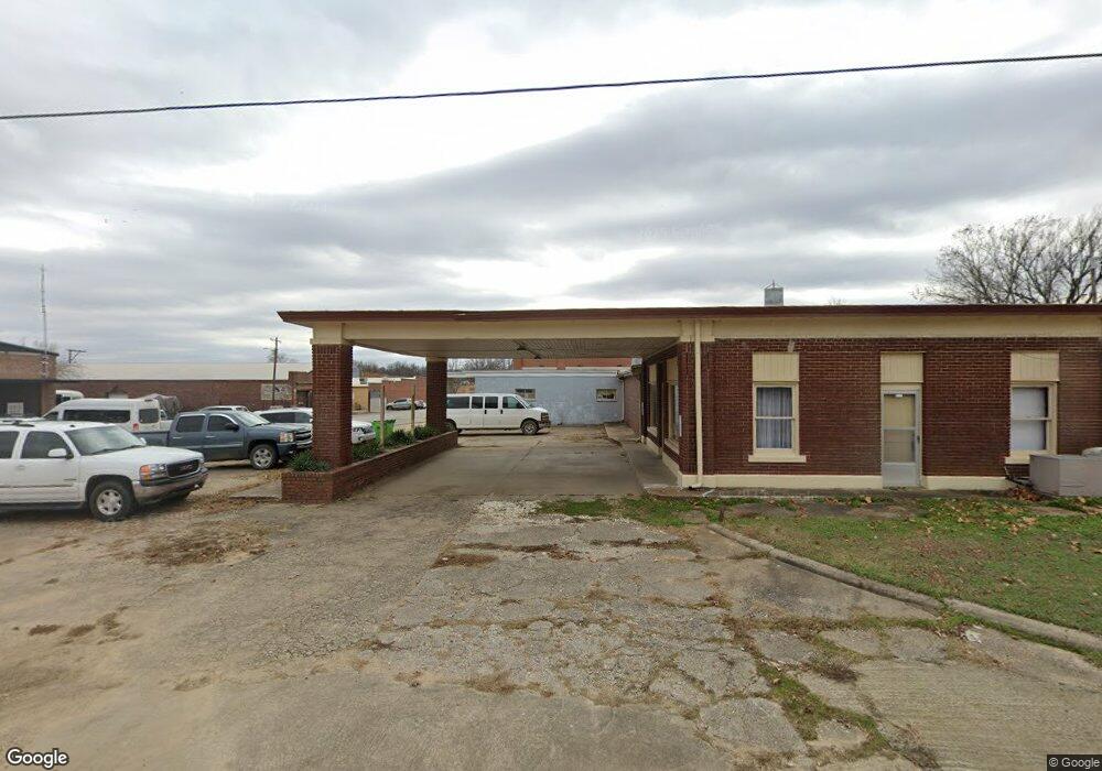
This home is located at 79 Rr 3, Okemah, OK 74859 and is currently estimated at $763,139, approximately $496 per square foot. 79 Rr 3 is a home located in Okfuskee County with nearby schools including Oakes Elementary School, Okemah Middle School, and Okemah High School.
Ownership History
Date
Name
Owned For
Owner Type
Purchase Details
Closed on
Oct 29, 2021
Sold by
Cline Jr William E and Cline Leresa
Bought by
Paakkonen Kelly Carl and Paakkonen Myrna Yvonne
Current Estimated Value
Home Financials for this Owner
Home Financials are based on the most recent Mortgage that was taken out on this home.
Original Mortgage
$450,000
Outstanding Balance
$412,350
Interest Rate
3.14%
Estimated Equity
$350,789
Purchase Details
Closed on
Sep 27, 2015
Sold by
Cline William E and Cline Leresa
Bought by
Cline William E and Cline Leresa
Create a Home Valuation Report for This Property
The Home Valuation Report is an in-depth analysis detailing your home's value as well as a comparison with similar homes in the area
Home Values in the Area
Average Home Value in this Area
Purchase History
| Date | Buyer | Sale Price | Title Company |
|---|---|---|---|
| Paakkonen Kelly Carl | -- | New Title Company Name | |
| Cline William E | $170,000 | None Available |
Source: Public Records
Mortgage History
| Date | Status | Borrower | Loan Amount |
|---|---|---|---|
| Open | Paakkonen Kelly Carl | $450,000 |
Source: Public Records
Tax History Compared to Growth
Tax History
| Year | Tax Paid | Tax Assessment Tax Assessment Total Assessment is a certain percentage of the fair market value that is determined by local assessors to be the total taxable value of land and additions on the property. | Land | Improvement |
|---|---|---|---|---|
| 2025 | $1,353 | $13,717 | $4,157 | $9,560 |
| 2024 | $1,353 | $13,317 | $4,157 | $9,160 |
| 2023 | $1,256 | $12,930 | $4,157 | $8,773 |
| 2022 | $9,362 | $93,500 | $4,157 | $89,343 |
| 2021 | $1,147 | $12,326 | $4,157 | $8,169 |
| 2020 | $1,284 | $13,318 | $4,021 | $9,297 |
| 2019 | $822 | $8,735 | $4,021 | $4,714 |
| 2018 | $778 | $8,481 | $4,021 | $4,460 |
| 2017 | $868 | $8,234 | $4,021 | $4,213 |
| 2016 | $880 | $8,234 | $4,021 | $4,213 |
| 2015 | $751 | $7,764 | $4,021 | $3,743 |
| 2014 | $641 | $7,748 | $4,021 | $3,727 |
Source: Public Records
Map
Nearby Homes
- 381078 W 1110 Rd
- 2 N 3800 Rd
- 111110 N 3790 Rd
- 111168 N 3790 Rd
- E 1140 Rd
- TBD E 1140 Rd
- 160±ac N 3820 Rd
- 378009 E 1130 Rd
- 108174 N 3818 Rd
- 379022 Old Highway 62
- 377050 E 1110 Rd
- 715 E Coplin St
- 1720 E Columbia St
- 000 Old Us Hwy 62
- 0 Old Us Hwy 62
- 385157 Old Highway 62
- 915 E Boston St
- 210 E Date St
- 5 E1100 Rd
- 050 U S Highway 62