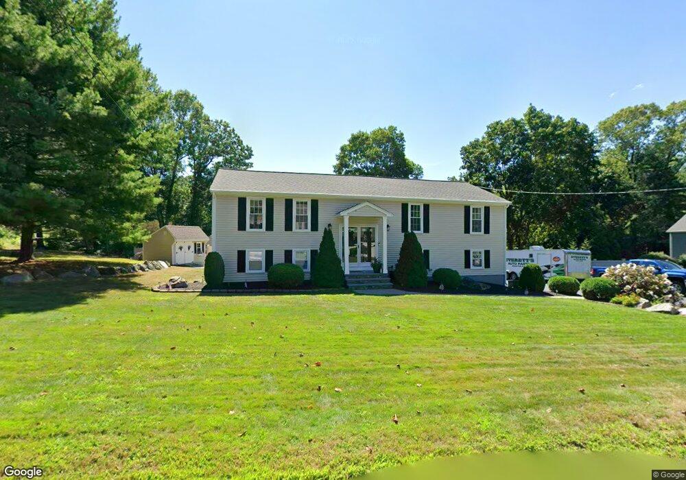
79 Ryder Cir North Attleboro, MA 02760
North Attleboro NeighborhoodEstimated Value: $599,000 - $678,000
3
Beds
2
Baths
1,300
Sq Ft
$489/Sq Ft
Est. Value
About This Home
This home is located at 79 Ryder Cir, North Attleboro, MA 02760 and is currently estimated at $636,077, approximately $489 per square foot. 79 Ryder Cir is a home located in Bristol County with nearby schools including North Attleboro High School and Cadence Academy Preschool - North Attleborough.
Ownership History
Date
Name
Owned For
Owner Type
Purchase Details
Closed on
Jun 14, 1996
Sold by
Miconi Joseph F
Bought by
Estrella Barry S and Estrella Deborah A
Current Estimated Value
Create a Home Valuation Report for This Property
The Home Valuation Report is an in-depth analysis detailing your home's value as well as a comparison with similar homes in the area
Home Values in the Area
Average Home Value in this Area
Purchase History
| Date | Buyer | Sale Price | Title Company |
|---|---|---|---|
| Estrella Barry S | $138,900 | -- |
Source: Public Records
Mortgage History
| Date | Status | Borrower | Loan Amount |
|---|---|---|---|
| Open | Estrella Barry S | $250,000 | |
| Closed | Estrella Barry S | $218,000 | |
| Closed | Estrella Barry S | $163,000 |
Source: Public Records
Tax History Compared to Growth
Tax History
| Year | Tax Paid | Tax Assessment Tax Assessment Total Assessment is a certain percentage of the fair market value that is determined by local assessors to be the total taxable value of land and additions on the property. | Land | Improvement |
|---|---|---|---|---|
| 2025 | $6,052 | $513,300 | $150,600 | $362,700 |
| 2024 | $5,777 | $500,600 | $150,600 | $350,000 |
| 2023 | $5,991 | $468,400 | $150,600 | $317,800 |
| 2022 | $5,743 | $412,300 | $150,600 | $261,700 |
| 2021 | $5,544 | $388,500 | $150,600 | $237,900 |
| 2020 | $5,387 | $375,400 | $150,600 | $224,800 |
| 2019 | $5,146 | $361,400 | $136,900 | $224,500 |
| 2018 | $4,570 | $342,600 | $136,900 | $205,700 |
| 2017 | $4,356 | $329,500 | $136,900 | $192,600 |
| 2016 | $4,209 | $318,400 | $152,100 | $166,300 |
| 2015 | $3,912 | $297,700 | $152,100 | $145,600 |
| 2014 | $3,698 | $279,300 | $133,500 | $145,800 |
Source: Public Records
Map
Nearby Homes
- 34 Hawthorne St
- 64 Smith St
- 35-R Whiting St
- 2 Franklin Ave
- 271 N Washington St
- 194 Smith St
- 835 Mt Hope St Unit 39
- 157 Fisher St
- 45 Moran St
- 39 Columbia St
- 633 E Washington St Unit 17
- 12 Houde St
- 0 Landry 2nd Unit 73350867
- 105 East St
- 68 N Washington St Unit 210
- 711 Mount Hope St Unit 13
- 711 Mount Hope St Unit 8
- 711 Mount Hope St Unit 11
- 711 Mount Hope St Unit 12
- 711 Mount Hope St Unit 15