79 S Glenn Rd Lagrange, GA 30241
Estimated Value: $145,000 - $206,000
3
Beds
1
Bath
1,104
Sq Ft
$158/Sq Ft
Est. Value
About This Home
This home is located at 79 S Glenn Rd, Lagrange, GA 30241 and is currently estimated at $174,868, approximately $158 per square foot. 79 S Glenn Rd is a home located in Troup County with nearby schools including Rosemont Elementary School, Whitesville Road Elementary School, and Berta Weathersbee Elementary School.
Ownership History
Date
Name
Owned For
Owner Type
Purchase Details
Closed on
Sep 13, 2007
Sold by
Sams Penny Brown
Bought by
Abbott Rose
Current Estimated Value
Purchase Details
Closed on
Jan 6, 2002
Sold by
Brown Wendell
Bought by
Penny Brown
Purchase Details
Closed on
Aug 5, 1997
Sold by
John Carter
Bought by
Brown Wendell
Purchase Details
Closed on
May 16, 1995
Sold by
Inez Rose Eley
Bought by
John Carter
Purchase Details
Closed on
Jan 27, 1994
Sold by
Brown Brown and Brown Carter
Bought by
Inez Rose Eley
Purchase Details
Closed on
Apr 11, 1990
Bought by
Brown Brown and Brown Carter
Purchase Details
Closed on
Apr 10, 1990
Sold by
Marion Tarwater
Create a Home Valuation Report for This Property
The Home Valuation Report is an in-depth analysis detailing your home's value as well as a comparison with similar homes in the area
Home Values in the Area
Average Home Value in this Area
Purchase History
| Date | Buyer | Sale Price | Title Company |
|---|---|---|---|
| Abbott Rose | $58,660 | -- | |
| Penny Brown | -- | -- | |
| Brown Wendell | $46,600 | -- | |
| John Carter | $60,000 | -- | |
| Inez Rose Eley | -- | -- | |
| Brown Brown | -- | -- | |
| -- | -- | -- |
Source: Public Records
Tax History Compared to Growth
Tax History
| Year | Tax Paid | Tax Assessment Tax Assessment Total Assessment is a certain percentage of the fair market value that is determined by local assessors to be the total taxable value of land and additions on the property. | Land | Improvement |
|---|---|---|---|---|
| 2024 | $1,081 | $39,632 | $14,080 | $25,552 |
| 2023 | $927 | $33,992 | $14,080 | $19,912 |
| 2022 | $856 | $30,672 | $11,960 | $18,712 |
| 2021 | $819 | $27,140 | $12,480 | $14,660 |
| 2020 | $819 | $27,140 | $12,480 | $14,660 |
| 2019 | $816 | $27,060 | $12,480 | $14,580 |
| 2018 | $775 | $25,712 | $12,480 | $13,232 |
| 2017 | $775 | $25,712 | $12,480 | $13,232 |
| 2016 | $763 | $25,299 | $12,511 | $12,788 |
| 2015 | $764 | $25,299 | $12,511 | $12,788 |
| 2014 | $745 | $24,626 | $12,511 | $12,115 |
| 2013 | -- | $25,546 | $12,511 | $13,035 |
Source: Public Records
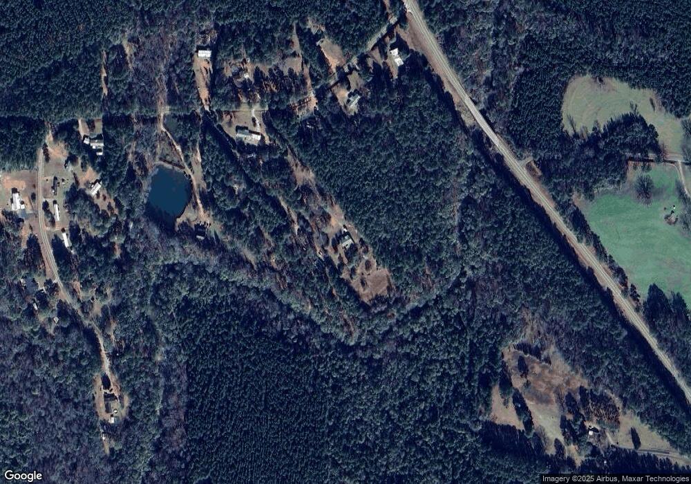
Map
Nearby Homes
- 0 Smokey Rd Unit 10570471
- 430 Briley Rd
- 37.23 ACRES / 0 Smokey Rd
- 5656 Hamilton Rd
- 5656 Hamilton Rd
- 0 Jim Perry Rd Unit 25773088
- 0 Briley Rd Unit 10582531
- 0 Briley Rd Unit 214353
- 783 Rosemont Rd
- 15 Frost School Rd
- 96 Old Chipley Rd
- 186 Old Chipley Rd
- 36+ ACRES Wadley St
- 574 Old Chipley Rd
- 417 Tucker Rd
- 0 Leisure Cir Unit 10589963
- 0 Leisure Cir Unit 217995
- 119 Robertson Rd
- 1144 Oak Grove Rd
- 0 Pine Dr Unit 10310062
- 101 S Glenn Rd
- 67 S Glenn Rd
- 139 S Glenn Rd
- 89 S Glenn Rd
- S S Glenn Rd
- S S Glenn Rd Unit 6
- 88 S Glenn Rd
- 29 S Glenn Rd
- 44 S Glenn Rd
- 143 S Glenn Rd
- 247 S Glenn Rd
- 271 S Glenn Rd
- 158 S Glenn Rd
- 268 S Glenn Rd
- 264 S Glenn Rd
- 4 Hamby Rd
- 216 S Glenn Rd
- 1233 Stovall Rd
- 0 Hamby Rd Unit 7632111
- 62 Hamby Rd