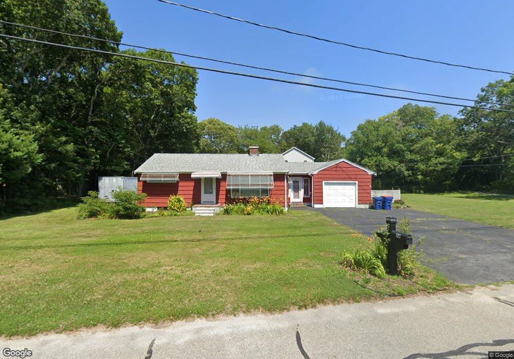
79 Shaw Rd Fairhaven, MA 02719
East Fairhaven NeighborhoodEstimated Value: $397,000 - $454,000
2
Beds
1
Bath
864
Sq Ft
$493/Sq Ft
Est. Value
About This Home
This home is located at 79 Shaw Rd, Fairhaven, MA 02719 and is currently estimated at $425,880, approximately $492 per square foot. 79 Shaw Rd is a home located in Bristol County with nearby schools including Fairhaven High School and St. Joseph School.
Ownership History
Date
Name
Owned For
Owner Type
Purchase Details
Closed on
Apr 8, 2021
Sold by
Bariteau Natalie D
Bought by
Natalic D Bariteau Lt
Current Estimated Value
Purchase Details
Closed on
Jan 17, 2019
Sold by
Palmer Elizabeth
Bought by
Bariteau Natalie D
Purchase Details
Closed on
Oct 5, 2018
Sold by
Peter Bariteau Irt
Bought by
Bariteau Natalie D
Purchase Details
Closed on
Mar 12, 2009
Sold by
Bariteau Peter J
Bought by
Peter Bariteau Irt
Create a Home Valuation Report for This Property
The Home Valuation Report is an in-depth analysis detailing your home's value as well as a comparison with similar homes in the area
Home Values in the Area
Average Home Value in this Area
Purchase History
| Date | Buyer | Sale Price | Title Company |
|---|---|---|---|
| Natalic D Bariteau Lt | -- | None Available | |
| Bariteau Natalie D | -- | -- | |
| Palmer Elizabeth | -- | -- | |
| Bariteau Natalie D | -- | -- | |
| Peter Bariteau Irt | -- | -- |
Source: Public Records
Tax History
| Year | Tax Paid | Tax Assessment Tax Assessment Total Assessment is a certain percentage of the fair market value that is determined by local assessors to be the total taxable value of land and additions on the property. | Land | Improvement |
|---|---|---|---|---|
| 2025 | $31 | $336,500 | $181,000 | $155,500 |
| 2024 | $2,957 | $320,400 | $181,000 | $139,400 |
| 2023 | $2,831 | $284,500 | $158,800 | $125,700 |
| 2022 | $2,696 | $263,800 | $147,700 | $116,100 |
| 2021 | $2,567 | $227,400 | $133,800 | $93,600 |
| 2020 | $2,515 | $227,400 | $133,800 | $93,600 |
| 2019 | $2,370 | $203,100 | $111,300 | $91,800 |
| 2018 | $2,267 | $192,900 | $106,100 | $86,800 |
| 2017 | $2,262 | $187,900 | $106,100 | $81,800 |
| 2016 | $2,244 | $184,200 | $106,100 | $78,100 |
| 2015 | $2,213 | $182,100 | $106,100 | $76,000 |
Source: Public Records
Map
Nearby Homes
- 3 Earle St
- 421 Huttleston Ave
- 0 Whalers Way
- 28 Brant Beach Ave
- 0 Marina Dr Unit 72497908
- 0 Marina Dr Unit 72497877
- 41 Starboard Way
- 33 Narragansett Blvd
- 3.5 Golf St
- 190 Sconticut Neck Rd
- 1 Harvard St
- 15 Bayview Ave
- 27 Bayview Ave
- 58 Bayview Ave
- 9 Hitching Post Rd
- 0 Harbor Acres Ln - Lot B
- 15 Hitching Post Rd
- 21 Hitching Post Rd
- 13 Park Place
- 35 North St