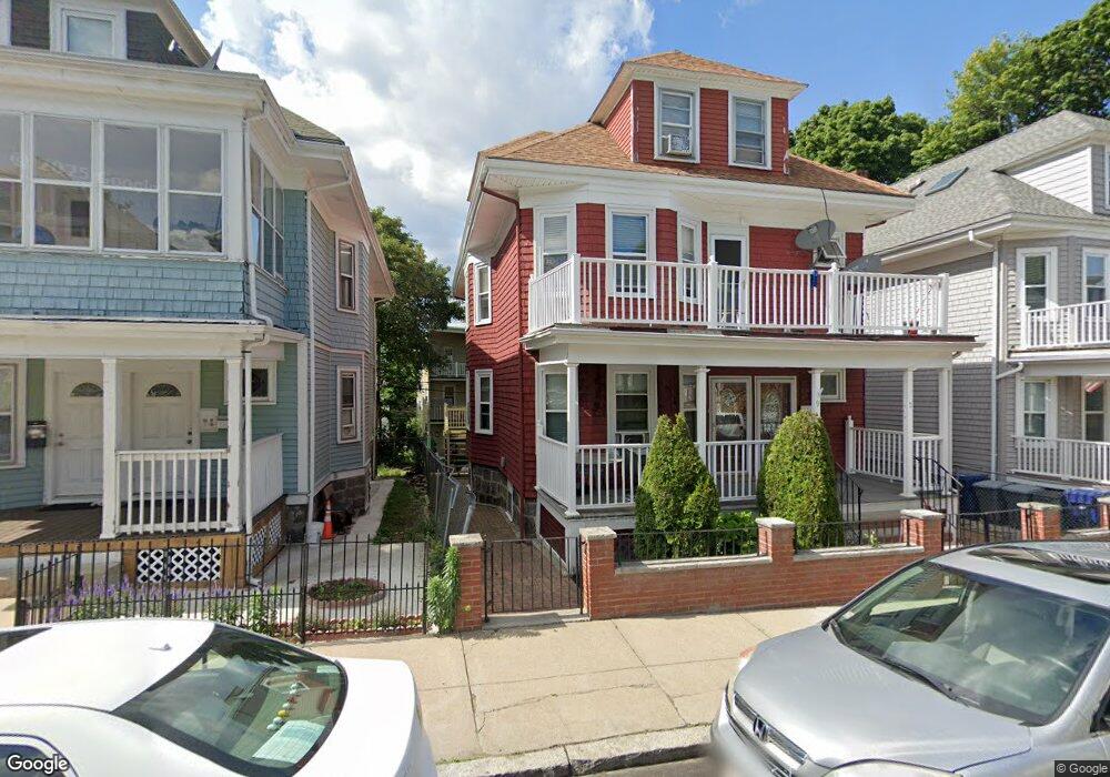
79 Spaulding St Dorchester, MA 02122
Neponset-Port Norfolk NeighborhoodEstimated Value: $972,326 - $1,092,000
4
Beds
2
Baths
2,857
Sq Ft
$359/Sq Ft
Est. Value
About This Home
This home is located at 79 Spaulding St, Dorchester, MA 02122 and is currently estimated at $1,025,832, approximately $359 per square foot. 79 Spaulding St is a home located in Suffolk County with nearby schools including Neighborhood House Charter School and Helen Y. Davis Leadership Academy Charter Public School.
Ownership History
Date
Name
Owned For
Owner Type
Purchase Details
Closed on
Aug 14, 2024
Sold by
Zou Hengzhi and Zou Kenneth
Bought by
Zou Kenneth and Hong Xuefei
Current Estimated Value
Purchase Details
Closed on
Jan 2, 1996
Sold by
Quirk Marguerite A
Bought by
Halliday Ursula V
Home Financials for this Owner
Home Financials are based on the most recent Mortgage that was taken out on this home.
Original Mortgage
$128,250
Interest Rate
7.33%
Mortgage Type
Purchase Money Mortgage
Create a Home Valuation Report for This Property
The Home Valuation Report is an in-depth analysis detailing your home's value as well as a comparison with similar homes in the area
Home Values in the Area
Average Home Value in this Area
Purchase History
| Date | Buyer | Sale Price | Title Company |
|---|---|---|---|
| Zou Kenneth | -- | None Available | |
| Zou Kenneth | -- | None Available | |
| Zou Kenneth | -- | None Available | |
| Halliday Ursula V | $135,000 | -- | |
| Halliday Ursula V | $135,000 | -- |
Source: Public Records
Mortgage History
| Date | Status | Borrower | Loan Amount |
|---|---|---|---|
| Previous Owner | Halliday Ursula V | $128,250 |
Source: Public Records
Tax History
| Year | Tax Paid | Tax Assessment Tax Assessment Total Assessment is a certain percentage of the fair market value that is determined by local assessors to be the total taxable value of land and additions on the property. | Land | Improvement |
|---|---|---|---|---|
| 2025 | $9,750 | $842,000 | $236,800 | $605,200 |
| 2024 | $9,323 | $855,300 | $247,800 | $607,500 |
| 2023 | $8,588 | $799,600 | $231,700 | $567,900 |
| 2022 | $8,366 | $768,900 | $222,800 | $546,100 |
| 2021 | $7,814 | $732,300 | $212,200 | $520,100 |
| 2020 | $6,991 | $662,000 | $188,600 | $473,400 |
| 2019 | $6,461 | $613,000 | $144,100 | $468,900 |
| 2018 | $6,297 | $600,900 | $144,100 | $456,800 |
| 2017 | $5,784 | $546,200 | $144,100 | $402,100 |
| 2016 | $5,564 | $505,800 | $144,100 | $361,700 |
| 2015 | $4,923 | $406,500 | $120,400 | $286,100 |
| 2014 | $4,433 | $352,400 | $120,400 | $232,000 |
Source: Public Records
Map
Nearby Homes
- 131 King St Unit 3
- 12 Thelma Rd Unit 3
- 385 Centre St Unit 1
- 382 Adams St Unit 384-1
- 34 Houghton St
- 60 Houghton St Unit 62
- 42 Westglow St
- 150 Wrentham St Unit 9
- 495-497 Ashmont St Unit 1
- 125 Wrentham St Unit 1
- 18 Parkman St Unit 2
- 572 Freeport St Unit 103
- 40 Mckone St Unit 1
- 37 Msgr Patrick j Lydon Way
- 49 Coffey St Unit 51
- 18 Santuit St
- 7 Burgoyne St Unit 1
- 46 Everdean St
- 30 Park St Unit 4
- 9 Wrentham St Unit n/a
- 5 Spaulding St Unit 1
- 5 Spaulding St Unit 2
- 5 Spaulding St
- 3 Spaulding St Unit B
- 3 Spaulding St Unit 2
- 11 Spaulding St Unit 15
- 15 Spaulding St Unit 15
- 89 Train St
- 89 Train St Unit 2
- 89 Train St Unit 3
- 89 Train St Unit 1
- 17 Spaulding St Unit 19
- 43 Rosemont St Unit 3
- 43 Rosemont St Unit 2
- 41 Rosemont St Unit 3
- 41 Rosemont St Unit 2
- 41 Rosemont St Unit 1
- 41 Rosemont St
- 93 Train St
- 93 Train St Unit 3
Your Personal Tour Guide
Ask me questions while you tour the home.