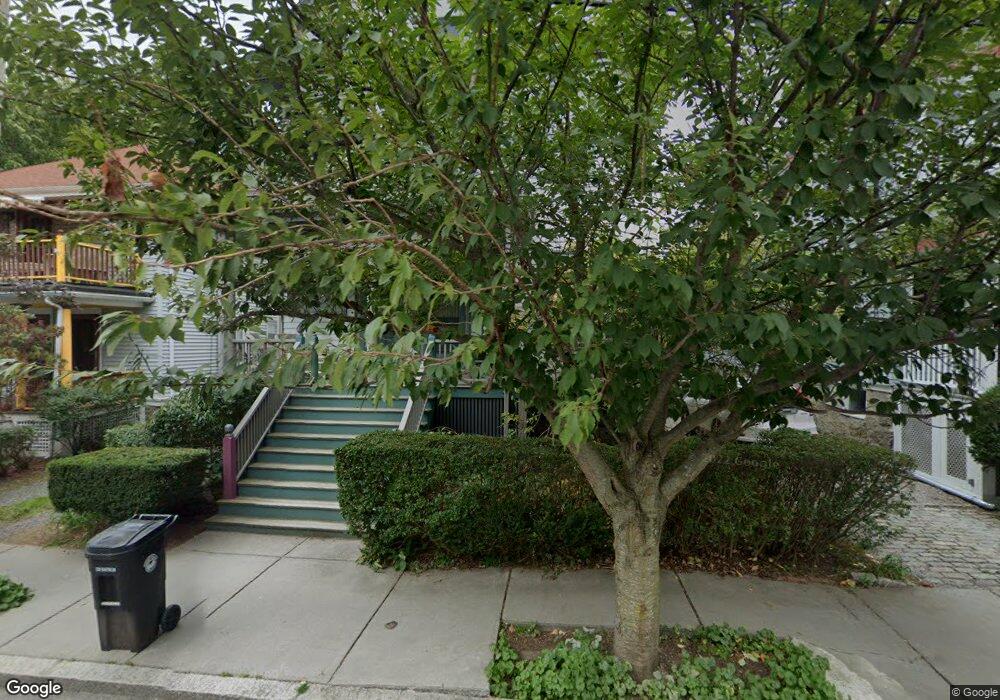
79 Stearns Rd Unit 81 Brookline, MA 02446
Coolidge Corner NeighborhoodEstimated Value: $2,546,000 - $2,740,000
8
Beds
3
Baths
3,337
Sq Ft
$801/Sq Ft
Est. Value
About This Home
This home is located at 79 Stearns Rd Unit 81, Brookline, MA 02446 and is currently estimated at $2,673,387, approximately $801 per square foot. 79 Stearns Rd Unit 81 is a home located in Norfolk County with nearby schools including Amos A. Lawrence School, Brookline High School, and St. Mary of the Assumption Elementary School.
Create a Home Valuation Report for This Property
The Home Valuation Report is an in-depth analysis detailing your home's value as well as a comparison with similar homes in the area
Home Values in the Area
Average Home Value in this Area
Tax History
| Year | Tax Paid | Tax Assessment Tax Assessment Total Assessment is a certain percentage of the fair market value that is determined by local assessors to be the total taxable value of land and additions on the property. | Land | Improvement |
|---|---|---|---|---|
| 2025 | $19,542 | $1,979,900 | $1,146,500 | $833,400 |
| 2024 | $19,138 | $1,958,900 | $1,102,400 | $856,500 |
| 2023 | $18,430 | $1,848,500 | $911,000 | $937,500 |
| 2022 | $17,938 | $1,760,400 | $867,600 | $892,800 |
| 2021 | $16,588 | $1,692,700 | $834,200 | $858,500 |
| 2020 | $15,569 | $1,647,500 | $758,400 | $889,100 |
| 2019 | $14,702 | $1,569,100 | $722,300 | $846,800 |
| 2018 | $13,043 | $1,378,700 | $572,500 | $806,200 |
| 2017 | $12,614 | $1,276,700 | $540,200 | $736,500 |
| 2016 | $12,093 | $1,160,600 | $504,800 | $655,800 |
| 2015 | $10,960 | $1,026,200 | $428,900 | $597,300 |
| 2014 | $10,520 | $923,600 | $389,900 | $533,700 |
Source: Public Records
Map
Nearby Homes
- 81 Francis St Unit 2
- 60 Longwood Ave Unit 802
- 60 Longwood Ave Unit 307
- 65 Francis St Unit A
- 131 Sewall Ave Unit 61
- 45 Longwood Ave Unit 712
- 45 Longwood Ave Unit 812
- 50 Longwood Ave Unit 518
- 50 Longwood Ave Unit 611
- 100 Sewall Ave Unit 5
- 57 Saint Paul St Unit 19
- 1243 Beacon St Unit 5A
- 15 Francis St Unit 16
- 37 Saint Paul St Unit 3
- 15 Kent Square
- 61 Toxteth St
- 14 James St Unit 3
- 2-14 Saint Paul St Unit 403
- 20 Webster St Unit 307
- 20 Chapel St Unit B811
- 77 Stearns Rd Unit 2
- 71 Stearns Rd Unit 73
- 73 Stearns Rd Unit 2
- 75 Stearns Rd Unit 1
- 91 Saint Paul St Unit 3
- 89 St Paul St Unit 1
- 89 Saint Paul St
- 89 Saint Paul St Unit 3F
- 89 Saint Paul St Unit 89
- 89 Saint Paul St Unit 1
- 85 Saint Paul St Unit 3
- 85 Saint Paul St Unit 1
- 85 Saint Paul St Unit 84-1
- 85 Saint Paul St Unit 82-6
- 85 Saint Paul St Unit 86-2
- 85 Saint Paul St Unit 85
- 83 Stearns Rd Unit 2
- 83 Stearns Rd Unit 1
- 83 Saint Paul St Unit 85
- 83 Saint Paul St Unit 85
Your Personal Tour Guide
Ask me questions while you tour the home.