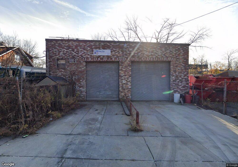
79 Storer Ave Unit AB Staten Island, NY 10309
Charleston NeighborhoodEstimated Value: $731,992
--
Bed
--
Bath
3,100
Sq Ft
$236/Sq Ft
Est. Value
About This Home
This home is located at 79 Storer Ave Unit AB, Staten Island, NY 10309 and is currently estimated at $731,992, approximately $236 per square foot. 79 Storer Ave Unit AB is a home located in Richmond County with nearby schools including P.S. 6 Cpl Allan F Kivlehan School, Is 34 Tottenville, and Tottenville High School.
Ownership History
Date
Name
Owned For
Owner Type
Purchase Details
Closed on
Aug 13, 2015
Sold by
Noto Giuseppe and Noto Joseph
Bought by
Noto Giuseppe
Current Estimated Value
Purchase Details
Closed on
Jan 27, 2003
Sold by
Capuzzo Christopher A and Capuzzo Maureen A
Bought by
Eltwood Estates Inc
Create a Home Valuation Report for This Property
The Home Valuation Report is an in-depth analysis detailing your home's value as well as a comparison with similar homes in the area
Home Values in the Area
Average Home Value in this Area
Purchase History
| Date | Buyer | Sale Price | Title Company |
|---|---|---|---|
| Noto Giuseppe | -- | None Available | |
| Eltwood Estates Inc | $300,000 | -- |
Source: Public Records
Tax History Compared to Growth
Tax History
| Year | Tax Paid | Tax Assessment Tax Assessment Total Assessment is a certain percentage of the fair market value that is determined by local assessors to be the total taxable value of land and additions on the property. | Land | Improvement |
|---|---|---|---|---|
| 2025 | $12,345 | $119,700 | $67,500 | $52,200 |
| 2024 | $12,345 | $116,550 | $67,500 | $49,050 |
| 2023 | $12,839 | $120,600 | $67,500 | $53,100 |
| 2022 | $12,361 | $126,900 | $67,500 | $59,400 |
| 2021 | $11,213 | $104,850 | $67,500 | $37,350 |
| 2020 | $11,295 | $121,050 | $67,500 | $53,550 |
| 2019 | $10,627 | $119,700 | $67,500 | $52,200 |
| 2018 | $10,106 | $102,150 | $31,050 | $71,100 |
| 2017 | $9,775 | $102,150 | $31,050 | $71,100 |
| 2016 | $9,298 | $90,900 | $31,050 | $59,850 |
| 2015 | $8,390 | $90,450 | $31,050 | $59,400 |
| 2014 | $8,390 | $94,950 | $31,050 | $63,900 |
Source: Public Records
Map
Nearby Homes
- 0 Winant Place
- 60 Androvette St
- 54 Kreischer St
- 97-99 Englewood Ave
- 68 Tiller Ct
- 71 Topside Ln
- 0 Veterans Rd E
- 66 Pilot Ln
- 155 Darnell Ln
- 33 White Oak Ln
- 97 Crabtree Ave
- 43 Chart Loop
- 119 Berkshire Ln
- 117 Pembrook Loop
- 59 Pembrook Loop
- 55 Quail Ln
- 182 Pembrook Loop
- 50 Mallard Ln
- 37 Quail Ln
- 30 Harris Ln
- 79 Storer Ave
- 29 Storer Ave
- 0 Storer Ave
- 95 Lundsten Ave
- 97 Storer Ave Unit D1
- 97 Storer Ave
- 497 Sharrotts Rd
- 6 Muriel St
- 505 Sharrotts Rd
- 491 Sharrotts Rd
- 111 Storer Ave Unit B1
- 111 Storer Ave
- 477 Sharrotts Rd
- 473 Sharrotts Rd
- 45 Storer Ave
- 471 Sharrotts Rd
- 47 Storer Ave
- 11 Storer Ave
- 496 Sharrotts Rd
- 492 Sharrotts Rd