79 Turnstone Terrace Stoughton, MA 02072
Estimated Value: $863,000 - $888,000
4
Beds
3
Baths
2,679
Sq Ft
$328/Sq Ft
Est. Value
About This Home
This home is located at 79 Turnstone Terrace, Stoughton, MA 02072 and is currently estimated at $878,037, approximately $327 per square foot. 79 Turnstone Terrace is a home located in Norfolk County with nearby schools including Joseph H. Gibbons Elementary School, Dr. Robert G. O'Donnell Middle School, and Stoughton High School.
Ownership History
Date
Name
Owned For
Owner Type
Purchase Details
Closed on
Jun 29, 2004
Sold by
Miller Amy S and Miller Gregory M
Bought by
Gerome Craig T and Gerome Tracy J
Current Estimated Value
Home Financials for this Owner
Home Financials are based on the most recent Mortgage that was taken out on this home.
Original Mortgage
$255,000
Interest Rate
6.32%
Mortgage Type
Purchase Money Mortgage
Purchase Details
Closed on
Jun 10, 1994
Sold by
Endriunas Tr Walter R and Endriunas Tr Al P
Bought by
Miller Gregory M and Miller Amy S
Create a Home Valuation Report for This Property
The Home Valuation Report is an in-depth analysis detailing your home's value as well as a comparison with similar homes in the area
Home Values in the Area
Average Home Value in this Area
Purchase History
| Date | Buyer | Sale Price | Title Company |
|---|---|---|---|
| Gerome Craig T | $529,900 | -- | |
| Gerome Craig T | $529,900 | -- | |
| Miller Gregory M | $70,000 | -- | |
| Miller Gregory M | $70,000 | -- |
Source: Public Records
Mortgage History
| Date | Status | Borrower | Loan Amount |
|---|---|---|---|
| Open | Miller Gregory M | $246,000 | |
| Closed | Gerome Craig T | $255,000 | |
| Previous Owner | Miller Gregory M | $250,000 |
Source: Public Records
Tax History Compared to Growth
Tax History
| Year | Tax Paid | Tax Assessment Tax Assessment Total Assessment is a certain percentage of the fair market value that is determined by local assessors to be the total taxable value of land and additions on the property. | Land | Improvement |
|---|---|---|---|---|
| 2025 | $9,633 | $778,100 | $280,500 | $497,600 |
| 2024 | $9,517 | $747,600 | $267,800 | $479,800 |
| 2023 | $9,164 | $676,300 | $229,500 | $446,800 |
| 2022 | $8,606 | $597,200 | $199,700 | $397,500 |
| 2021 | $8,519 | $564,200 | $191,200 | $373,000 |
| 2020 | $8,282 | $556,200 | $191,200 | $365,000 |
| 2019 | $8,072 | $526,200 | $191,200 | $335,000 |
| 2018 | $7,421 | $501,100 | $195,500 | $305,600 |
| 2017 | $7,183 | $495,700 | $195,500 | $300,200 |
| 2016 | $7,123 | $475,800 | $191,200 | $284,600 |
| 2015 | $7,102 | $469,400 | $184,800 | $284,600 |
| 2014 | $6,814 | $432,900 | $161,500 | $271,400 |
Source: Public Records
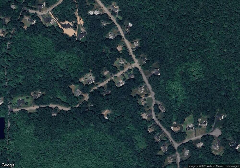
Map
Nearby Homes
- 4 Eagle Rock Rd
- 15 Victory Ln
- 350 Mountain St
- 295 Lincoln St
- 283 Palisades Cir
- 1600 West St
- 93 Palisades Cir
- 376 Mountain St
- 12 Queens Cir
- 16 Harlow St
- 16 Whittier Ln
- 24 Queens Cir
- 49 Cosma Rd
- 8 Riverside Terrace
- 74 Eisenhower Dr
- 8 Hobart Way
- 20 Quarry Ln
- 11 Olde Stable Ln
- 27 Holmes St
- 25 Andrews Farm Rd
- 78 Turnstone Terrace
- 91 Turnstone Terrace
- 67 Turnstone Terrace
- 88 Turnstone Terrace
- 100 Eagle Rock Rd
- 60 Turnstone Terrace
- 104 Eagle Rock Rd
- 60 Eagle Rock Rd
- 51 Turnstone Terrace
- 0 Eagle Rock Rd Land
- 83 Eagle Rock Rd
- 97 Eagle Rock Rd
- 110 Eagle Rock Rd
- 48 Turnstone Terrace
- 67 Eagle Rock Rd
- 46 Eagle Rock Rd
- 115 Eagle Rock Rd
- 43 Eagle Rock Rd
- 120 Eagle Rock Rd
- 128 Eagle Rock Rd