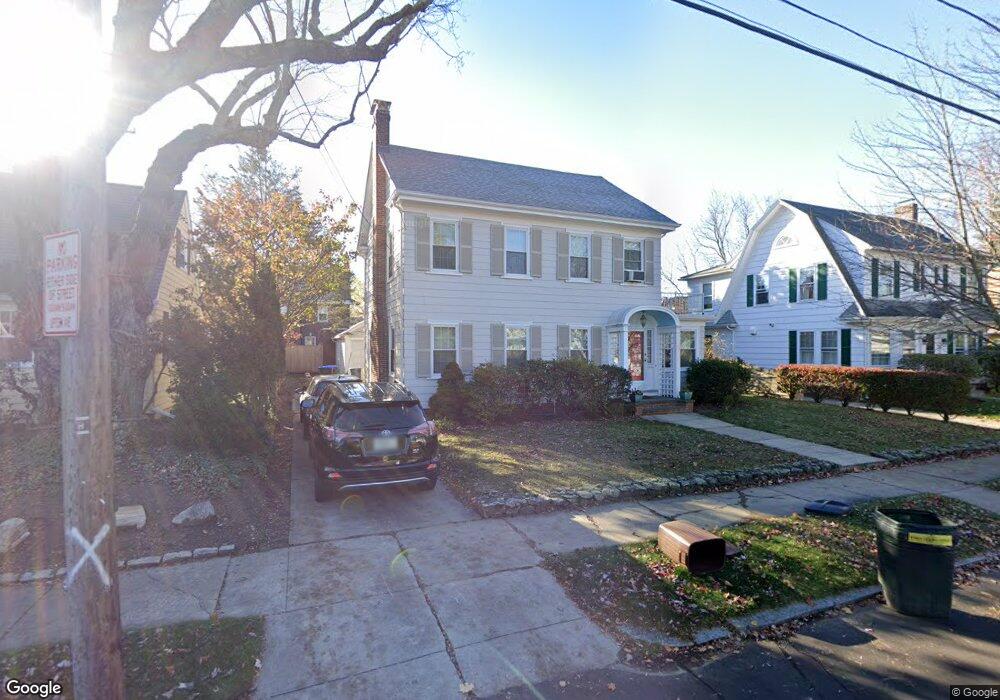
79 Upton Ave Providence, RI 02906
Blackstone NeighborhoodEstimated Value: $883,661 - $1,035,000
4
Beds
3
Baths
1,875
Sq Ft
$508/Sq Ft
Est. Value
About This Home
This home is located at 79 Upton Ave, Providence, RI 02906 and is currently estimated at $952,665, approximately $508 per square foot. 79 Upton Ave is a home located in Providence County with nearby schools including Montessori Childrens House, Lincoln School, and Jewish Community Day School Of Rhode Island.
Ownership History
Date
Name
Owned For
Owner Type
Purchase Details
Closed on
Jun 26, 1997
Sold by
Rhode Island Hospital
Bought by
Alianello Paul V and Alianiello Lauren
Current Estimated Value
Create a Home Valuation Report for This Property
The Home Valuation Report is an in-depth analysis detailing your home's value as well as a comparison with similar homes in the area
Home Values in the Area
Average Home Value in this Area
Purchase History
| Date | Buyer | Sale Price | Title Company |
|---|---|---|---|
| Alianello Paul V | $165,000 | -- |
Source: Public Records
Mortgage History
| Date | Status | Borrower | Loan Amount |
|---|---|---|---|
| Closed | Alianello Paul V | $76,262 | |
| Closed | Alianello Paul V | $25,000 | |
| Open | Alianello Paul V | $170,000 | |
| Closed | Alianello Paul V | $160,000 |
Source: Public Records
Tax History
| Year | Tax Paid | Tax Assessment Tax Assessment Total Assessment is a certain percentage of the fair market value that is determined by local assessors to be the total taxable value of land and additions on the property. | Land | Improvement |
|---|---|---|---|---|
| 2025 | $6,854 | $815,900 | $493,200 | $322,700 |
| 2024 | $11,583 | $631,200 | $312,400 | $318,800 |
| 2023 | $11,583 | $631,200 | $312,400 | $318,800 |
| 2022 | $11,235 | $631,200 | $312,400 | $318,800 |
| 2021 | $12,010 | $489,000 | $242,500 | $246,500 |
| 2020 | $12,010 | $489,000 | $242,500 | $246,500 |
| 2019 | $11,538 | $469,800 | $242,500 | $227,300 |
| 2018 | $12,765 | $399,400 | $226,500 | $172,900 |
| 2017 | $12,765 | $399,400 | $226,500 | $172,900 |
| 2016 | $12,765 | $399,400 | $226,500 | $172,900 |
| 2015 | $11,873 | $358,700 | $211,400 | $147,300 |
| 2014 | $12,106 | $358,700 | $211,400 | $147,300 |
| 2013 | -- | $358,700 | $211,400 | $147,300 |
Source: Public Records
Map
Nearby Homes
- 181 Cole Ave Unit 2
- 189 Laurel Ave Unit 189
- 219 Cole Ave
- 233 Cole Ave
- 140 Freeman Pkwy
- 296 Cole Ave
- 80 Clarendon Ave
- 82 Freeman Pkwy
- 90 University Ave
- 325 Wayland Ave
- 134 Irving Ave
- 269 Doyle Ave
- 201 Arlington Ave
- 125 Taber Ave
- 227 Irving Ave
- 71 Savoy St
- 141 Elton St
- 15 Taft Ave
- 94 Larch St
- 15 Humboldt Ave
Your Personal Tour Guide
Ask me questions while you tour the home.