Estimated Value: $634,000 - $876,000
4
Beds
3
Baths
3,967
Sq Ft
$203/Sq Ft
Est. Value
About This Home
This home is located at 79 W Sand Point Rd, Mead, OK 73449 and is currently estimated at $804,346, approximately $202 per square foot. 79 W Sand Point Rd is a home located in Bryan County with nearby schools including Silo Early Childhood Center, Silo Elementary School, and Silo Middle School.
Ownership History
Date
Name
Owned For
Owner Type
Purchase Details
Closed on
Oct 10, 2023
Sold by
Andrew and Taylor
Bought by
Andrews Taylor and Andrews Jarren
Current Estimated Value
Purchase Details
Closed on
Sep 21, 2023
Sold by
Smith Anthony and Smith Melanie
Bought by
Andrews Jarren and Andrews Taylor
Purchase Details
Closed on
Dec 19, 2014
Sold by
Cavender Sherri Lynne and Cavender Sherri
Bought by
Smith Anthony and Smith Melanie
Home Financials for this Owner
Home Financials are based on the most recent Mortgage that was taken out on this home.
Original Mortgage
$404,955
Interest Rate
4.04%
Mortgage Type
Unknown
Purchase Details
Closed on
Mar 11, 2010
Sold by
Coburn Larry and Coburn Dawn
Bought by
Cavender Kenneth Dale and Cavender Sherri Lynne
Home Financials for this Owner
Home Financials are based on the most recent Mortgage that was taken out on this home.
Original Mortgage
$382,712
Interest Rate
4.97%
Mortgage Type
Unknown
Create a Home Valuation Report for This Property
The Home Valuation Report is an in-depth analysis detailing your home's value as well as a comparison with similar homes in the area
Home Values in the Area
Average Home Value in this Area
Purchase History
| Date | Buyer | Sale Price | Title Company |
|---|---|---|---|
| Andrews Taylor | -- | None Listed On Document | |
| Andrews Jarren | $15,000 | None Listed On Document | |
| Smith Anthony | $450,000 | None Available | |
| Cavender Kenneth Dale | $450,500 | None Available |
Source: Public Records
Mortgage History
| Date | Status | Borrower | Loan Amount |
|---|---|---|---|
| Previous Owner | Smith Anthony | $404,955 | |
| Previous Owner | Cavender Kenneth Dale | $382,712 |
Source: Public Records
Tax History Compared to Growth
Tax History
| Year | Tax Paid | Tax Assessment Tax Assessment Total Assessment is a certain percentage of the fair market value that is determined by local assessors to be the total taxable value of land and additions on the property. | Land | Improvement |
|---|---|---|---|---|
| 2025 | $4,460 | $55,308 | $1,486 | $53,822 |
| 2024 | $4,460 | $53,697 | $1,443 | $52,254 |
| 2023 | $4,460 | $52,132 | $1,338 | $50,794 |
| 2022 | $4,202 | $50,614 | $1,020 | $49,594 |
| 2021 | $4,099 | $50,614 | $1,020 | $49,594 |
| 2020 | $4,119 | $50,614 | $1,020 | $49,594 |
| 2019 | $4,189 | $50,679 | $1,020 | $49,659 |
| 2018 | $4,081 | $49,203 | $1,020 | $48,183 |
| 2017 | $3,444 | $47,769 | $1,020 | $46,749 |
| 2016 | $3,563 | $49,387 | $913 | $48,474 |
| 2015 | $3,563 | $49,387 | $913 | $48,474 |
| 2014 | $3,004 | $40,810 | $330 | $40,480 |
Source: Public Records
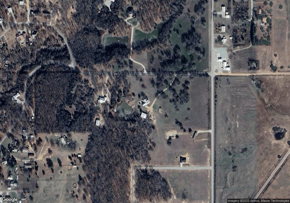
Map
Nearby Homes
- 0 N Sand Point Rd
- 429 N Sand Point Rd
- 200 Sunset Cove
- 0 S Texoma Rd
- 198 Texoma Dr
- 180 Sunset Cove
- 320 Sunset Way
- 280 Sunset Way
- 300 Sunset Way
- 342 Sunset Way
- 364 Sunset Way
- 802 W Sand Point Rd
- 426 White Dr
- 1409 Streetman Rd
- 0 E Sophia Loop Unit 20251214
- 45 W Sophia Loop
- 653 Max Rd
- 36 Flounder Rd
- 65 Bass Dr
- 75 Perch Dr
- 001 Sandpoint Rd
- 32 N Landing Loop
- 31 N Landing Loop
- 27 N Landing Loop
- 30 N Landing Loop
- 29 N Landing Loop
- 28 N Landing Loop
- 26 N Landing Loop
- 02 N Landing Loop
- 04 N Landing Loop
- 05 N Landing Loop
- 06 N Landing Loop
- 032 N Landing Loop
- 031 N Landing Loop
- 030 N Landing Loop
- 029 N Landing Loop
- 028 N Landing Loop
- 027 N Landing Loop
- 026 N Landing Loop
- 007 N Landing Loop