79 Waldheim Rd Morton, IL 61550
Estimated Value: $319,703 - $368,000
4
Beds
3
Baths
1,788
Sq Ft
$191/Sq Ft
Est. Value
About This Home
This home is located at 79 Waldheim Rd, Morton, IL 61550 and is currently estimated at $341,176, approximately $190 per square foot. 79 Waldheim Rd is a home located in Tazewell County with nearby schools including Morton High School, Blessed Sacrament School, and Bethel Lutheran School.
Ownership History
Date
Name
Owned For
Owner Type
Purchase Details
Closed on
Nov 9, 2005
Sold by
Bernstein Michael Joseph
Bought by
Canopy Andrew D and Canopy Virginia D
Current Estimated Value
Home Financials for this Owner
Home Financials are based on the most recent Mortgage that was taken out on this home.
Original Mortgage
$17,500
Interest Rate
6.48%
Mortgage Type
New Conventional
Create a Home Valuation Report for This Property
The Home Valuation Report is an in-depth analysis detailing your home's value as well as a comparison with similar homes in the area
Home Values in the Area
Average Home Value in this Area
Purchase History
| Date | Buyer | Sale Price | Title Company |
|---|---|---|---|
| Canopy Andrew D | $175,000 | -- |
Source: Public Records
Mortgage History
| Date | Status | Borrower | Loan Amount |
|---|---|---|---|
| Closed | Canopy Andrew D | $17,500 | |
| Open | Canopy Andrew D | $140,000 |
Source: Public Records
Tax History Compared to Growth
Tax History
| Year | Tax Paid | Tax Assessment Tax Assessment Total Assessment is a certain percentage of the fair market value that is determined by local assessors to be the total taxable value of land and additions on the property. | Land | Improvement |
|---|---|---|---|---|
| 2024 | $5,527 | $87,330 | $22,540 | $64,790 |
| 2023 | $5,527 | $81,360 | $21,000 | $60,360 |
| 2022 | $5,307 | $74,720 | $19,290 | $55,430 |
| 2021 | $5,087 | $71,850 | $18,550 | $53,300 |
| 2020 | $4,927 | $71,140 | $18,370 | $52,770 |
| 2019 | $5,334 | $76,710 | $19,260 | $57,450 |
| 2018 | $5,236 | $76,710 | $19,260 | $57,450 |
| 2017 | $5,101 | $75,950 | $19,070 | $56,880 |
| 2016 | $4,999 | $75,950 | $19,070 | $56,880 |
| 2015 | $4,810 | $0 | $0 | $0 |
| 2013 | $4,710 | $73,160 | $18,370 | $54,790 |
Source: Public Records
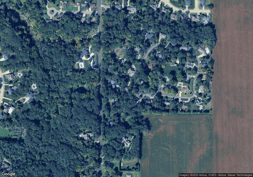
Map
Nearby Homes
- 58 Waldheim Rd
- 43 Lynnwood Ct
- 41 Forestview Rd
- 11 Hickory Ridge Dr
- 12 Crystal Ct
- 26 Jasper Ct
- Lot 46 Wolf Crossing Dr
- Lot 1 Wolf Crossing Dr
- Lot 47 Wolf Crossing Dr
- 614 Thornridge Dr
- Lot 84 Timber Wolf Dr
- 35 Timber Wolf Dr
- 45 Fox Creek Ct
- 26 Linden Ct
- 1224 Autumn Ridge Ct
- 116 E Sassafras Dr Unit 116Sas
- 110 White Oak Dr Unit 110Whi
- 121 Jay Ave
- 111 Willow Oak Dr Unit 111Wil
- 501-503 Pierce St
- 2424 N Morton Ave
- 75 Waldheim Rd
- 88 Waldheim Rd Unit M
- 2400 N Morton Ave
- 71 Waldheim Rd
- 89 Waldheim Rd
- 26 Waldheim Rd
- 18 Waldheim Rd
- 23 Waldheim Rd
- 2360 N Morton Ave
- 66 Waldheim Rd
- 67 Waldheim Rd
- 2421 N Morton Ave
- 30 Waldheim Rd
- 19 Waldheim Rd
- 36 Waldheim Rd
- 2300 N Morton Ave
- 15 Waldheim Rd
- 27 Waldheim Rd