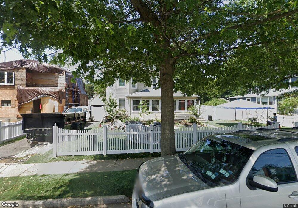
79 Wallace St Freeport, NY 11520
Estimated Value: $647,000 - $739,784
5
Beds
2
Baths
2,366
Sq Ft
$293/Sq Ft
Est. Value
About This Home
This home is located at 79 Wallace St, Freeport, NY 11520 and is currently estimated at $693,392, approximately $293 per square foot. 79 Wallace St is a home located in Nassau County with nearby schools including Caroline G. Atkinson Intermediate School, Columbus Avenue School, and John W Dodd Middle School.
Ownership History
Date
Name
Owned For
Owner Type
Purchase Details
Closed on
Sep 26, 2014
Sold by
Warinner Peter
Bought by
Aplicano Castejon Jimmy I
Current Estimated Value
Home Financials for this Owner
Home Financials are based on the most recent Mortgage that was taken out on this home.
Original Mortgage
$282,254
Outstanding Balance
$217,290
Interest Rate
4.37%
Mortgage Type
FHA
Estimated Equity
$476,102
Create a Home Valuation Report for This Property
The Home Valuation Report is an in-depth analysis detailing your home's value as well as a comparison with similar homes in the area
Home Values in the Area
Average Home Value in this Area
Purchase History
| Date | Buyer | Sale Price | Title Company |
|---|---|---|---|
| Aplicano Castejon Jimmy I | $292,000 | None Available | |
| Aplicano Castejon Jimmy I | $292,000 | None Available | |
| Aplicano Castejon Jimmy I | $292,000 | None Available | |
| Aplicano Castejon Jimmy I | $292,000 | None Available | |
| Aplicano Castejon Jimmy I | $292,000 | None Available |
Source: Public Records
Mortgage History
| Date | Status | Borrower | Loan Amount |
|---|---|---|---|
| Open | Aplicano Castejon Jimmy I | $282,254 | |
| Closed | Aplicano Castejon Jimmy I | $282,254 |
Source: Public Records
Tax History
| Year | Tax Paid | Tax Assessment Tax Assessment Total Assessment is a certain percentage of the fair market value that is determined by local assessors to be the total taxable value of land and additions on the property. | Land | Improvement |
|---|---|---|---|---|
| 2025 | $8,677 | $444 | $178 | $266 |
| 2024 | $933 | $441 | $176 | $265 |
Source: Public Records
Map
Nearby Homes
- 101 Wallace St
- 115 N Bergen Place
- 99 Randall Ave Unit 1Q
- 27 W Woodbine Dr
- 161 Wallace St
- 70 N Grove St Unit 1R
- 60 Connecticut Ave
- 63 Lincoln Place
- 28 Lexington Ave
- 35 W Seaman Ave
- 55 S Bergen Place Unit 3F
- 45 Dehnhoff Ave
- 6 Beverly Pkwy
- 235 Pine St
- 100 S Ocean Ave Unit 3U
- 100 S Ocean Ave Unit 3m
- 89 Delaware Ave
- 67 E Dean St
- 139 New York Ave
- 250 W Merrick Rd Unit 2R
- 83 Wallace St
- 77 Wallace St
- 89 Wallace St
- 69 Wallace St
- 94 N Long Beach Ave
- 86 N Long Beach Ave
- 102 N Long Beach Ave
- 80 Wallace St
- 88 Wallace St
- 78 N Long Beach Ave
- 116 Randall Ave
- 70 Wallace St
- 126 Randall Ave
- 122 Randall Ave
- 92 Wallace St
- 100 Wallace St
- 112 N Long Beach Ave
- 70 N Long Beach Ave
- 100 Randall Ave Unit 3C
- 100 Randall Ave Unit 3H
Your Personal Tour Guide
Ask me questions while you tour the home.