79 Warrington St Wellsville, PA 17365
Warrington Township NeighborhoodEstimated Value: $183,623 - $266,000
2
Beds
1
Bath
1,216
Sq Ft
$189/Sq Ft
Est. Value
About This Home
This home is located at 79 Warrington St, Wellsville, PA 17365 and is currently estimated at $229,906, approximately $189 per square foot. 79 Warrington St is a home located in York County with nearby schools including Northern Middle School and Northern High School.
Ownership History
Date
Name
Owned For
Owner Type
Purchase Details
Closed on
Mar 24, 2015
Sold by
Huston Jeffrey H and Huston Annette L
Bought by
Huston Annettel
Current Estimated Value
Purchase Details
Closed on
Dec 14, 2004
Sold by
Ridge William M and Ridge Amanda G
Bought by
Hutson Jeffrey H and Hutson Annette L
Home Financials for this Owner
Home Financials are based on the most recent Mortgage that was taken out on this home.
Original Mortgage
$55,920
Outstanding Balance
$27,912
Interest Rate
5.68%
Mortgage Type
Fannie Mae Freddie Mac
Estimated Equity
$201,994
Purchase Details
Closed on
Aug 11, 2000
Sold by
Miller Robert E
Bought by
Ridge William M and Snyder Amanda G
Home Financials for this Owner
Home Financials are based on the most recent Mortgage that was taken out on this home.
Original Mortgage
$59,509
Interest Rate
8.21%
Mortgage Type
FHA
Create a Home Valuation Report for This Property
The Home Valuation Report is an in-depth analysis detailing your home's value as well as a comparison with similar homes in the area
Home Values in the Area
Average Home Value in this Area
Purchase History
| Date | Buyer | Sale Price | Title Company |
|---|---|---|---|
| Huston Annettel | -- | None Available | |
| Hutson Jeffrey H | $69,900 | First American Title Ins Co | |
| Ridge William M | $60,000 | First American Title Ins Co |
Source: Public Records
Mortgage History
| Date | Status | Borrower | Loan Amount |
|---|---|---|---|
| Open | Hutson Jeffrey H | $55,920 | |
| Previous Owner | Ridge William M | $59,509 | |
| Closed | Hutson Jeffrey H | $13,980 |
Source: Public Records
Tax History Compared to Growth
Tax History
| Year | Tax Paid | Tax Assessment Tax Assessment Total Assessment is a certain percentage of the fair market value that is determined by local assessors to be the total taxable value of land and additions on the property. | Land | Improvement |
|---|---|---|---|---|
| 2025 | $2,149 | $78,290 | $27,710 | $50,580 |
| 2024 | $2,126 | $78,290 | $27,710 | $50,580 |
| 2023 | $2,084 | $78,290 | $27,710 | $50,580 |
| 2022 | $2,040 | $78,290 | $27,710 | $50,580 |
| 2021 | $1,910 | $78,290 | $27,710 | $50,580 |
| 2020 | $1,863 | $78,290 | $27,710 | $50,580 |
| 2019 | $1,816 | $78,290 | $27,710 | $50,580 |
| 2018 | $1,778 | $78,290 | $27,710 | $50,580 |
| 2017 | $1,778 | $78,290 | $27,710 | $50,580 |
| 2016 | $0 | $78,290 | $27,710 | $50,580 |
| 2015 | -- | $78,290 | $27,710 | $50,580 |
| 2014 | -- | $78,290 | $27,710 | $50,580 |
Source: Public Records
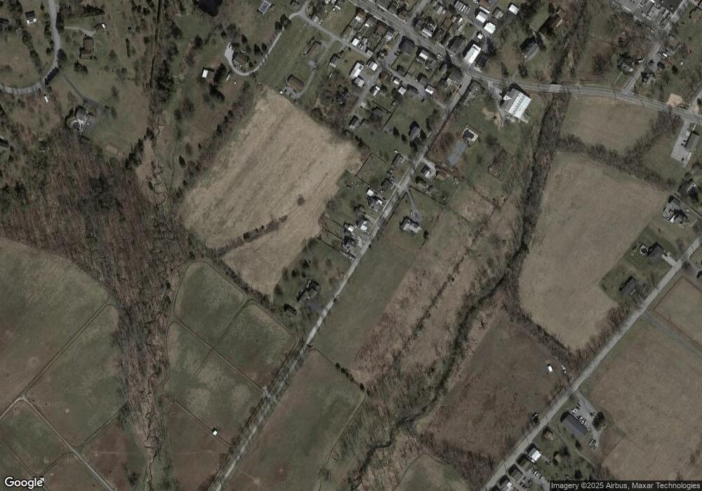
Map
Nearby Homes
- Tract #1 Carlisle Rd
- 270 S Winding Rd
- 0 W Camping Area Rd
- 138 S Peiffer Rd
- 375 Mount Zion Rd
- 265 Pine Woods Rd
- 160 Myers Rd
- 6691 Harmony Grove Rd
- 22 Bentz Mill Rd
- 6520 Old Carlisle Rd
- 580 S Kralltown Rd
- 10 Hull Dr
- 206 Bentz Mill Rd
- 2530 Sky Top Trail
- 480 Mount Airy Rd Unit 13
- 6200 Old Carlisle Rd
- 1967 Pinetown Rd
- 107 Pickett Rd
- 329 Mount Airy Rd
- 5790 Carlisle Rd
- 77 Warrington St
- 73 Warrington St
- 71 Warrington St
- 67 Warrington St
- 65 Warrington St
- 54 Warrington St
- 55 Warrington St
- 45 Warrington St
- 46 Warrington St
- 44 Chestnut St
- 42 Warrington St
- 43 Warrington St
- 28 Chestnut St
- 310 Warrington St
- 310 South St
- 356 South St Unit 358
- 20 Chestnut St
- 21 Chestnut St
- 314 Main St
- 306 Main St