79 Weldon Way Fairview, NC 28730
Estimated Value: $283,000 - $439,000
2
Beds
1
Bath
1,398
Sq Ft
$252/Sq Ft
Est. Value
About This Home
This home is located at 79 Weldon Way, Fairview, NC 28730 and is currently estimated at $352,069, approximately $251 per square foot. 79 Weldon Way is a home located in Buncombe County with nearby schools including A.C. Reynolds High School, Fairview Elementary School, and Cane Creek Middle.
Ownership History
Date
Name
Owned For
Owner Type
Purchase Details
Closed on
Sep 9, 2011
Sold by
Parrish Stephen A and Holden Debra J
Bought by
Demetry Kara Diane
Current Estimated Value
Home Financials for this Owner
Home Financials are based on the most recent Mortgage that was taken out on this home.
Original Mortgage
$140,000
Outstanding Balance
$112,931
Interest Rate
4.55%
Mortgage Type
Unknown
Estimated Equity
$239,138
Purchase Details
Closed on
Jun 13, 2006
Sold by
Holden Debra J
Bought by
Parrish Stephen A and Holden Debra J
Create a Home Valuation Report for This Property
The Home Valuation Report is an in-depth analysis detailing your home's value as well as a comparison with similar homes in the area
Home Values in the Area
Average Home Value in this Area
Purchase History
| Date | Buyer | Sale Price | Title Company |
|---|---|---|---|
| Demetry Kara Diane | $140,000 | None Available | |
| Parrish Stephen A | -- | None Available |
Source: Public Records
Mortgage History
| Date | Status | Borrower | Loan Amount |
|---|---|---|---|
| Open | Demetry Kara Diane | $140,000 |
Source: Public Records
Tax History
| Year | Tax Paid | Tax Assessment Tax Assessment Total Assessment is a certain percentage of the fair market value that is determined by local assessors to be the total taxable value of land and additions on the property. | Land | Improvement |
|---|---|---|---|---|
| 2025 | $1,292 | $183,000 | $22,800 | $160,200 |
| 2024 | $1,292 | $190,600 | $45,400 | $145,200 |
| 2023 | $1,292 | $190,600 | $45,400 | $145,200 |
| 2022 | $1,177 | $186,000 | $0 | $0 |
| 2021 | $1,177 | $186,000 | $0 | $0 |
| 2020 | $1,016 | $150,700 | $0 | $0 |
| 2019 | $1,016 | $150,700 | $0 | $0 |
| 2018 | $971 | $150,700 | $0 | $0 |
| 2017 | $971 | $136,800 | $0 | $0 |
| 2016 | $970 | $136,800 | $0 | $0 |
| 2015 | $970 | $136,800 | $0 | $0 |
| 2014 | $970 | $136,800 | $0 | $0 |
Source: Public Records
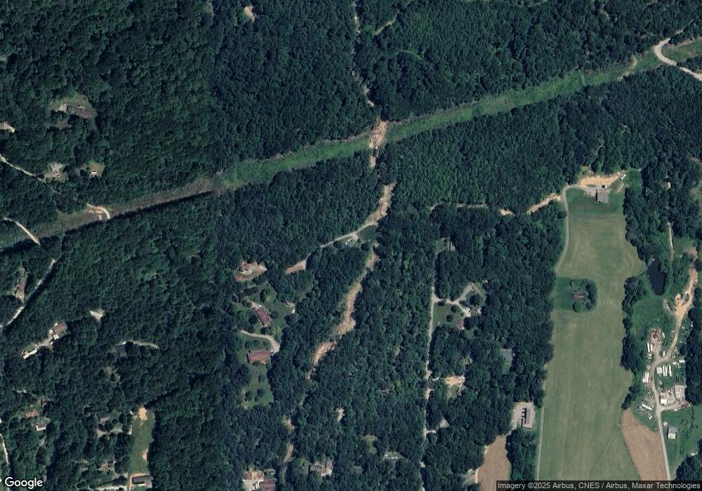
Map
Nearby Homes
- 54 Weldon Way
- 55 Heavenly Ln
- 48 Buck Ridge Rd
- 310 Log Gap Rd
- 26 Pineview Rd
- 90 Indian Mound Trail
- 10 Bear Trail
- 116 Vehorn Rd
- 19 Laurel Loop Rd SE
- 38 Gollum Dr
- 67 Flat Top Mountain Rd
- 425 Flat Top Mountain Rd
- 36 Enterprise Dr
- 400 Spring Mountain Rd
- 66 Enterprise Dr Unit 66
- 233 Church Rd
- 6 Grouse Terrace
- 80 Ivy Cove Rd
- 25 Ted Linn Dr
- 36 Ivy Cove Rd
- 41 Laurel Brook Dr
- 53 Weldon Way
- 54 Weldon Way Unit Tract B
- 47 Weldon Way
- 15 Laurel Brook Dr
- 996 Old Fort Rd
- 1042 Old Fort Rd
- 38 Weldon Way
- 992 Old Fort Rd
- 992 Old Fort Rd
- 223 Blue Bird Cove Ln
- 978 Old Fort Rd
- 69 Guffey Mountain Rd
- 67 Guffey Mountain Rd
- 26 Weldon Way
- 1040 Old Fort Rd
- 966 Old Fort Rd
- 1034 Old Fort Rd
- 1034 Old Fort Rd
- 16 Weldon Way
Your Personal Tour Guide
Ask me questions while you tour the home.