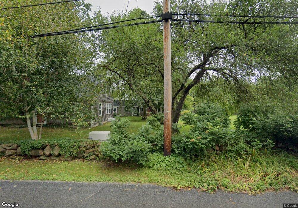
790 Drift Rd Westport, MA 02790
Booth/Handy Four Corners NeighborhoodEstimated Value: $761,619 - $1,022,000
3
Beds
--
Bath
1,970
Sq Ft
$446/Sq Ft
Est. Value
About This Home
This home is located at 790 Drift Rd, Westport, MA 02790 and is currently estimated at $878,155, approximately $445 per square foot. 790 Drift Rd is a home located in Bristol County with nearby schools including Alice A. Macomber Primary School, Westport Elementary School, and Westport Middle-High School.
Ownership History
Date
Name
Owned For
Owner Type
Purchase Details
Closed on
Aug 15, 2013
Sold by
Bourns David L and Bourns Ruth W
Bought by
David L Bourns Ret and Bourns David L
Current Estimated Value
Purchase Details
Closed on
May 1, 1992
Sold by
Perry Francis S and Perry Eleanor L
Bought by
Bourns David L and Bourns Ruth W
Home Financials for this Owner
Home Financials are based on the most recent Mortgage that was taken out on this home.
Original Mortgage
$174,400
Interest Rate
8.96%
Mortgage Type
Purchase Money Mortgage
Create a Home Valuation Report for This Property
The Home Valuation Report is an in-depth analysis detailing your home's value as well as a comparison with similar homes in the area
Home Values in the Area
Average Home Value in this Area
Purchase History
| Date | Buyer | Sale Price | Title Company |
|---|---|---|---|
| David L Bourns Ret | -- | -- | |
| Bourns David L | $218,000 | -- |
Source: Public Records
Mortgage History
| Date | Status | Borrower | Loan Amount |
|---|---|---|---|
| Previous Owner | Bourns David L | $163,100 | |
| Previous Owner | Bourns David L | $174,400 |
Source: Public Records
Tax History Compared to Growth
Tax History
| Year | Tax Paid | Tax Assessment Tax Assessment Total Assessment is a certain percentage of the fair market value that is determined by local assessors to be the total taxable value of land and additions on the property. | Land | Improvement |
|---|---|---|---|---|
| 2025 | $4,638 | $622,600 | $212,300 | $410,300 |
| 2024 | $4,657 | $602,500 | $196,900 | $405,600 |
| 2023 | $4,199 | $514,600 | $187,600 | $327,000 |
| 2022 | $3,532 | $416,500 | $187,600 | $228,900 |
| 2021 | $3,397 | $394,100 | $170,700 | $223,400 |
| 2020 | $3,266 | $387,400 | $164,000 | $223,400 |
| 2019 | $3,100 | $374,800 | $164,000 | $210,800 |
| 2018 | $2,835 | $347,000 | $166,500 | $180,500 |
| 2017 | $2,741 | $343,900 | $166,500 | $177,400 |
| 2016 | $2,720 | $343,900 | $166,500 | $177,400 |
| 2015 | $2,605 | $328,500 | $170,300 | $158,200 |
Source: Public Records
Map
Nearby Homes
- 837 Main Rd
- 837 Main Road & Lot 2
- 7 Village Way
- 8 Village Way
- 15 Village Way
- 920 Drift Rd
- 225 Hixbridge Rd
- 8 Strawberry Ln
- 101 Adamsville Rd
- 118 Charlotte White Rd Extension
- 0 Hidden Glen Ln
- 118 Charlotte White Rd
- Lot 0 Marcotte
- 73 White Oak Run
- 47 Fallon Dr
- 978 Sodom Rd
- 1346 Main Rd Unit B
- 99 Sylvia Ln
- 4 Main Rd
- 2 Slades Farm Ln