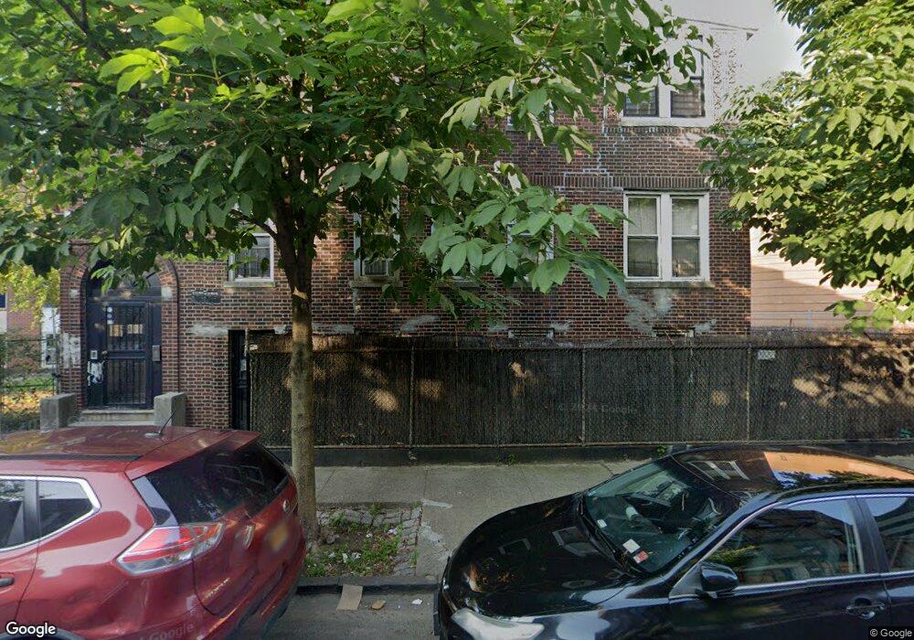
790 Grote St Bronx, NY 10460
Belmont NeighborhoodEstimated Value: $990,000 - $1,149,000
--
Bed
--
Bath
2,442
Sq Ft
$440/Sq Ft
Est. Value
About This Home
This home is located at 790 Grote St, Bronx, NY 10460 and is currently estimated at $1,074,333, approximately $439 per square foot. 790 Grote St is a home located in Bronx County with nearby schools including P.S. 032 The Belmont School and Jhs 118 William W Niles.
Ownership History
Date
Name
Owned For
Owner Type
Purchase Details
Closed on
Mar 31, 1998
Sold by
790 Grote Street Realty Corp
Bought by
King Gary M
Current Estimated Value
Home Financials for this Owner
Home Financials are based on the most recent Mortgage that was taken out on this home.
Original Mortgage
$242,690
Interest Rate
7.05%
Mortgage Type
FHA
Purchase Details
Closed on
Nov 20, 1997
Sold by
Sheridan Clementina M and Jordan Grace M
Bought by
790 Grote Street Realty Corp
Create a Home Valuation Report for This Property
The Home Valuation Report is an in-depth analysis detailing your home's value as well as a comparison with similar homes in the area
Home Values in the Area
Average Home Value in this Area
Purchase History
| Date | Buyer | Sale Price | Title Company |
|---|---|---|---|
| King Gary M | $247,500 | Commonwealth Land Title Ins | |
| 790 Grote Street Realty Corp | $175,000 | -- |
Source: Public Records
Mortgage History
| Date | Status | Borrower | Loan Amount |
|---|---|---|---|
| Previous Owner | King Gary M | $242,690 |
Source: Public Records
Tax History Compared to Growth
Tax History
| Year | Tax Paid | Tax Assessment Tax Assessment Total Assessment is a certain percentage of the fair market value that is determined by local assessors to be the total taxable value of land and additions on the property. | Land | Improvement |
|---|---|---|---|---|
| 2025 | $15,807 | $130,514 | $35,595 | $94,919 |
| 2024 | $15,807 | $126,432 | $39,280 | $87,152 |
| 2023 | $14,363 | $117,083 | $43,650 | $73,433 |
| 2022 | $13,266 | $223,200 | $86,400 | $136,800 |
| 2021 | $0 | $252,450 | $86,400 | $166,050 |
| 2020 | $12,522 | $250,200 | $86,400 | $163,800 |
| 2019 | $9,450 | $208,440 | $86,400 | $122,040 |
| 2018 | $11,455 | $90,064 | $45,608 | $44,456 |
| 2017 | $10,608 | $83,402 | $45,871 | $37,531 |
| 2016 | $9,956 | $77,227 | $46,905 | $30,322 |
| 2015 | $6,464 | $77,227 | $56,217 | $21,010 |
| 2014 | $6,464 | $74,812 | $59,015 | $15,797 |
Source: Public Records
Map
Nearby Homes
- 805 E 182nd St Unit 4E
- 2139 Mapes Ave
- 731 E 181st St
- 2120 Mapes Ave Unit 1A
- 2111 Prospect Ave
- 2158 Hughes Ave
- 2120 Daly Ave
- 620 E 182nd St
- 2079 Honeywell Ave
- 2077 Honeywell Ave
- 618 E 181st St
- 2471 Crotona Ave
- 610 E 181st St
- 782 E 179th St
- 818 E 179th St
- 2016 Marmion Ave Unit 2E
- 960 E 181st St
- 2108 Arthur Ave
- 2023 Belmont Ave Unit 5
- 2024 Hughes Ave Unit 3
- 2283 Southern Blvd
- 1022 Old Kingsbridge Rd
- 2277 Southern Blvd
- 1024 Grote St
- 1026 Old Kingsbridge Rd
- 1026 Old Kingsbridge Rd
- 2293 Southern Blvd
- 1026 Grote St
- 1028 Old Kingsbridge Rd
- 1028 Grote St
- 2275 Southern Blvd
- 2295 Southern Blvd
- 783 Grote St
- 2297 Southern Blvd
- 2297 Southern Blvd Unit 2
- 779 Grote St
- 775 Garden St
- 2299 Southern Blvd
- 777 Grote St
- 2271 Southern Blvd