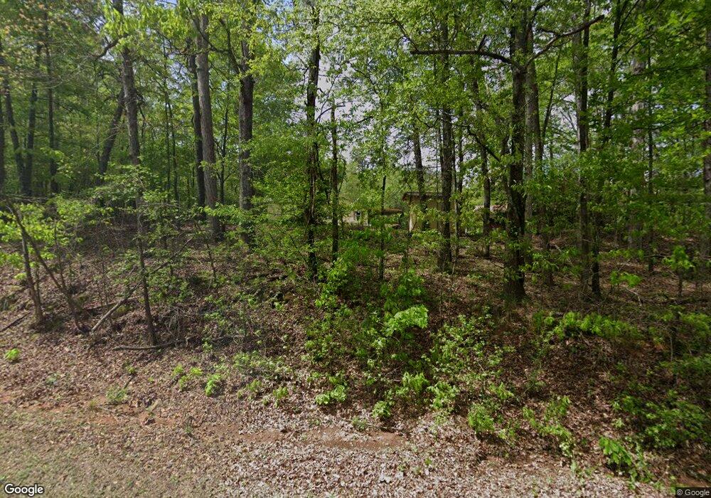
Estimated Value: $309,000 - $385,000
2
Beds
2
Baths
1,344
Sq Ft
$256/Sq Ft
Est. Value
About This Home
This home is located at 790 James Holcomb Rd, Hull, GA 30646 and is currently estimated at $343,847, approximately $255 per square foot. 790 James Holcomb Rd is a home with nearby schools including Madison County High School.
Ownership History
Date
Name
Owned For
Owner Type
Purchase Details
Closed on
Apr 30, 2009
Sold by
Bradley Fred A
Bought by
Meeks Robert E and Meeks Debra J
Current Estimated Value
Home Financials for this Owner
Home Financials are based on the most recent Mortgage that was taken out on this home.
Original Mortgage
$146,300
Outstanding Balance
$90,935
Interest Rate
4.79%
Mortgage Type
New Conventional
Estimated Equity
$252,912
Purchase Details
Closed on
Jan 1, 1989
Bought by
Bradley Fred
Create a Home Valuation Report for This Property
The Home Valuation Report is an in-depth analysis detailing your home's value as well as a comparison with similar homes in the area
Home Values in the Area
Average Home Value in this Area
Purchase History
| Date | Buyer | Sale Price | Title Company |
|---|---|---|---|
| Meeks Robert E | $154,000 | -- | |
| Bradley Fred | $14,000 | -- |
Source: Public Records
Mortgage History
| Date | Status | Borrower | Loan Amount |
|---|---|---|---|
| Open | Meeks Robert E | $146,300 |
Source: Public Records
Tax History Compared to Growth
Tax History
| Year | Tax Paid | Tax Assessment Tax Assessment Total Assessment is a certain percentage of the fair market value that is determined by local assessors to be the total taxable value of land and additions on the property. | Land | Improvement |
|---|---|---|---|---|
| 2025 | $2,209 | $104,956 | $37,616 | $67,340 |
| 2024 | $2,209 | $102,856 | $37,616 | $65,240 |
| 2023 | $2,821 | $92,415 | $31,347 | $61,068 |
| 2022 | $1,588 | $75,564 | $21,552 | $54,012 |
| 2021 | $1,624 | $63,197 | $21,552 | $41,645 |
| 2020 | $1,539 | $60,063 | $18,418 | $41,645 |
| 2019 | $1,530 | $59,199 | $18,418 | $40,781 |
| 2018 | $1,483 | $57,552 | $17,928 | $39,624 |
| 2017 | $1,526 | $52,992 | $16,676 | $36,316 |
| 2016 | $1,372 | $47,802 | $16,676 | $31,126 |
| 2015 | $1,373 | $47,802 | $16,676 | $31,126 |
| 2014 | $1,379 | $47,725 | $16,769 | $30,956 |
| 2013 | -- | $47,725 | $16,769 | $30,956 |
Source: Public Records
Map
Nearby Homes
- 0 Spratlin Mill Rd Unit 1025918
- 0 Spratlin Mill Rd Unit 10526335
- 00 Spratlin Mill Rd
- 1750 Charlie Bolton Rd
- 200 Lem Edwards Rd
- 489 Childers Rd
- 0 Virginia Ln Unit Lot 15
- 0 Virginia Ln Unit Lot 15 CL336098
- 0 Virginia Ln Unit LOT 15 10579204
- 0 Spratlin Mill Dr Unit 7665837
- 0 Spratlin Mill Dr Unit LOT 14-C
- 789 Glenn Carrie Rd
- 1309 Hull Rd
- 1 Lem Edwards Rd
- 2 Lem Edwards Rd
- 151 Rolling Woods Ln
- 300 Harve Mathis Rd
- 838 Virginia Ln
- 540 & 542 Harve Mathis Rd
- 181 Bedford Dr
- 930 James Holcomb Rd
- 0 Paul Smith Rd Unit 3177846
- 0 Paul Smith Rd Unit 7503533
- 0 Paul Smith Rd Unit 7518932
- 0 Paul Smith Rd Unit 7613436
- 0 Paul Smith Rd Unit 8112956
- 0 Paul Smith Rd Unit CM945870
- 0 Paul Smith Rd Unit 925752
- 0 Paul Smith Rd Unit Tract 7 8152224
- 643 Charlie Bolton Rd
- 595 James Holcomb Rd
- 624 James Holcomb Rd
- 230 Paul Smith Rd
- 260 Paul Smith Rd Unit 4
- 230 Paul Smith Rd Unit 3
- 155 Paul Smith Rd
- 323 Paul Smith Rd
- 827 Charlie Bolton Rd
- 396 James Holcomb Rd
- 775 Charlie Bolton Rd
