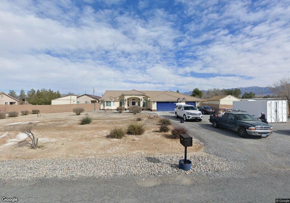
790 Marie St Pahrump, NV 89060
Estimated Value: $445,000 - $679,000
--
Bed
--
Bath
2,204
Sq Ft
$247/Sq Ft
Est. Value
About This Home
This home is located at 790 Marie St, Pahrump, NV 89060 and is currently estimated at $544,250, approximately $246 per square foot. 790 Marie St is a home located in Nye County with nearby schools including Manse Elementary School, Rosemary Clarke Middle School, and Pahrump Valley High School.
Ownership History
Date
Name
Owned For
Owner Type
Purchase Details
Closed on
Oct 19, 2006
Sold by
Homes West Inc
Bought by
Cunningham Karry Allen and Cunningham Joann L
Current Estimated Value
Home Financials for this Owner
Home Financials are based on the most recent Mortgage that was taken out on this home.
Original Mortgage
$292,000
Outstanding Balance
$172,503
Interest Rate
6.28%
Mortgage Type
Unknown
Estimated Equity
$371,747
Purchase Details
Closed on
May 19, 2006
Sold by
Cunningham Karry Allen
Bought by
Homes West Inc
Create a Home Valuation Report for This Property
The Home Valuation Report is an in-depth analysis detailing your home's value as well as a comparison with similar homes in the area
Home Values in the Area
Average Home Value in this Area
Purchase History
| Date | Buyer | Sale Price | Title Company |
|---|---|---|---|
| Cunningham Karry Allen | $75,000 | Lawyers Title Of Nevada Inc | |
| Homes West Inc | -- | None Available |
Source: Public Records
Mortgage History
| Date | Status | Borrower | Loan Amount |
|---|---|---|---|
| Open | Cunningham Karry Allen | $292,000 |
Source: Public Records
Tax History Compared to Growth
Tax History
| Year | Tax Paid | Tax Assessment Tax Assessment Total Assessment is a certain percentage of the fair market value that is determined by local assessors to be the total taxable value of land and additions on the property. | Land | Improvement |
|---|---|---|---|---|
| 2025 | $3,220 | $171,394 | $4,135 | $167,259 |
| 2024 | $3,220 | $148,914 | $4,135 | $144,779 |
| 2023 | $3,220 | $108,023 | $4,135 | $103,888 |
| 2022 | $2,008 | $97,132 | $4,135 | $92,997 |
| 2021 | $1,953 | $92,946 | $3,308 | $89,638 |
| 2020 | $1,897 | $92,710 | $3,308 | $89,402 |
| 2019 | $1,828 | $100,987 | $3,308 | $97,679 |
| 2018 | $1,776 | $97,090 | $2,646 | $94,444 |
| 2017 | $1,726 | $77,848 | $2,646 | $75,202 |
| 2016 | $1,683 | $59,074 | $2,646 | $56,428 |
| 2015 | $1,680 | $45,249 | $2,646 | $42,603 |
| 2014 | $1,555 | $48,905 | $2,646 | $46,259 |
Source: Public Records
Map
Nearby Homes
- 761 Marie St
- 761 Black St
- 951 W Betty Ave
- 610 W Morgan
- 550 Morgan Ln
- 1050 Morgan Ln
- 550 Black St
- 186 N Linda St
- 730 Shady Ln
- 1061 W Sierra Vista Cir S
- 1080 Shady Ln
- 1141 Piltz Rd
- 1371 W Basin Ave
- 220 N David St
- 1391 Piltz Rd
- 881 Montecito Dr
- 71 Union Pacific St
- 356 Saint Andrew St
- 410 Candle Stick Ave
- 320 Riviera Dr
- 820 Marie St
- 920 Marie St
- 791 W Betty Ave
- 791 Marie St
- 791 W Marie St
- 761 W Betty Ave
- 821 W Betty Ave Unit D
- 730 Marie St
- 861 Marie St
- 731 W Betty Ave
- 831 E Betty Ave
- 700 Marie St
- 701 Marie St
- 860 Morgan Ln
- 860 Morgan Ln Unit A
- 860 Morgan Ln Unit B
- 820 W Betty Ave
- 760 Morgan Ln
- 891 Marie St
- 820 Morgan Ln