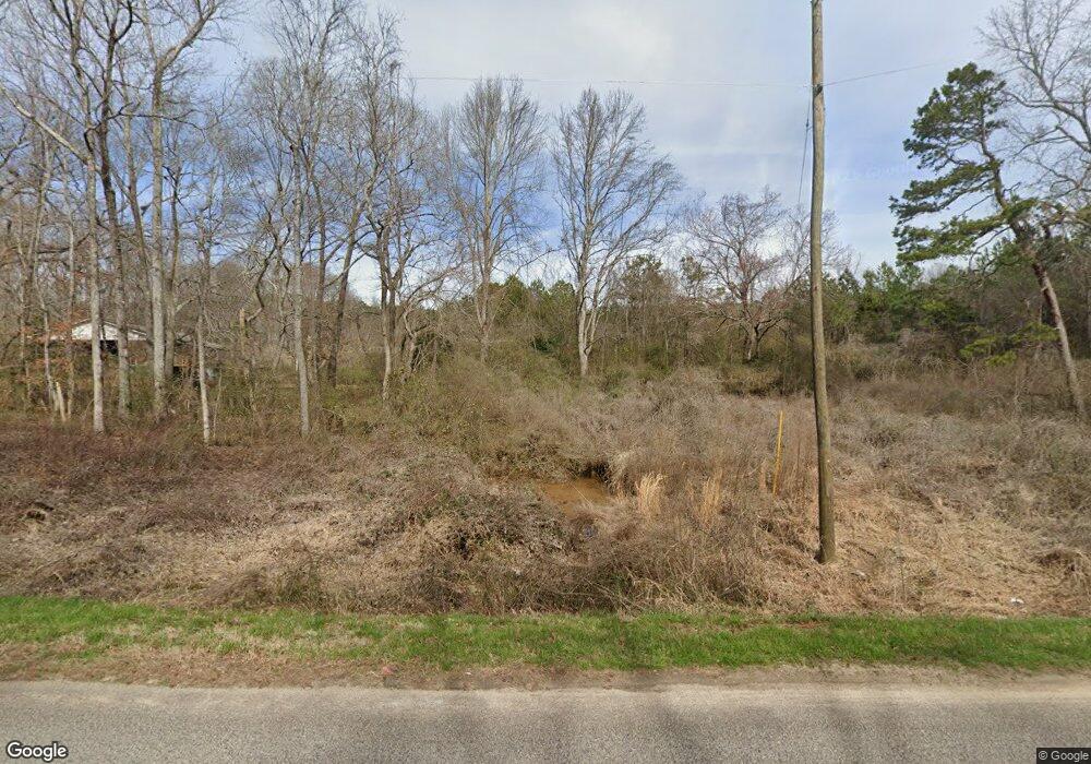
Estimated Value: $170,000 - $469,000
2
Beds
2
Baths
1,148
Sq Ft
$277/Sq Ft
Est. Value
About This Home
This home is located at 790 Sanders Rd, Hull, GA 30646 and is currently estimated at $317,477, approximately $276 per square foot. 790 Sanders Rd is a home located in Madison County with nearby schools including Madison County High School.
Ownership History
Date
Name
Owned For
Owner Type
Purchase Details
Closed on
Mar 14, 2011
Sold by
L Baker Enterprises Llc
Bought by
Tier 1 Investments Llc
Current Estimated Value
Purchase Details
Closed on
Jul 28, 2004
Sold by
Everhardt James Dwight Jr Aka
Bought by
Baker Leo R
Purchase Details
Closed on
Jul 7, 2004
Sold by
Everhardt James Dwight Ii Aka
Bought by
Everhardt James Dwight Jr Aka James
Purchase Details
Closed on
Jan 1, 1985
Bought by
Howard Helen L
Create a Home Valuation Report for This Property
The Home Valuation Report is an in-depth analysis detailing your home's value as well as a comparison with similar homes in the area
Home Values in the Area
Average Home Value in this Area
Purchase History
| Date | Buyer | Sale Price | Title Company |
|---|---|---|---|
| Tier 1 Investments Llc | $1,250,000 | -- | |
| L Baker Enterprises Llc | -- | -- | |
| Baker Leo R | $110,000 | -- | |
| Everhardt James Dwight Jr Aka James | -- | -- | |
| Everhardt James Dwight Ii Aka Jimmy | -- | -- | |
| Howard Helen L | -- | -- |
Source: Public Records
Tax History Compared to Growth
Tax History
| Year | Tax Paid | Tax Assessment Tax Assessment Total Assessment is a certain percentage of the fair market value that is determined by local assessors to be the total taxable value of land and additions on the property. | Land | Improvement |
|---|---|---|---|---|
| 2024 | $2,406 | $92,452 | $51,114 | $41,338 |
| 2023 | $2,476 | $81,102 | $42,595 | $38,507 |
| 2022 | $1,753 | $63,569 | $29,284 | $34,285 |
| 2021 | $1,707 | $55,920 | $29,284 | $26,636 |
| 2020 | $1,588 | $51,660 | $25,024 | $26,636 |
| 2019 | $1,589 | $51,084 | $25,024 | $26,060 |
| 2018 | $1,504 | $48,233 | $22,894 | $25,339 |
| 2017 | $1,320 | $45,839 | $21,298 | $24,541 |
| 2016 | $1,208 | $42,078 | $21,298 | $20,781 |
| 2015 | -- | $42,078 | $21,298 | $20,781 |
| 2014 | -- | $45,226 | $24,319 | $20,907 |
| 2013 | -- | $1,970 | $0 | $1,970 |
Source: Public Records
Map
Nearby Homes
- 1097 Garnett Ward Rd Unit 1
- 1067 Garnett Ward Rd Unit 2
- 1061 Garnett Ward Rd Unit 3
- 1045 Garnett Ward Rd Unit 4
- 260 Oak Cir
- 166 Oak Cir
- 465 Stone Creek Dr
- 103 Three Rivers Ct
- 905 Adams Duncan Rd
- 6716 U S 29
- 135 Adams Duncan Rd
- 149 Candlestick Dr
- 1246 Stone Stewart Rd
- 7241 Highway 29 S
- 1176 Kimberly Cir
- 832 Stone Stewart Rd
- 0 Stone Stewart Rd Unit 7519457
- 0 Stone Stewart Rd Unit 10452697
- 0 Stone Stewart Rd Unit 1023553
- 210 Joe Graham Rd
- 1975 Diamond Hill Neese Rd
- 1803 Garnett Ward Rd
- 1864 Garnett Ward Rd
- 1773 Garnett Ward Rd
- 653 Sanders Rd
- 596 Sanders Rd
- 627 Sanders Rd
- 1770 Garnett Ward Rd
- 1707 Garnett Ward Rd
- 0 Willis Glenn Rd
- 597 Sanders Rd
- 1714 Garnett Ward Rd
- 0 Spratlin Mill Unit 8828189
- 0 Spratlin Mill Unit 8563602
- 1682 Garnett Ward Rd
- 60 Beford Dr
- 0 Highway 72w
- 0 Hwy 72w
- 0 Jacob's Field Unit 15 LOTS 8764932
- 1654 Garnett Ward Rd
