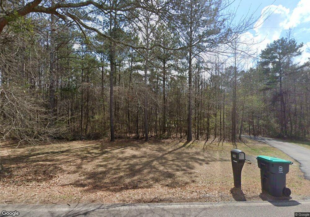
790 Sowell Rd McDonough, GA 30252
Estimated Value: $270,000 - $395,000
3
Beds
2
Baths
1,581
Sq Ft
$218/Sq Ft
Est. Value
About This Home
This home is located at 790 Sowell Rd, McDonough, GA 30252 and is currently estimated at $344,931, approximately $218 per square foot. 790 Sowell Rd is a home located in Henry County with nearby schools including Tussahaw Elementary School, Locust Grove Middle School, and Locust Grove High School.
Ownership History
Date
Name
Owned For
Owner Type
Purchase Details
Closed on
Aug 30, 2013
Sold by
St Cyr Leah R
Bought by
Register Leah R and Register Evan L
Current Estimated Value
Purchase Details
Closed on
Feb 15, 2008
Sold by
Wells Fargo Finl Ga Inc
Bought by
St Cyr Leah R
Home Financials for this Owner
Home Financials are based on the most recent Mortgage that was taken out on this home.
Original Mortgage
$125,100
Interest Rate
5.85%
Mortgage Type
New Conventional
Purchase Details
Closed on
Nov 6, 2007
Sold by
Moon Julie G and Moon Reginald H
Bought by
Wells Fargo Financial Georgia
Create a Home Valuation Report for This Property
The Home Valuation Report is an in-depth analysis detailing your home's value as well as a comparison with similar homes in the area
Home Values in the Area
Average Home Value in this Area
Purchase History
| Date | Buyer | Sale Price | Title Company |
|---|---|---|---|
| Register Leah R | -- | -- | |
| St Cyr Leah R | $129,000 | -- | |
| Wells Fargo Financial Georgia | $140,000 | -- |
Source: Public Records
Mortgage History
| Date | Status | Borrower | Loan Amount |
|---|---|---|---|
| Previous Owner | St Cyr Leah R | $125,100 |
Source: Public Records
Tax History
| Year | Tax Paid | Tax Assessment Tax Assessment Total Assessment is a certain percentage of the fair market value that is determined by local assessors to be the total taxable value of land and additions on the property. | Land | Improvement |
|---|---|---|---|---|
| 2025 | $6,011 | $151,040 | $23,280 | $127,760 |
| 2024 | $0 | $129,800 | $20,960 | $108,840 |
| 2023 | $5,173 | $133,800 | $20,160 | $113,640 |
| 2022 | $4,120 | $106,360 | $18,640 | $87,720 |
| 2021 | $3,196 | $82,280 | $16,000 | $66,280 |
| 2020 | $2,808 | $72,160 | $15,040 | $57,120 |
| 2019 | $2,587 | $66,400 | $14,280 | $52,120 |
| 2018 | $2,524 | $64,760 | $13,200 | $51,560 |
| 2016 | $1,926 | $49,160 | $11,640 | $37,520 |
| 2015 | -- | $47,440 | $13,400 | $34,040 |
| 2014 | -- | $0 | $0 | $0 |
Source: Public Records
Map
Nearby Homes
- 1616 King Mill Rd
- 113 Lighthorse Blvd
- 242 Old Jackson Rd
- 315 S Bethany Rd
- 461 Old Jackson Rd
- 275 S Bethany Rd
- 1926 King Mill Rd
- 1916 King Mill Rd
- 1936 King Mill Rd
- 1171 King Mill Rd
- 284 Sowell Rd
- 103 Royal Way
- 890 S Bethany Rd
- 941 King Mill Rd
- 767 Old Jackson Rd
- 150 Whitaker Rd
- 725 Old Jackson Rd
- 1012 King Mill Rd
- 1891 Highway 81 E
- 206 Arthur Dr
- 810 Sowell Rd
- 760 Sowell Rd
- 809 Sowell Rd
- 797 Sowell Rd
- 815 Sowell Rd
- 850 Sowell Rd
- 1617 King Mill Rd
- 767 Sowell Rd
- 825 Sowell Rd
- 730 Sowell Rd
- 1654 King Mill Rd
- 1635 King Mill Rd
- 860 Sowell Rd
- 747 Sowell Rd
- 847 Sowell Rd
- 1665 King Mill Rd
- 101 Lighthorse Blvd
- 1569 King Mill Rd
- 727 Sowell Rd
- 105 Lighthorse Blvd
Your Personal Tour Guide
Ask me questions while you tour the home.
