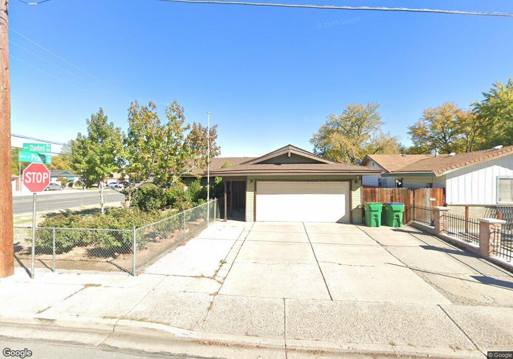
790 Stanford Way Sparks, NV 89431
McCarran Boulevard-Probasco NeighborhoodEstimated Value: $407,054 - $452,000
4
Beds
2
Baths
1,406
Sq Ft
$307/Sq Ft
Est. Value
About This Home
This home is located at 790 Stanford Way, Sparks, NV 89431 and is currently estimated at $431,014, approximately $306 per square foot. 790 Stanford Way is a home located in Washoe County with nearby schools including Lincoln Park Elementary School, George L Dilworth Middle School, and Sparks High School.
Ownership History
Date
Name
Owned For
Owner Type
Purchase Details
Closed on
Aug 6, 2002
Sold by
Patel Mahesh Hirabhai and Patel Anila Mahesh
Bought by
Patel Mahesh Hirabhai and Patel Anila Mahesh
Current Estimated Value
Purchase Details
Closed on
Mar 28, 1996
Sold by
Galau Robert C and Galau Jacqueline C
Bought by
Patel Mahesh Hirabhai and Patel Anila Mahesh
Home Financials for this Owner
Home Financials are based on the most recent Mortgage that was taken out on this home.
Original Mortgage
$116,922
Outstanding Balance
$3,061
Interest Rate
6.98%
Mortgage Type
FHA
Estimated Equity
$427,953
Create a Home Valuation Report for This Property
The Home Valuation Report is an in-depth analysis detailing your home's value as well as a comparison with similar homes in the area
Home Values in the Area
Average Home Value in this Area
Purchase History
| Date | Buyer | Sale Price | Title Company |
|---|---|---|---|
| Patel Mahesh Hirabhai | -- | -- | |
| Patel Mahesh Hirabhai | $118,000 | Stewart Title |
Source: Public Records
Mortgage History
| Date | Status | Borrower | Loan Amount |
|---|---|---|---|
| Open | Patel Mahesh Hirabhai | $116,922 |
Source: Public Records
Tax History
| Year | Tax Paid | Tax Assessment Tax Assessment Total Assessment is a certain percentage of the fair market value that is determined by local assessors to be the total taxable value of land and additions on the property. | Land | Improvement |
|---|---|---|---|---|
| 2026 | -- | $52,649 | $28,977 | $23,672 |
| 2024 | $902 | $50,288 | $27,059 | $23,230 |
| 2023 | $877 | $49,678 | $28,193 | $21,485 |
| 2022 | $852 | $41,011 | $23,562 | $17,449 |
| 2021 | $827 | $33,003 | $16,160 | $16,843 |
| 2020 | $801 | $31,994 | $15,246 | $16,748 |
| 2019 | $780 | $30,146 | $14,301 | $15,845 |
| 2018 | $758 | $25,779 | $10,553 | $15,226 |
| 2017 | $736 | $24,425 | $9,356 | $15,069 |
| 2016 | $718 | $23,499 | $8,411 | $15,088 |
| 2015 | $714 | $21,830 | $6,930 | $14,900 |
| 2014 | $696 | $19,840 | $5,796 | $14,044 |
| 2013 | -- | $18,495 | $4,057 | $14,438 |
Source: Public Records
Map
Nearby Homes
- 690 Lyyski St
- 1108 1st St
- 316 Prater Way
- 112 K St
- 1030 4th St
- 483 Beacon Hill Ct Unit 16-D
- 370 O'Brien Way
- 314 M St
- 435 Pine Meadows Dr Unit 1
- 560 Nichols Blvd
- 661 Oakwood Dr Unit 3
- 601 Oakwood Dr Unit 4
- 105 O St
- 480 E Mclean Way
- 115 P St
- 401 6th St
- 181 Quail St
- 909 Mesa Ridge Dr Unit 1
- 501 7th St
- 820 G St
Your Personal Tour Guide
Ask me questions while you tour the home.